201 Lake Forest Dr Bonner Springs, KS 66012
Estimated Value: $431,608 - $524,000
3
Beds
2
Baths
1,891
Sq Ft
$258/Sq Ft
Est. Value
About This Home
This home is located at 201 Lake Forest Dr, Bonner Springs, KS 66012 and is currently estimated at $488,402, approximately $258 per square foot. 201 Lake Forest Dr is a home located in Wyandotte County with nearby schools including Robert E Clark Middle School and Bonner Springs High School.
Ownership History
Date
Name
Owned For
Owner Type
Purchase Details
Closed on
Sep 24, 2025
Sold by
Ransopher Milo and Crough Lisa Dawn
Bought by
Ransopher Crough Family Trust and Ransopher
Current Estimated Value
Purchase Details
Closed on
Oct 22, 2021
Sold by
Crough Lisa D and Ransopher Milo
Bought by
Crough Lisa D
Purchase Details
Closed on
Jun 9, 2016
Sold by
Fix Mark J and Fix Michele
Bought by
Crough Lisa D and Ransopher Milo
Purchase Details
Closed on
Apr 24, 2015
Sold by
Fix Mark J
Bought by
Fix Mark J and Fix Michele
Create a Home Valuation Report for This Property
The Home Valuation Report is an in-depth analysis detailing your home's value as well as a comparison with similar homes in the area
Home Values in the Area
Average Home Value in this Area
Purchase History
| Date | Buyer | Sale Price | Title Company |
|---|---|---|---|
| Ransopher Crough Family Trust | -- | None Listed On Document | |
| Crough Lisa D | -- | None Available | |
| Crough Lisa D | -- | Superior Title | |
| Fix Mark J | -- | None Available |
Source: Public Records
Tax History Compared to Growth
Tax History
| Year | Tax Paid | Tax Assessment Tax Assessment Total Assessment is a certain percentage of the fair market value that is determined by local assessors to be the total taxable value of land and additions on the property. | Land | Improvement |
|---|---|---|---|---|
| 2024 | $7,964 | $49,864 | $10,061 | $39,803 |
| 2023 | $7,772 | $45,728 | $9,663 | $36,065 |
| 2022 | $7,824 | $45,483 | $9,658 | $35,825 |
| 2021 | $6,891 | $37,494 | $8,500 | $28,994 |
| 2020 | $6,679 | $36,401 | $8,472 | $27,929 |
| 2019 | $6,773 | $36,612 | $8,597 | $28,015 |
| 2018 | $1,434 | $4,828 | $4,828 | $0 |
| 2017 | $1,442 | $5,238 | $4,620 | $618 |
| 2016 | $2,585 | $12,213 | $4,620 | $7,593 |
| 2015 | $2,586 | $12,213 | $4,620 | $7,593 |
| 2014 | -- | $13,544 | $5,124 | $8,420 |
Source: Public Records
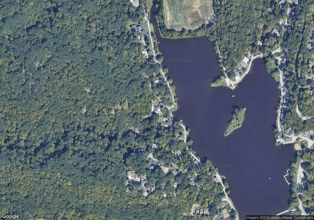
Map
Nearby Homes
- 205 Lake Forest Dr
- 1300 Edwardsville Dr
- 1630 S 105th Terrace
- 1548 S 105th Ct
- 10506 Shelton Ave
- 98th Metropolitan Ave
- 9687 Metropolitan Ave
- 1131 S 105 St
- 603 Newton St
- 1197 S 104th St
- 828 Highland Dr
- 789 Highland Dr
- 800 Highland Dr
- The Delia Plan at Highland Ridge
- The Courtland Plan at Highland Ridge
- 781 Highland Dr
- 824 Highland Dr
- 507 High St
- 507 Newton St
- 4414 Aminda St
- 201 Lake of the Forest
- 202 Lake of the Forest
- 203 Lake Forest Dr
- 203 Lake of the Forest
- 204 Lake of the Forest
- 205 Lake of the Forest
- 114 Lake Forest
- 114 Lake of the Forest
- 206 Lake of the Forest
- 113 Lake of the Forest
- 116 Lake of the Forest
- 112 Lake of the Forest
- 207 Lake of the Forest
- 310 Lake of the Forest
- 111 Lake of the Forest
- 208 Lake of the Forest
- 308 Lake of the Forest
- 311 Lake of the Forest
- 209 Lake of the Forest
- 109 Lake of the Forest