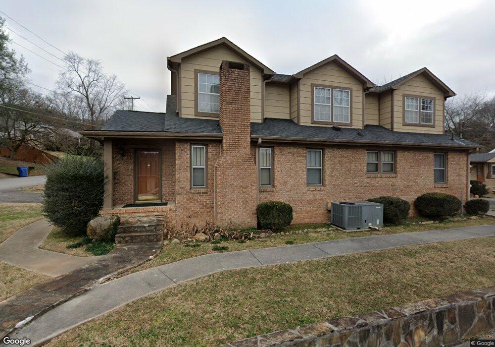
201 Lancaster Ave Chattanooga, TN 37415
Estimated Value: $311,000 - $475,000
--
Bed
1
Bath
2,816
Sq Ft
$146/Sq Ft
Est. Value
About This Home
This home is located at 201 Lancaster Ave, Chattanooga, TN 37415 and is currently estimated at $410,402, approximately $145 per square foot. 201 Lancaster Ave is a home with nearby schools including Red Bank Elementary School, Red Bank Middle School, and Red Bank High School.
Ownership History
Date
Name
Owned For
Owner Type
Purchase Details
Closed on
Dec 28, 2007
Sold by
Pierce Mildred Floy and Pierce Larry Lee
Bought by
Broome Deana L
Current Estimated Value
Home Financials for this Owner
Home Financials are based on the most recent Mortgage that was taken out on this home.
Original Mortgage
$120,000
Interest Rate
6.21%
Mortgage Type
Purchase Money Mortgage
Purchase Details
Closed on
Apr 25, 2005
Sold by
Hudson Matthew Lee
Bought by
Pierce Mildred Floy
Purchase Details
Closed on
Apr 8, 2005
Sold by
Broome Mildred Floy Pierce
Bought by
Hudson Matthew Lee
Create a Home Valuation Report for This Property
The Home Valuation Report is an in-depth analysis detailing your home's value as well as a comparison with similar homes in the area
Home Values in the Area
Average Home Value in this Area
Purchase History
| Date | Buyer | Sale Price | Title Company |
|---|---|---|---|
| Broome Deana L | $126,316 | Century Title & Escrow Inc | |
| Pierce Mildred Floy | -- | -- | |
| Hudson Matthew Lee | -- | -- |
Source: Public Records
Mortgage History
| Date | Status | Borrower | Loan Amount |
|---|---|---|---|
| Closed | Broome Deana L | $120,000 |
Source: Public Records
Tax History Compared to Growth
Tax History
| Year | Tax Paid | Tax Assessment Tax Assessment Total Assessment is a certain percentage of the fair market value that is determined by local assessors to be the total taxable value of land and additions on the property. | Land | Improvement |
|---|---|---|---|---|
| 2024 | $1,875 | $83,800 | $0 | $0 |
| 2023 | $3,484 | $83,800 | $0 | $0 |
| 2022 | $2,855 | $83,800 | $0 | $0 |
| 2021 | $3,431 | $83,800 | $0 | $0 |
| 2020 | $2,892 | $54,440 | $0 | $0 |
| 2019 | $2,892 | $54,440 | $0 | $0 |
| 2018 | $2,892 | $54,440 | $0 | $0 |
| 2017 | $2,779 | $54,440 | $0 | $0 |
| 2016 | $2,804 | $0 | $0 | $0 |
| 2015 | $2,603 | $53,040 | $0 | $0 |
| 2014 | $2,603 | $0 | $0 | $0 |
Source: Public Records
Map
Nearby Homes
- 103 Laurel Dr
- 215 W Newberry St
- 3115 Greenwich Ave
- 2621 Berkley Dr
- 127 P Poole Ave
- 3227 Joselin Ln
- 221 Cliftview Dr
- 3222 Joselin Ln
- 2510 Nonova Ln
- 3511 Oakland Terrace
- 2535 Leaning Tree Ln
- 3513 Oakland Terrace
- 1028 N Runyan Dr
- 0 Ozark Cir
- 506 Semi Cir
- 2400 Briggs Ave
- 3235 Haywood Ave
- 2400 Ashmore Ave
- 918 Lullwater Rd
- 2922 Nurick Dr
- 203 Lancaster Ave
- 3101 Elmore Ave
- 205 Lancaster Ave
- 3100 Elmore Ave
- 200 Lancaster Ave
- 3102 Elmore Ave
- 204 Lancaster Ave
- 206 Lancaster Ave
- 109 Lancaster Ave
- 198 Lancaster Ave
- 3104 Elmore Ave
- 209 Lancaster Ave
- 3102 Carlton Ave
- 208 Lancaster Ave
- 3105 Elmore Ave
- 107 Lancaster Ave
- 309 Lancaster Ave
- 3104 Carlton Ave
- 2906 Berkley Dr
- 3106 Carlton Ave