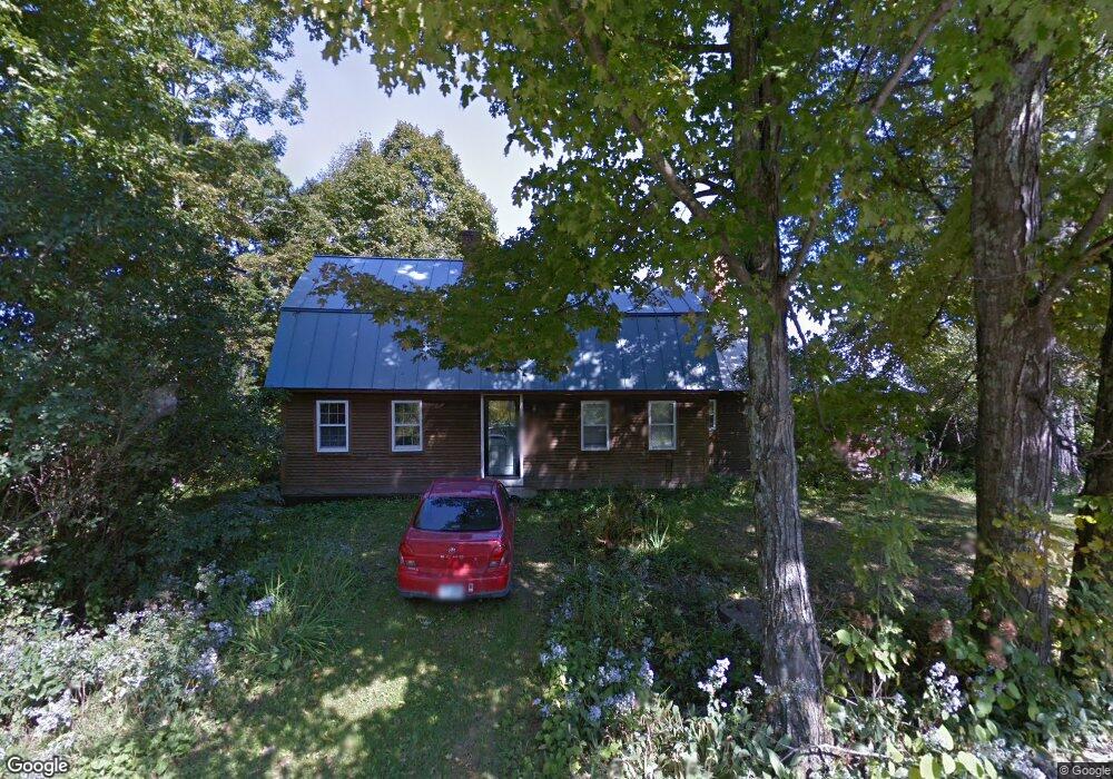
201 Lang Rd Cornish, NH 03745
Cornish Colony NeighborhoodEstimated Value: $542,019 - $648,000
3
Beds
3
Baths
3,032
Sq Ft
$195/Sq Ft
Est. Value
About This Home
This home is located at 201 Lang Rd, Cornish, NH 03745 and is currently estimated at $592,505, approximately $195 per square foot. 201 Lang Rd is a home with nearby schools including Cornish Elementary School and Estabrook Christian School.
Create a Home Valuation Report for This Property
The Home Valuation Report is an in-depth analysis detailing your home's value as well as a comparison with similar homes in the area
Home Values in the Area
Average Home Value in this Area
Tax History
| Year | Tax Paid | Tax Assessment Tax Assessment Total Assessment is a certain percentage of the fair market value that is determined by local assessors to be the total taxable value of land and additions on the property. | Land | Improvement |
|---|---|---|---|---|
| 2025 | $8,378 | $484,300 | $175,900 | $308,400 |
| 2024 | $7,841 | $484,300 | $175,900 | $308,400 |
| 2023 | $6,938 | $264,500 | $104,200 | $160,300 |
| 2022 | $6,261 | $264,500 | $104,200 | $160,300 |
| 2021 | $6,007 | $264,500 | $104,200 | $160,300 |
| 2020 | $5,631 | $264,500 | $104,200 | $160,300 |
| 2019 | $5,163 | $264,500 | $104,200 | $160,300 |
| 2018 | $5,291 | $240,600 | $94,500 | $146,100 |
| 2017 | $2,931 | $235,900 | $94,500 | $141,400 |
| 2016 | $2,889 | $235,300 | $94,500 | $140,800 |
| 2015 | $5,400 | $234,900 | $94,500 | $140,400 |
| 2014 | $5,337 | $234,900 | $94,500 | $140,400 |
| 2013 | $5,515 | $263,000 | $101,000 | $162,000 |
Source: Public Records
Map
Nearby Homes
- 19 Spruce Park Dr
- 1106 Route 12a
- 1507 New Hampshire 12a
- 223 Taylor Dr
- 1041 Stage Rd
- 763 Center Rd
- 00 Barber Ln
- 22 King Dr
- 528 Town House Rd
- 0 Town House Rd Unit 28
- 14 Summarsell Dr Unit 16
- 89 Route 12
- 56 Mount Hunger Rd
- 00 Tandy Brook Rd Unit 12
- 8 Laclair Dr
- 94 Porter Rd
- 49 Clay Hill Rd
- 11 Cubb Ct
- 23 Cubb Ct
- 84 Cubb Ct
Your Personal Tour Guide
Ask me questions while you tour the home.