201 Log Hill Rd Carlisle, MA 01741
Estimated Value: $993,000 - $1,411,000
4
Beds
3
Baths
2,052
Sq Ft
$558/Sq Ft
Est. Value
About This Home
This home is located at 201 Log Hill Rd, Carlisle, MA 01741 and is currently estimated at $1,145,403, approximately $558 per square foot. 201 Log Hill Rd is a home located in Middlesex County with nearby schools including Carlisle School and Middlesex School.
Ownership History
Date
Name
Owned For
Owner Type
Purchase Details
Closed on
Sep 3, 2020
Sold by
King Michael C and King Claire R
Bought by
King Rt
Current Estimated Value
Purchase Details
Closed on
Aug 27, 2020
Sold by
King Michael C and King Claire R
Bought by
King Rt
Purchase Details
Closed on
Mar 28, 2005
Sold by
Bhavnani Krishin H
Bought by
King Claire R and King Michael C
Create a Home Valuation Report for This Property
The Home Valuation Report is an in-depth analysis detailing your home's value as well as a comparison with similar homes in the area
Home Values in the Area
Average Home Value in this Area
Purchase History
| Date | Buyer | Sale Price | Title Company |
|---|---|---|---|
| King Rt | -- | None Available | |
| King Rt | -- | None Available | |
| King Claire R | -- | -- |
Source: Public Records
Tax History Compared to Growth
Tax History
| Year | Tax Paid | Tax Assessment Tax Assessment Total Assessment is a certain percentage of the fair market value that is determined by local assessors to be the total taxable value of land and additions on the property. | Land | Improvement |
|---|---|---|---|---|
| 2025 | $10,877 | $825,300 | $566,300 | $259,000 |
| 2024 | $10,731 | $805,000 | $522,700 | $282,300 |
| 2023 | $11,872 | $839,000 | $500,900 | $338,100 |
| 2022 | $12,433 | $753,500 | $457,400 | $296,100 |
| 2021 | $12,267 | $753,500 | $457,400 | $296,100 |
| 2020 | $11,925 | $649,500 | $352,800 | $296,700 |
| 2019 | $11,744 | $642,100 | $352,800 | $289,300 |
| 2018 | $11,667 | $642,100 | $352,800 | $289,300 |
| 2017 | $11,307 | $641,700 | $352,800 | $288,900 |
| 2016 | $11,037 | $641,700 | $352,800 | $288,900 |
| 2015 | $11,387 | $599,300 | $352,800 | $246,500 |
| 2014 | $11,171 | $599,300 | $352,800 | $246,500 |
Source: Public Records
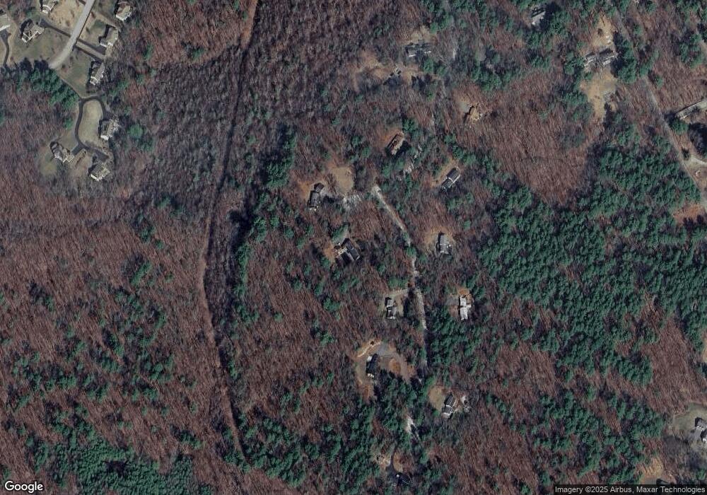
Map
Nearby Homes
- 17 Northbriar Rd
- 27 Hartland Way Unit 309
- 927 Main St
- 1 Quarry Rd
- 875 Acton St
- 0 Heald Rd
- 6 Bittersweet Ln
- 0 Judy Farm Rd
- 7 Blue Heron Way
- 10 Blue Heron Way Unit 10
- 10 Blue Heron Way
- 407 Great Rd Unit 9
- 403 Great Rd Unit 5
- 16 Wampus Ave Unit 32
- 386 Great Rd Unit A8
- 420 Great Rd Unit B3
- 428 Great Rd Unit 10
- 104 Channing Rd
- 134 Pope Rd
- 19 Whippoorwill Ln
- 192 Log Hill Rd
- 52 Woodland Rd
- 29 Woodland Rd
- 154 Log Hill Rd
- 78 Woodland Rd
- 153 Log Hill Rd
- 57 Woodland Rd
- 128 Log Hill Rd
- 129 Log Hill Rd
- 87 Woodland Rd
- 104 Log Hill Rd
- 111 Log Hill Rd
- 123 Woodland Rd
- 80 Log Hill Rd
- 67 Canterbury Hill Rd Unit 41
- 69 Canterbury Hill Rd Unit 40
- 864 West St
- 65 Canterbury Hill Rd
- 71 Canterbury Hill Rd
- 71 Log Hill Rd