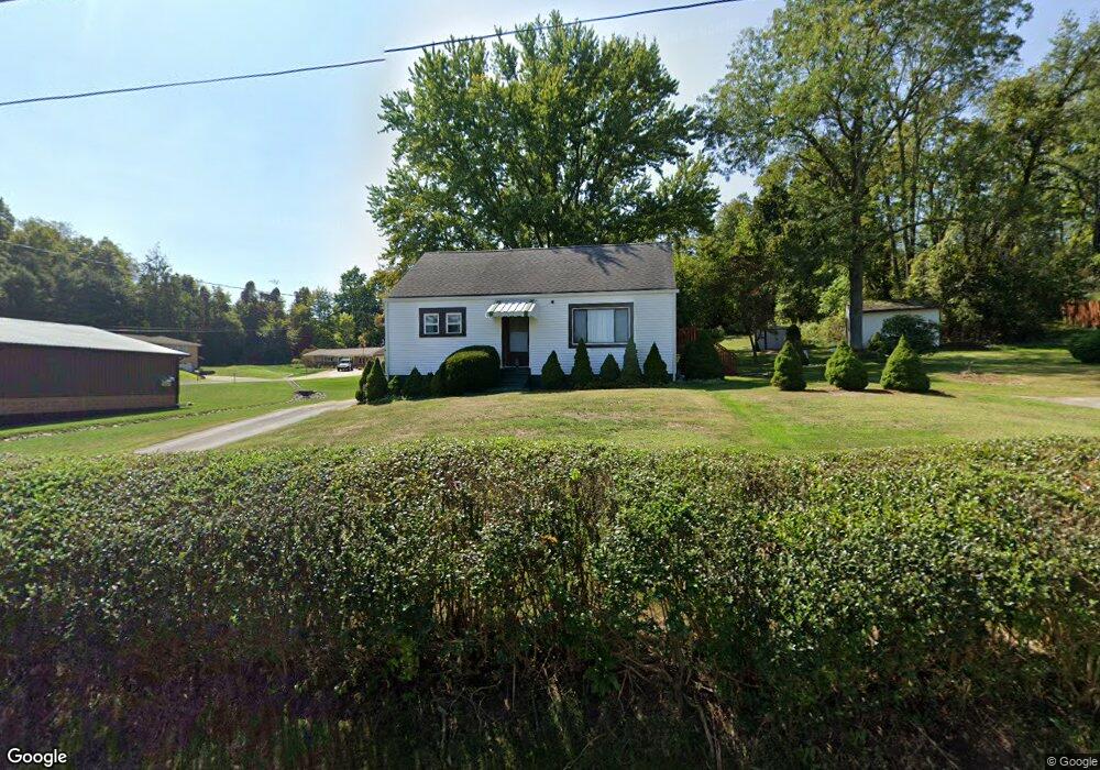
201 Mcwilliams Rd Trafford, PA 15085
Penn Township NeighborhoodEstimated Value: $66,099 - $250,000
--
Bed
--
Bath
1,499
Sq Ft
$135/Sq Ft
Est. Value
About This Home
This home is located at 201 Mcwilliams Rd, Trafford, PA 15085 and is currently estimated at $202,025, approximately $134 per square foot. 201 Mcwilliams Rd is a home located in Westmoreland County with nearby schools including Penn Trafford High School.
Ownership History
Date
Name
Owned For
Owner Type
Purchase Details
Closed on
Oct 5, 2025
Sold by
Putt David R
Bought by
Chovan Steven L
Current Estimated Value
Purchase Details
Closed on
Apr 1, 2019
Sold by
Putt David R
Bought by
Caroline Stanley J and Peduzzi Laura A
Purchase Details
Closed on
Oct 18, 2017
Sold by
Putt David R
Bought by
Barnyk Midchale M and Barnyk Marila Lena
Purchase Details
Closed on
May 13, 2002
Sold by
Putt Helen S
Bought by
Putt David R
Create a Home Valuation Report for This Property
The Home Valuation Report is an in-depth analysis detailing your home's value as well as a comparison with similar homes in the area
Home Values in the Area
Average Home Value in this Area
Purchase History
| Date | Buyer | Sale Price | Title Company |
|---|---|---|---|
| Chovan Steven L | $500 | None Listed On Document | |
| Caroline Stanley J | $500 | None Listed On Document | |
| Caroline Stanley J | $1,000 | None Available | |
| Barnyk Midchale M | -- | None Available | |
| Putt David R | -- | -- |
Source: Public Records
Tax History Compared to Growth
Tax History
| Year | Tax Paid | Tax Assessment Tax Assessment Total Assessment is a certain percentage of the fair market value that is determined by local assessors to be the total taxable value of land and additions on the property. | Land | Improvement |
|---|---|---|---|---|
| 2025 | $2,131 | $15,560 | $2,720 | $12,840 |
| 2024 | $2,115 | $15,560 | $2,720 | $12,840 |
| 2023 | $275 | $15,560 | $2,720 | $12,840 |
| 2022 | $1,983 | $15,560 | $2,720 | $12,840 |
| 2021 | $1,967 | $15,560 | $2,720 | $12,840 |
| 2020 | $1,952 | $15,560 | $2,720 | $12,840 |
| 2019 | $2,059 | $16,820 | $3,980 | $12,840 |
| 2018 | $2,001 | $17,270 | $4,430 | $12,840 |
| 2017 | $2,002 | $17,270 | $4,430 | $12,840 |
| 2016 | $1,944 | $17,270 | $4,430 | $12,840 |
| 2015 | $1,944 | $17,270 | $4,430 | $12,840 |
| 2014 | $1,909 | $17,270 | $4,430 | $12,840 |
Source: Public Records
Map
Nearby Homes
- 1004 Blueridge Ct
- 729 State Route 130
- 1015 Noble Pine Ct
- 611 & 611 1/2 Sixth St
- 0 Evergreen (Lot 21-22) Unit 1711486
- 708 State Route 130
- 6178 Baker School Rd
- 301 Pine Hollow Rd
- 6411 Ten Point Cir
- 674 Meadowbrook Rd
- 1004 Christina Ct
- 1010 1st St
- 129 Fern Dr
- 117 Plum Dr
- 233 Saunders Station Rd
- 0 Pine Hollow Road Extension
- 204 Ridgecrest Ct
- 4073 Route 130
- 5010 Prides Ct
- 101 Ardennes Ct
- 202 Kuehn Dr
- 117 Mcwilliams Rd
- 852 Harrison City Rd
- 110 Mcwilliams Rd
- 204 Kuehn Dr
- 115 Mcwilliams Rd
- 206 Mcwilliams Rd
- 107 Pansy Ln
- 203 Kuehn Dr
- 111 Pansy Ln
- 225 Mcwilliams Rd
- 113 Mcwilliams Rd
- 206 Kuehn Dr
- 113 Pansy Ln
- 301 Kuehn Ave
- 212 Mcwilliams Rd
- 303 Peach Way
- 108 Mcwilliams Rd
- 113 Terrace Ct
- 305 Peach Way