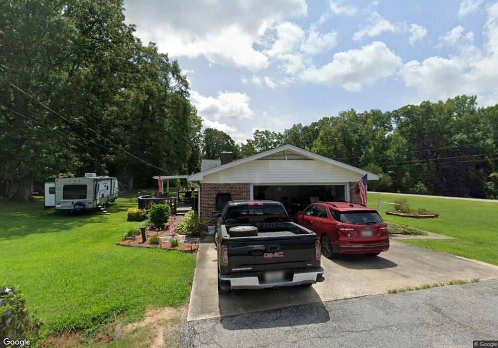
201 Mitchell St Laurens, SC 29360
Estimated Value: $209,902 - $310,000
3
Beds
2
Baths
1,750
Sq Ft
$153/Sq Ft
Est. Value
About This Home
This home is located at 201 Mitchell St, Laurens, SC 29360 and is currently estimated at $267,726, approximately $152 per square foot. 201 Mitchell St is a home located in Laurens County with nearby schools including E.B. Morse Elementary School, Sanders Middle School, and Laurens District 55 High School.
Ownership History
Date
Name
Owned For
Owner Type
Purchase Details
Closed on
Oct 23, 2012
Sold by
Wiles Brian L and Stephens Lind Wiles
Bought by
Davenport Jeffrey L
Current Estimated Value
Create a Home Valuation Report for This Property
The Home Valuation Report is an in-depth analysis detailing your home's value as well as a comparison with similar homes in the area
Home Values in the Area
Average Home Value in this Area
Purchase History
| Date | Buyer | Sale Price | Title Company |
|---|---|---|---|
| Davenport Jeffrey L | $113,000 | None Available |
Source: Public Records
Tax History Compared to Growth
Tax History
| Year | Tax Paid | Tax Assessment Tax Assessment Total Assessment is a certain percentage of the fair market value that is determined by local assessors to be the total taxable value of land and additions on the property. | Land | Improvement |
|---|---|---|---|---|
| 2024 | $790 | $4,160 | $320 | $3,840 |
| 2023 | $713 | $3,656 | $420 | $3,236 |
| 2022 | $490 | $4,160 | $320 | $3,840 |
| 2021 | $370 | $3,620 | $300 | $3,320 |
| 2020 | $337 | $3,620 | $300 | $3,320 |
| 2019 | $361 | $3,620 | $300 | $3,320 |
| 2018 | $397 | $3,620 | $300 | $3,320 |
| 2017 | $390 | $3,620 | $300 | $3,320 |
| 2015 | $692 | $3,670 | $350 | $3,320 |
| 2014 | $692 | $3,670 | $350 | $3,320 |
| 2013 | $692 | $3,670 | $350 | $3,320 |
Source: Public Records
Map
Nearby Homes
- 202 Mitchell St
- 00 Woodbluff Rd
- 103 David St
- 104 Mitchell St
- 00 Ashley Ln
- 100 Pamela Ln
- BELHAVEN Plan at Gibson Grove
- DARWIN Plan at Gibson Grove
- BRANDON Plan at Gibson Grove
- FREEPORT Plan at Gibson Grove
- CALI Plan at Gibson Grove
- PENWELL Plan at Gibson Grove
- TAYLOR Plan at Gibson Grove
- ARIA Plan at Gibson Grove
- SANFORD Plan at Gibson Grove
- CAMERON EXPRESS Plan at Gibson Grove
- 303 Woodbluff Rd
- 107 Forest Dr
- 00 Blakely Ave
- 114 Elgin Dr