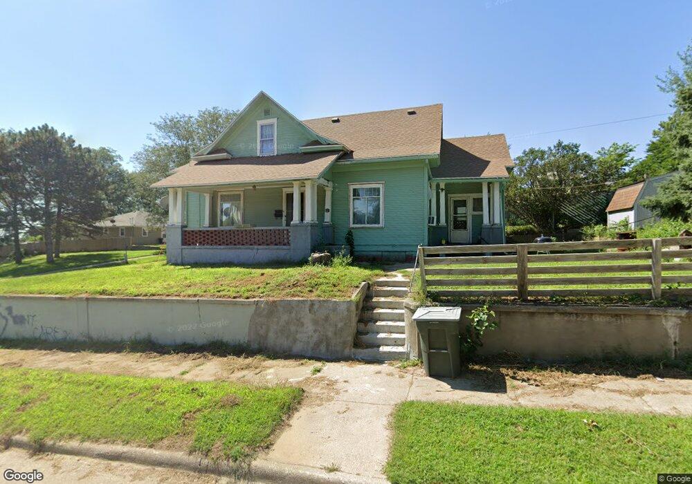
201 Myrtle St Sioux City, IA 51103
West Side Sioux City NeighborhoodEstimated Value: $96,000 - $161,019
3
Beds
3
Baths
1,604
Sq Ft
$85/Sq Ft
Est. Value
About This Home
This home is located at 201 Myrtle St, Sioux City, IA 51103 and is currently estimated at $136,755, approximately $85 per square foot. 201 Myrtle St is a home located in Woodbury County with nearby schools including Loess Hills Elementary School, West Middle School, and West High School.
Ownership History
Date
Name
Owned For
Owner Type
Purchase Details
Closed on
Mar 20, 2017
Sold by
Pichinte Dora
Bought by
Pichinte Jose
Current Estimated Value
Purchase Details
Closed on
Oct 16, 2007
Sold by
Oddo Cereno and Oddo Sheryl
Bought by
Pinchinte Jose and Pinchinte Dora
Home Financials for this Owner
Home Financials are based on the most recent Mortgage that was taken out on this home.
Original Mortgage
$49,400
Outstanding Balance
$31,114
Interest Rate
6.38%
Mortgage Type
New Conventional
Estimated Equity
$105,641
Create a Home Valuation Report for This Property
The Home Valuation Report is an in-depth analysis detailing your home's value as well as a comparison with similar homes in the area
Home Values in the Area
Average Home Value in this Area
Purchase History
| Date | Buyer | Sale Price | Title Company |
|---|---|---|---|
| Pichinte Jose | -- | None Available | |
| Pinchinte Jose | $52,000 | -- |
Source: Public Records
Mortgage History
| Date | Status | Borrower | Loan Amount |
|---|---|---|---|
| Open | Pinchinte Jose | $49,400 |
Source: Public Records
Tax History Compared to Growth
Tax History
| Year | Tax Paid | Tax Assessment Tax Assessment Total Assessment is a certain percentage of the fair market value that is determined by local assessors to be the total taxable value of land and additions on the property. | Land | Improvement |
|---|---|---|---|---|
| 2025 | $1,620 | $100,800 | $20,700 | $80,100 |
| 2024 | $1,620 | $93,300 | $14,100 | $79,200 |
| 2023 | $1,326 | $93,300 | $14,100 | $79,200 |
| 2022 | $1,208 | $66,100 | $12,900 | $53,200 |
| 2021 | $1,208 | $61,300 | $12,900 | $48,400 |
| 2020 | $1,176 | $57,700 | $10,000 | $47,700 |
| 2019 | $1,344 | $59,500 | $0 | $0 |
| 2018 | $1,326 | $59,500 | $0 | $0 |
| 2017 | $1,222 | $53,900 | $0 | $0 |
| 2016 | $1,208 | $53,900 | $0 | $0 |
| 2015 | $1,222 | $53,900 | $7,000 | $46,900 |
| 2014 | $1,222 | $53,700 | $11,000 | $42,700 |
Source: Public Records
Map
Nearby Homes
- 1216 W 2nd St
- 1201-03 W 3rd St
- 1201 W 4th St
- 314 George St
- 405 Cook St
- 502 W 1st St
- 1622-24 W 3rd 214 St W
- 208 Sioux St
- 510 George St
- 313 W 1st St
- 1403 W 6th St
- 310 Helmer St
- 1902 & 1904 W 4th St
- 2413 Hinrich Ct
- 1421 W 15th St
- 1907 W 6th St
- 1923 W 6th St
- 458 John St
- 219 S Collins St
- 1620 Isabella St