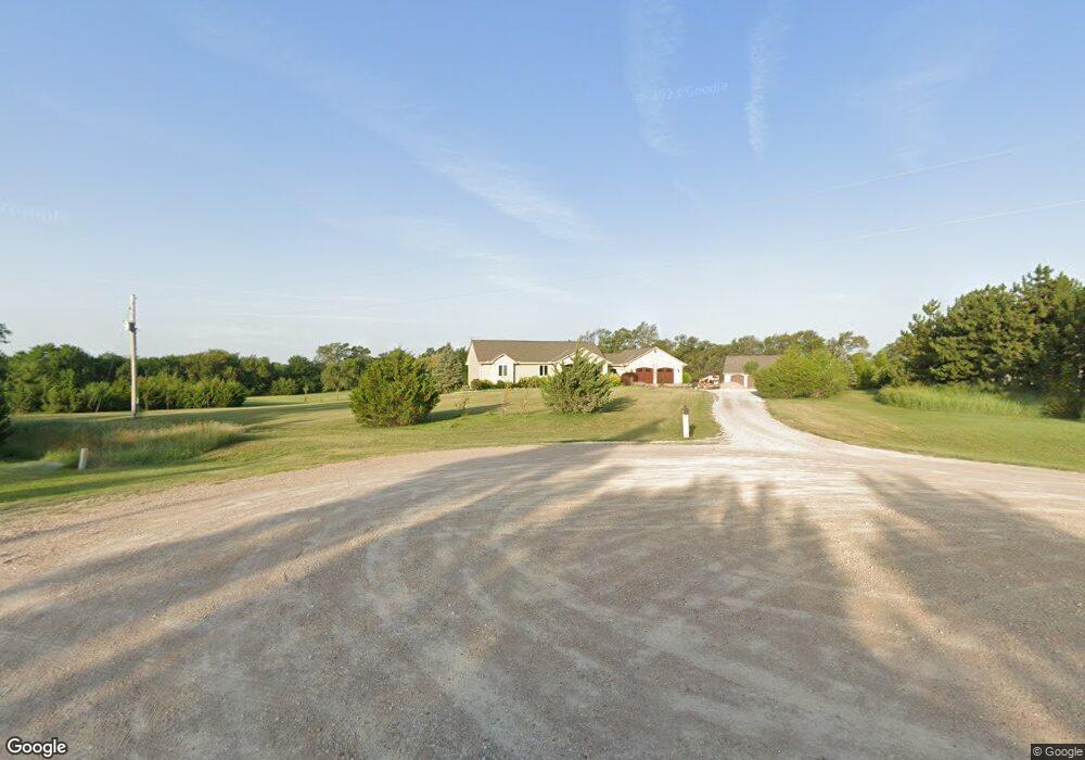
201 N 189th Cir W Goddard, KS 67052
Estimated Value: $538,000 - $653,076
2
Beds
3
Baths
2,054
Sq Ft
$290/Sq Ft
Est. Value
About This Home
This home is located at 201 N 189th Cir W, Goddard, KS 67052 and is currently estimated at $595,538, approximately $289 per square foot. 201 N 189th Cir W is a home located in Sedgwick County with nearby schools including Oak Street Elementary School, Discovery Intermediate School, and Dwight D. Eisenhower Middle School.
Ownership History
Date
Name
Owned For
Owner Type
Purchase Details
Closed on
Jul 10, 2017
Sold by
Betts Craig C and Betts Cindy J
Bought by
Betts Craig C
Current Estimated Value
Purchase Details
Closed on
Feb 9, 2011
Sold by
Betts Craig C and Betts Cindy
Bought by
Betts Craig C and Betts Cindy
Home Financials for this Owner
Home Financials are based on the most recent Mortgage that was taken out on this home.
Original Mortgage
$328,000
Interest Rate
4.79%
Mortgage Type
New Conventional
Create a Home Valuation Report for This Property
The Home Valuation Report is an in-depth analysis detailing your home's value as well as a comparison with similar homes in the area
Home Values in the Area
Average Home Value in this Area
Purchase History
| Date | Buyer | Sale Price | Title Company |
|---|---|---|---|
| Betts Craig C | -- | None Available | |
| Betts Craig C | -- | Stewart Title Of Wichita |
Source: Public Records
Mortgage History
| Date | Status | Borrower | Loan Amount |
|---|---|---|---|
| Closed | Betts Craig C | $328,000 |
Source: Public Records
Tax History Compared to Growth
Tax History
| Year | Tax Paid | Tax Assessment Tax Assessment Total Assessment is a certain percentage of the fair market value that is determined by local assessors to be the total taxable value of land and additions on the property. | Land | Improvement |
|---|---|---|---|---|
| 2025 | $6,605 | $62,186 | $7,533 | $54,653 |
| 2023 | $6,605 | $51,389 | $7,372 | $44,017 |
| 2022 | $5,716 | $51,389 | $6,958 | $44,431 |
| 2021 | $5,377 | $48,889 | $5,773 | $43,116 |
| 2020 | $5,464 | $48,889 | $5,773 | $43,116 |
| 2019 | $4,789 | $42,539 | $5,463 | $37,076 |
| 2018 | $4,815 | $41,989 | $6,268 | $35,721 |
| 2017 | $3,789 | $0 | $0 | $0 |
| 2016 | $3,608 | $0 | $0 | $0 |
| 2015 | $3,703 | $0 | $0 | $0 |
| 2014 | $3,735 | $0 | $0 | $0 |
Source: Public Records
Map
Nearby Homes
- 3 Timothy Ln
- 19966 W Pine St
- 2123 E Elk Ridge Ave
- 2412 E Elk Ridge Ave
- 2156 E Elk Ridge Ave
- 2134 E Elk Ridge Ave
- 2144 E Elk Ridge Ave
- 2158 E Elk Ridge Ave
- 2152 E Elk Ridge Ave
- 2424 E Elk Ridge Ave
- 2121 E Elk Ridge Ave
- 2140 E Elk Ridge Ave
- 2150 E Elk Ridge Ave
- 2146 E Elk Ridge Ave
- 16697 W Hickory St
- 19865 W Hickory St
- 1705 N Mcrae Ct
- 113 N Ciderbluff Ct
- 1733 N Mcrae Ct
- 148 N Gowen St
- 301 N 189th Cir W
- 200 N 189th Cir W
- 300 N 189th Cir W
- 401 N 189th Cir W
- 400 N 189th Cir W
- 18900 W 2nd Cir N
- 19100 W 2nd Cir N
- 18805 W Central St
- 18701 W Central St
- 501 N Springwood St
- 19210 W Central St
- 18800 W 2nd Cir N
- 18699 W Central St
- 201 N 183rd St W
- 506 N Springwood Ct
- 19527 Timothy Ln
- 515 N Springwood St
- 18600 W 2nd Cir N
- 18625 W Central St
- 21 Tonjo Ct