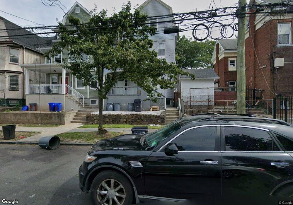
201 N 9th St Newark, NJ 07107
Lower Roseville NeighborhoodEstimated Value: $537,000 - $596,000
3
Beds
1
Bath
2,228
Sq Ft
$254/Sq Ft
Est. Value
About This Home
This home is located at 201 N 9th St, Newark, NJ 07107 and is currently estimated at $566,678, approximately $254 per square foot. 201 N 9th St is a home located in Essex County with nearby schools including Dr. William H. Horton School, First Avenue Elementary School, and Franklin School.
Ownership History
Date
Name
Owned For
Owner Type
Purchase Details
Closed on
Sep 13, 2019
Sold by
Solo Real Estate Holdings
Bought by
Edwards Jarrod
Current Estimated Value
Home Financials for this Owner
Home Financials are based on the most recent Mortgage that was taken out on this home.
Original Mortgage
$299,475
Outstanding Balance
$262,317
Interest Rate
3.6%
Mortgage Type
FHA
Estimated Equity
$304,361
Purchase Details
Closed on
Jan 11, 2018
Sold by
Ns 161 Llc
Bought by
Solo Real State Hldg Llc
Purchase Details
Closed on
May 31, 1983
Bought by
Williamson Freddie and Williamson Helen
Create a Home Valuation Report for This Property
The Home Valuation Report is an in-depth analysis detailing your home's value as well as a comparison with similar homes in the area
Home Values in the Area
Average Home Value in this Area
Purchase History
| Date | Buyer | Sale Price | Title Company |
|---|---|---|---|
| Edwards Jarrod | $305,000 | Foundation Title | |
| Solo Real State Hldg Llc | $130,000 | -- | |
| Williamson Freddie | $20,000 | -- |
Source: Public Records
Mortgage History
| Date | Status | Borrower | Loan Amount |
|---|---|---|---|
| Open | Edwards Jarrod | $299,475 |
Source: Public Records
Tax History Compared to Growth
Tax History
| Year | Tax Paid | Tax Assessment Tax Assessment Total Assessment is a certain percentage of the fair market value that is determined by local assessors to be the total taxable value of land and additions on the property. | Land | Improvement |
|---|---|---|---|---|
| 2025 | $8,675 | $232,700 | $27,500 | $205,200 |
| 2024 | $8,675 | $232,700 | $27,500 | $205,200 |
| 2022 | $8,694 | $232,700 | $27,500 | $205,200 |
| 2021 | $8,689 | $232,700 | $27,500 | $205,200 |
| 2020 | $8,843 | $232,700 | $27,500 | $205,200 |
| 2019 | $5,359 | $142,500 | $27,500 | $115,000 |
| 2018 | $5,263 | $142,500 | $27,500 | $115,000 |
| 2017 | $5,073 | $142,500 | $27,500 | $115,000 |
| 2016 | $4,902 | $142,500 | $27,500 | $115,000 |
| 2015 | $4,715 | $142,500 | $27,500 | $115,000 |
| 2014 | $4,419 | $142,500 | $27,500 | $115,000 |
Source: Public Records
Map
Nearby Homes
- 226 N 9th St
- 166 N 9th St Unit 3
- 352 N 7th St
- 372 N 7th St
- 382-384 N 7th St
- 318 N 7th St
- 323 N 7th St
- 362 N 6th St
- 118 N 9th St Unit 120
- 118-120 N 9th St
- 349 N 5th St
- 347 N 5th St Unit 349
- 457 N 7th St
- 176 N 16th St
- 162 N 14th St Unit 3
- 248 N 7th St Unit 248
- 158 N 15th St
- 118 N 13th St
- 116 N 13th St
- 58 Park Ave
- 203 N 9th St
- 205 N 9th St
- 429 4th Ave W
- 425 4th Ave W Unit 427
- 431 4th Ave W
- 423 4th Ave W
- 207 N 9th St Unit 209
- 419 4th Ave W Unit 421
- 211 N 9th St
- 433 4th Ave W
- 213 N 9th St
- 435 4th Ave W
- 215 N 9th St
- 202 N 9th St
- 204 N 9th St
- 206 N 9th St
- 437 4th Ave W
- 191 N 9th St
- 191 N 9th St Unit 1
- 210 N 9th St