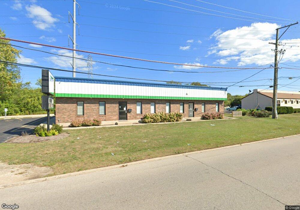
201 N Green Bay Rd Waukegan, IL 60085
Washington Hills NeighborhoodEstimated Value: $507,832
--
Bed
--
Bath
--
Sq Ft
0.35
Acres
About This Home
This home is located at 201 N Green Bay Rd, Waukegan, IL 60085 and is currently estimated at $507,832. 201 N Green Bay Rd is a home located in Lake County with nearby schools including Glenwood Elementary School, Robert E. Abbott Middle School, and Waukegan High School.
Ownership History
Date
Name
Owned For
Owner Type
Purchase Details
Closed on
Aug 30, 2017
Sold by
Rominski Joseph
Bought by
Netgar Investments Inc
Current Estimated Value
Home Financials for this Owner
Home Financials are based on the most recent Mortgage that was taken out on this home.
Original Mortgage
$216,000
Outstanding Balance
$179,986
Interest Rate
3.82%
Mortgage Type
Commercial
Estimated Equity
$327,846
Create a Home Valuation Report for This Property
The Home Valuation Report is an in-depth analysis detailing your home's value as well as a comparison with similar homes in the area
Home Values in the Area
Average Home Value in this Area
Purchase History
| Date | Buyer | Sale Price | Title Company |
|---|---|---|---|
| Netgar Investments Inc | $240,000 | Attorneys Title Guaranty Fun |
Source: Public Records
Mortgage History
| Date | Status | Borrower | Loan Amount |
|---|---|---|---|
| Open | Netgar Investments Inc | $216,000 |
Source: Public Records
Tax History Compared to Growth
Tax History
| Year | Tax Paid | Tax Assessment Tax Assessment Total Assessment is a certain percentage of the fair market value that is determined by local assessors to be the total taxable value of land and additions on the property. | Land | Improvement |
|---|---|---|---|---|
| 2024 | $9,229 | $101,966 | $24,068 | $77,898 |
| 2023 | $8,798 | $97,496 | $23,013 | $74,483 |
| 2022 | $8,798 | $89,629 | $21,917 | $67,712 |
| 2021 | $9,299 | $88,847 | $21,726 | $67,121 |
| 2020 | $9,418 | $82,771 | $20,240 | $62,531 |
| 2019 | $9,479 | $75,847 | $18,547 | $57,300 |
| 2018 | $9,045 | $74,801 | $18,292 | $56,509 |
| 2017 | $8,125 | $56,867 | $16,184 | $40,683 |
| 2016 | $7,672 | $49,415 | $14,063 | $35,352 |
| 2015 | $7,471 | $44,228 | $12,587 | $31,641 |
| 2014 | $7,577 | $44,788 | $12,746 | $32,042 |
| 2012 | $8,838 | $48,522 | $13,808 | $34,714 |
Source: Public Records
Map
Nearby Homes
- 3170 W Monroe St Unit 309
- 102 Baldwin Ave
- 24 Washington Terrace
- 34887 N Austin Ave
- 603 N Austin Ave
- 621 N Austin Ave
- 525 Lawrence Ave
- 0 Brookside Ave
- 3482 Ellis Ave
- 12698 W Grandview Ave
- 12716 W Grandview Ave
- 3210 W Grandview Ave
- 2726 W Hidden Glen Dr
- 615 Tiffany Dr
- 3503 Elaine Ave
- 963 Belle Plaine Ave
- 35400 N Green Bay Rd
- 12601 W Atlantic Ave
- 2116 & 2101 Williamsburg Dr
- 3027 Belvidere Rd
- 207 Pigeon Ave
- 123 Pigeon Ave
- 203 Public Service Rd
- 201 Public Service Rd
- 119 Pigeon Ave
- 206 N Green Bay Rd
- 207 Public Service Rd
- 207 Public Service Rd
- 2911 W Monroe St
- 0 W Spaulding Ave
- 200 N Green Bay Rd
- 2928 Spaulding Ave
- 117 Pigeon Ave
- 3201 Brookside Ave
- 311 Public Service Rd
- 2909 W Monroe St
- 2914 W Monroe St
- 315 Public Service Rd
- 319 Public Service Rd
- 2917 Spaulding Ave