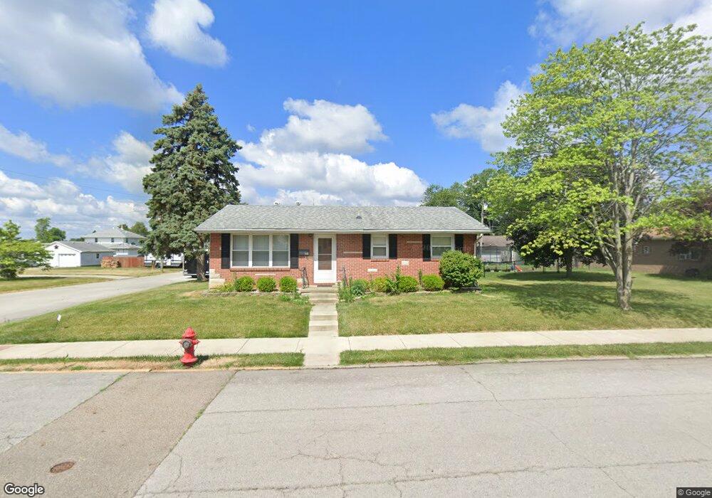
201 N Ludlow St Covington, OH 45318
Estimated Value: $147,000 - $170,021
3
Beds
1
Bath
912
Sq Ft
$177/Sq Ft
Est. Value
About This Home
This home is located at 201 N Ludlow St, Covington, OH 45318 and is currently estimated at $161,755, approximately $177 per square foot. 201 N Ludlow St is a home located in Miami County with nearby schools including Covington Elementary/Junior High School, Covington Junior High School, and Covington High School.
Ownership History
Date
Name
Owned For
Owner Type
Purchase Details
Closed on
Feb 8, 2016
Sold by
Beeman Siler J and Grubb September J
Bought by
Village Of Covington
Current Estimated Value
Purchase Details
Closed on
Dec 7, 2001
Sold by
Beeman John E and Beeman Phyllis J
Bought by
Beeman John E and Beeman Phyllis J
Purchase Details
Closed on
Jan 1, 1990
Bought by
Beeman John E
Create a Home Valuation Report for This Property
The Home Valuation Report is an in-depth analysis detailing your home's value as well as a comparison with similar homes in the area
Home Values in the Area
Average Home Value in this Area
Purchase History
| Date | Buyer | Sale Price | Title Company |
|---|---|---|---|
| Village Of Covington | $1,761 | None Available | |
| Beeman John E | -- | -- | |
| Beeman John E | -- | -- |
Source: Public Records
Tax History Compared to Growth
Tax History
| Year | Tax Paid | Tax Assessment Tax Assessment Total Assessment is a certain percentage of the fair market value that is determined by local assessors to be the total taxable value of land and additions on the property. | Land | Improvement |
|---|---|---|---|---|
| 2024 | $1,545 | $41,240 | $11,240 | $30,000 |
| 2023 | $1,545 | $41,240 | $11,240 | $30,000 |
| 2022 | $1,541 | $41,240 | $11,240 | $30,000 |
| 2021 | $1,279 | $31,720 | $8,650 | $23,070 |
| 2020 | $1,282 | $31,720 | $8,650 | $23,070 |
| 2019 | $1,288 | $31,720 | $8,650 | $23,070 |
| 2018 | $1,150 | $28,250 | $6,720 | $21,530 |
| 2017 | $1,170 | $28,250 | $6,720 | $21,530 |
| 2016 | $1,155 | $28,250 | $6,720 | $21,530 |
| 2015 | $737 | $27,310 | $6,620 | $20,690 |
| 2014 | $737 | $27,310 | $6,620 | $20,690 |
| 2013 | $710 | $27,310 | $6,620 | $20,690 |
Source: Public Records
Map
Nearby Homes
- 271 N Ludlow St
- 698 E Broadway St
- 00 W Piqua Clay Rd
- 223 Henry Ct
- 124 N Main St
- 133 W Broadway St
- 520 N Pearl St
- 221 S High St
- 501 N Main St Unit C1
- 536 S High St
- 731 N Pearl St
- 210 Charles Ct
- 212 Charles Ct
- 206 Charles Ct
- 204 Charles Ct
- 208 Charles Ct
- 205 Charles Ct
- 207 Charles Ct
- 203 Charles Ct
- 202 Charles Ct
- 251 N Ludlow St
- 105 N Ludlow St
- 204 N Grant St
- 210 N Grant St
- 286 N Ludlow St
- 288 N Ludlow St
- 120 N Grant St
- 284 N Ludlow St
- 290 N Ludlow St
- 116 N Grant St
- 222 N Grant St
- 114 N Ludlow St
- 294 N Ludlow St
- 108 N Ludlow St
- 119 N Wenrick St
- 298 N Ludlow St
- 301 N Ludlow St
- 121 N Wenrick St
- 201 N Grant St
- 115 N Wenrick St