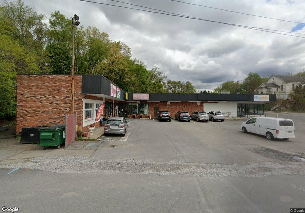
201 N Main St Old Forge, PA 18518
Estimated Value: $681,413
--
Bed
1
Bath
1,000
Sq Ft
$681/Sq Ft
Est. Value
About This Home
This home is located at 201 N Main St, Old Forge, PA 18518 and is currently estimated at $681,413, approximately $681 per square foot. 201 N Main St is a home located in Lackawanna County with nearby schools including Old Forge Elementary School, Old Forge Junior/Senior High School, and Triboro Christian Academy.
Ownership History
Date
Name
Owned For
Owner Type
Purchase Details
Closed on
Mar 15, 2023
Sold by
Old Forge Partners Lp
Bought by
201 N Main Street Olf Llc
Current Estimated Value
Purchase Details
Closed on
Aug 21, 2013
Sold by
Koroneos Steve and Koroneos Vasiliki
Bought by
Old Forge Partners Lp
Home Financials for this Owner
Home Financials are based on the most recent Mortgage that was taken out on this home.
Original Mortgage
$560,000
Interest Rate
4.42%
Mortgage Type
Commercial
Create a Home Valuation Report for This Property
The Home Valuation Report is an in-depth analysis detailing your home's value as well as a comparison with similar homes in the area
Home Values in the Area
Average Home Value in this Area
Purchase History
| Date | Buyer | Sale Price | Title Company |
|---|---|---|---|
| 201 N Main Street Olf Llc | $575,000 | North East Title Agency Llc | |
| Old Forge Partners Lp | $700,000 | None Available |
Source: Public Records
Mortgage History
| Date | Status | Borrower | Loan Amount |
|---|---|---|---|
| Previous Owner | Old Forge Partners Lp | $560,000 |
Source: Public Records
Tax History Compared to Growth
Tax History
| Year | Tax Paid | Tax Assessment Tax Assessment Total Assessment is a certain percentage of the fair market value that is determined by local assessors to be the total taxable value of land and additions on the property. | Land | Improvement |
|---|---|---|---|---|
| 2025 | $12,968 | $50,000 | $5,000 | $45,000 |
| 2024 | $11,565 | $50,000 | $5,000 | $45,000 |
| 2023 | $11,565 | $50,000 | $5,000 | $45,000 |
| 2022 | $11,176 | $50,000 | $5,000 | $45,000 |
| 2021 | $10,871 | $50,000 | $5,000 | $45,000 |
| 2020 | $10,746 | $50,000 | $5,000 | $45,000 |
| 2019 | $10,296 | $50,000 | $5,000 | $45,000 |
| 2018 | $10,196 | $50,000 | $5,000 | $45,000 |
| 2017 | $10,196 | $50,000 | $5,000 | $45,000 |
| 2016 | $6,312 | $50,000 | $5,000 | $45,000 |
| 2015 | -- | $50,000 | $5,000 | $45,000 |
| 2014 | -- | $50,000 | $5,000 | $45,000 |
Source: Public Records
Map
Nearby Homes
- 207 N Main St
- 105 Powell St Unit 107
- 100 Powell St Unit BLK
- 106 Powell St
- 106 Upper Powell St Unit 2
- 120 Powell St
- 187 N Main St
- 106 Corcoran St
- 188 N Main St
- 185 N Main St
- 212 N Main St
- 110 Powell St
- 186 N Main St
- 286 Sampson St
- 181 N Main St Unit 183
- 174 Stewart St
- 172 Stewart St
- 213 N Main St
- 201 Sampson St
- 179 N Main St