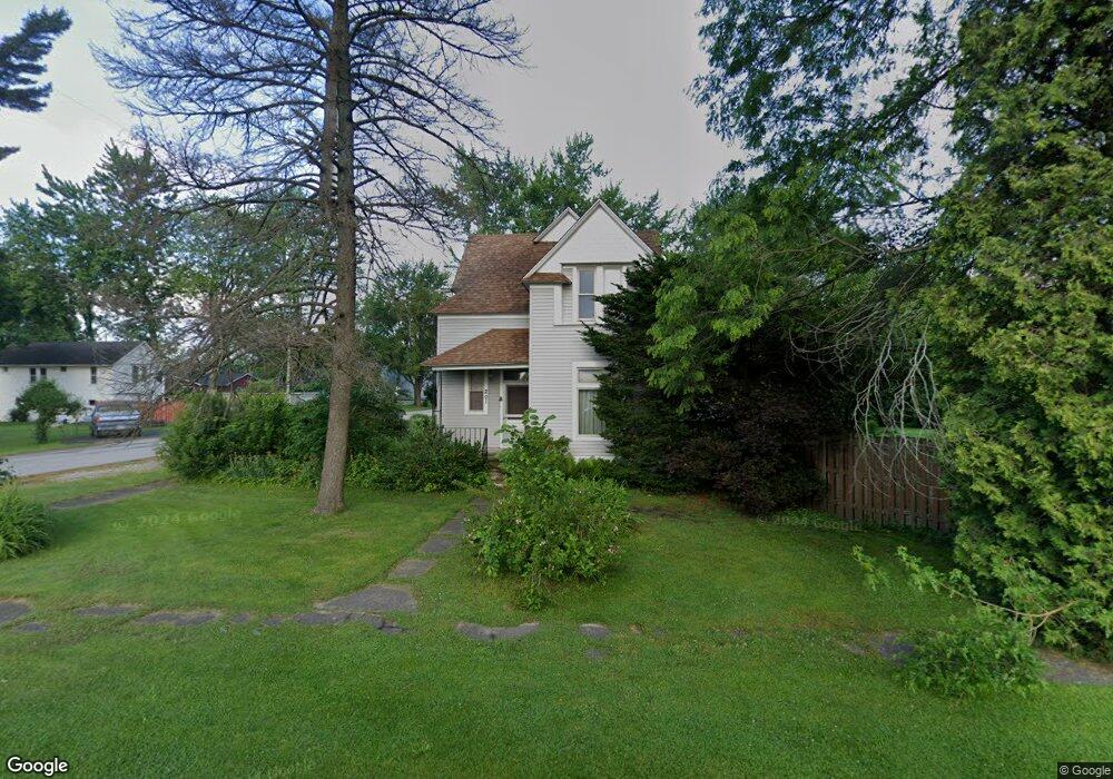
201 N Main St Wanatah, IN 46390
Estimated Value: $192,000 - $253,000
3
Beds
1
Bath
1,598
Sq Ft
$135/Sq Ft
Est. Value
About This Home
This home is located at 201 N Main St, Wanatah, IN 46390 and is currently estimated at $215,421, approximately $134 per square foot. 201 N Main St is a home located in LaPorte County.
Ownership History
Date
Name
Owned For
Owner Type
Purchase Details
Closed on
Nov 2, 2005
Sold by
Kietzman Thomas D and Kietzman Tanya M
Bought by
Dunstan Paul A
Current Estimated Value
Home Financials for this Owner
Home Financials are based on the most recent Mortgage that was taken out on this home.
Original Mortgage
$117,841
Outstanding Balance
$63,974
Interest Rate
5.89%
Mortgage Type
Unknown
Estimated Equity
$151,447
Create a Home Valuation Report for This Property
The Home Valuation Report is an in-depth analysis detailing your home's value as well as a comparison with similar homes in the area
Home Values in the Area
Average Home Value in this Area
Purchase History
| Date | Buyer | Sale Price | Title Company |
|---|---|---|---|
| Dunstan Paul A | -- | Meridian Title Corp |
Source: Public Records
Mortgage History
| Date | Status | Borrower | Loan Amount |
|---|---|---|---|
| Open | Dunstan Paul A | $117,841 |
Source: Public Records
Tax History Compared to Growth
Tax History
| Year | Tax Paid | Tax Assessment Tax Assessment Total Assessment is a certain percentage of the fair market value that is determined by local assessors to be the total taxable value of land and additions on the property. | Land | Improvement |
|---|---|---|---|---|
| 2024 | $951 | $121,200 | $15,800 | $105,400 |
| 2023 | $944 | $112,000 | $13,200 | $98,800 |
| 2022 | $1,026 | $115,000 | $13,200 | $101,800 |
| 2021 | $945 | $108,900 | $10,600 | $98,300 |
| 2020 | $978 | $108,900 | $10,600 | $98,300 |
| 2019 | $895 | $109,000 | $10,600 | $98,400 |
| 2018 | $251 | $11,200 | $11,200 | $0 |
| 2017 | $240 | $11,200 | $11,200 | $0 |
| 2016 | $225 | $11,200 | $11,200 | $0 |
| 2014 | $226 | $11,200 | $11,200 | $0 |
Source: Public Records
Map
Nearby Homes
- 104 W Cross St
- 207 N Washington St
- 116 Sprunger Dr
- 9237 W 1100 S
- 421 Amy Rose Ln
- 87 Kaper Ln
- 213 N 450 E
- 372 Radcliff Dr
- 13956 S 550 W
- 0 Porters Vale Blvd Unit GNR544918
- 0 St Road 2 Unit GNR544911
- 168 Jamestown Ave
- 456 E 400 S
- 323 E 124 S
- 0 Parcel A 325 E
- 0 Parcel B 325 E
- 355 E 300 S
- 11 W West St
- 435 E State Road 2
- 114 E Jersey St