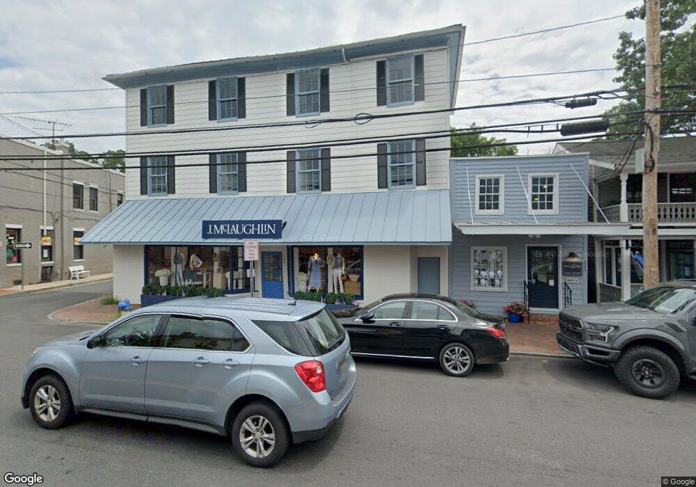
201 N Talbot St Unit GROUND FLOOR Saint Michaels, MD 21663
--
Bed
--
Bath
4,685
Sq Ft
2,091
Sq Ft Lot
About This Home
This home is located at 201 N Talbot St Unit GROUND FLOOR, Saint Michaels, MD 21663. 201 N Talbot St Unit GROUND FLOOR is a home located in Talbot County with nearby schools including St. Michaels Elementary School, St. Michaels Middle/High School, and Easton High School.
Ownership History
Date
Name
Owned For
Owner Type
Purchase Details
Closed on
Jul 27, 2023
Sold by
Thomas Kathy Louise
Bought by
Harrison Charles F and Merrick Cooper Price Llc
Purchase Details
Closed on
May 1, 2002
Sold by
Furman E F E and Furman Martha J
Bought by
201 Talbot Street Llc
Purchase Details
Closed on
Jun 30, 1981
Sold by
Bell Bell R and Bell Evelyn S
Bought by
Furman Furman E and Furman Martha J
Home Financials for this Owner
Home Financials are based on the most recent Mortgage that was taken out on this home.
Original Mortgage
$60,000
Interest Rate
16.62%
Create a Home Valuation Report for This Property
The Home Valuation Report is an in-depth analysis detailing your home's value as well as a comparison with similar homes in the area
Home Values in the Area
Average Home Value in this Area
Purchase History
| Date | Buyer | Sale Price | Title Company |
|---|---|---|---|
| Harrison Charles F | $8,000 | None Listed On Document | |
| 201 Talbot Street Llc | -- | -- | |
| Furman Furman E | $75,000 | -- |
Source: Public Records
Mortgage History
| Date | Status | Borrower | Loan Amount |
|---|---|---|---|
| Previous Owner | Furman Furman E | $60,000 |
Source: Public Records
Tax History Compared to Growth
Tax History
| Year | Tax Paid | Tax Assessment Tax Assessment Total Assessment is a certain percentage of the fair market value that is determined by local assessors to be the total taxable value of land and additions on the property. | Land | Improvement |
|---|---|---|---|---|
| 2025 | $6,629 | $568,700 | $337,900 | $230,800 |
| 2024 | $6,629 | $536,900 | $0 | $0 |
| 2023 | $5,999 | $505,100 | $0 | $0 |
| 2022 | $5,427 | $473,300 | $324,400 | $148,900 |
| 2021 | $5,219 | $466,367 | $0 | $0 |
| 2020 | $5,219 | $459,433 | $0 | $0 |
| 2019 | $5,140 | $452,500 | $324,400 | $128,100 |
| 2018 | $4,910 | $440,300 | $0 | $0 |
| 2017 | $4,623 | $428,100 | $0 | $0 |
| 2016 | $4,003 | $415,900 | $0 | $0 |
| 2015 | $4,369 | $415,900 | $0 | $0 |
| 2014 | $4,369 | $415,900 | $0 | $0 |
Source: Public Records
Map
Nearby Homes
- 100 Grace St
- 102 Gloria Ave
- 107 E Chestnut St
- 207 Dodson Ave
- 408 Spinnaker Ln
- 222 E Chestnut St
- 209 Webb Ln
- 0 Grace St Unit MDTA2012346
- 300 Perry St
- 25500 Chance Farm Rd
- 216 E Chew Ave
- 216 Brooks Ln
- 704 Meadow St
- Lot 16A Meadow St
- 105 Seymour Ave
- 807 Radcliff Ave
- 912 Calvert Ave
- 228 Tyler Ave
- 24390 Oakwood Park Rd
- 9171 Deepwater Point Rd
- 201 N Talbot St
- 203 S Talbot St
- 100 Carpenter St
- 205 N Talbot St
- 102 Carpenter St
- 207 S Talbot St
- 111 N Talbot St
- 209 N Talbot St
- 209 S Talbot St
- 104 Carpenter St
- 200 N Talbot St
- 208 N Talbot St
- 213 S Talbot St
- 109 S Talbot St
- 202 S Talbot St
- 213 N Talbot St
- 205 S Talbot St
- 114 S Talbot St
- 105 S Talbot St
- 105 Carpenter St