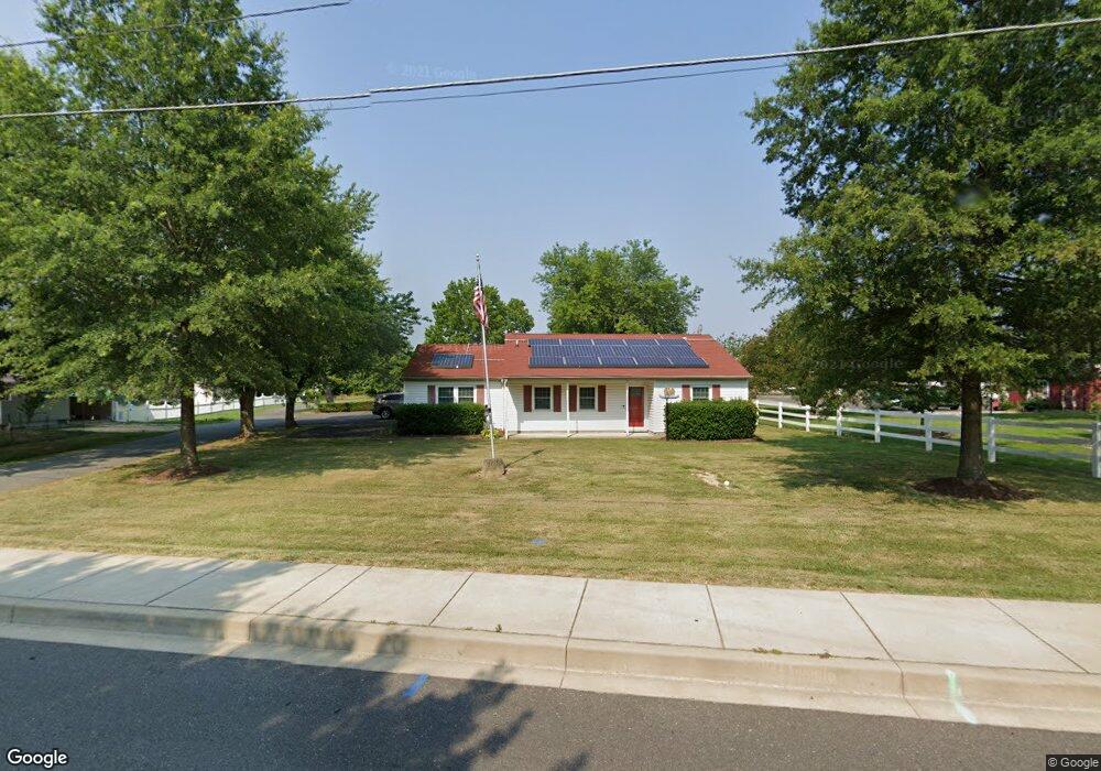
201 Oak Ave La Plata, MD 20646
Estimated Value: $363,913 - $451,000
Studio
2
Baths
1,496
Sq Ft
$268/Sq Ft
Est. Value
About This Home
This home is located at 201 Oak Ave, La Plata, MD 20646 and is currently estimated at $401,638, approximately $268 per square foot. 201 Oak Ave is a home located in Charles County with nearby schools including Walter J. Mitchell Elementary School, Milton M. Somers Middle School, and La Plata High School.
Ownership History
Date
Name
Owned For
Owner Type
Purchase Details
Closed on
Apr 16, 2019
Sold by
Boyce Robert H and Boyce Vicky D
Bought by
Boyce Robert D and Spaulding Mitzie L
Current Estimated Value
Purchase Details
Closed on
Jun 19, 1991
Sold by
Scott George M and Scott Mary A
Bought by
Boyce Robert H and Boyce Vicky D
Home Financials for this Owner
Home Financials are based on the most recent Mortgage that was taken out on this home.
Original Mortgage
$109,600
Interest Rate
9.66%
Purchase Details
Closed on
Apr 1, 1986
Sold by
Sexton Willard O and Sexton Rita J
Bought by
Scott George M and Scott Mary A
Create a Home Valuation Report for This Property
The Home Valuation Report is an in-depth analysis detailing your home's value as well as a comparison with similar homes in the area
Home Values in the Area
Average Home Value in this Area
Purchase History
| Date | Buyer | Sale Price | Title Company |
|---|---|---|---|
| Boyce Robert D | -- | None Available | |
| Boyce Robert H | $137,000 | -- | |
| Scott George M | $20,000 | -- |
Source: Public Records
Mortgage History
| Date | Status | Borrower | Loan Amount |
|---|---|---|---|
| Closed | Boyce Robert H | $109,600 |
Source: Public Records
Tax History
| Year | Tax Paid | Tax Assessment Tax Assessment Total Assessment is a certain percentage of the fair market value that is determined by local assessors to be the total taxable value of land and additions on the property. | Land | Improvement |
|---|---|---|---|---|
| 2025 | -- | $316,333 | -- | -- |
| 2024 | $29 | $304,067 | $0 | $0 |
| 2023 | $5,104 | $291,800 | $100,500 | $191,300 |
| 2022 | $21 | $277,100 | $0 | $0 |
| 2021 | $19 | $262,400 | $0 | $0 |
| 2020 | $19 | $247,700 | $100,500 | $147,200 |
| 2019 | $182 | $247,700 | $100,500 | $147,200 |
| 2018 | $3,737 | $247,700 | $100,500 | $147,200 |
| 2017 | $3,793 | $250,100 | $0 | $0 |
| 2016 | -- | $244,233 | $0 | $0 |
| 2015 | $3,708 | $238,367 | $0 | $0 |
| 2014 | $3,708 | $232,500 | $0 | $0 |
Source: Public Records
Map
Nearby Homes
- 9 Candleberry Dr
- 13 Candleberry Dr
- 305 Centennial St Unit K
- 303 Charles St
- 12 Willow Woods Dr
- 50 Hibiscus Ct
- 107 Howard St
- 105 Hibiscus Ct
- 455 Patuxent Ct
- 82 Little Creek Ln
- 214B Washington Ave
- 0 Glen Albin Rd Unit 1002259446
- 0 Crain Hwy Unit MDCH2038304
- 505 Washington Ave
- 113 Burning Bush Place
- 907 Hickory Cir
- 203 Port Tobacco Rd
- 9665 Docs Place
- 6 Gramby Ct
- 915 Hickory Cir
Your Personal Tour Guide
Ask me questions while you tour the home.