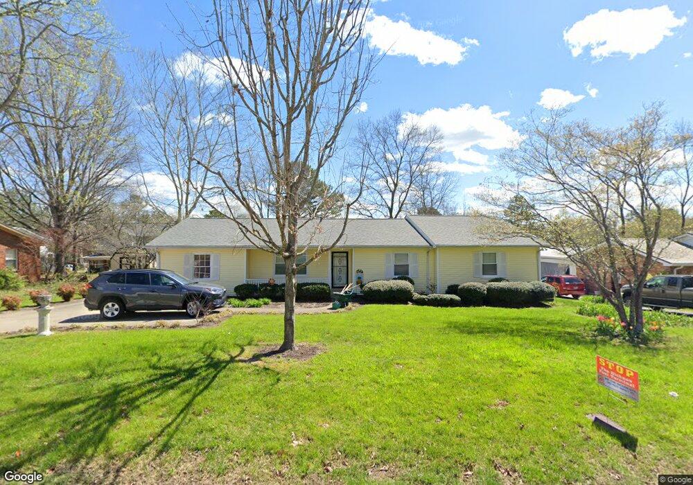
201 Oak Dr Dickson, TN 37055
Estimated Value: $291,000 - $434,000
Studio
2
Baths
2,197
Sq Ft
$174/Sq Ft
Est. Value
About This Home
This home is located at 201 Oak Dr, Dickson, TN 37055 and is currently estimated at $381,654, approximately $173 per square foot. 201 Oak Dr is a home located in Dickson County with nearby schools including Centennial Elementary School, Dickson Middle School, and Dickson County High School.
Ownership History
Date
Name
Owned For
Owner Type
Purchase Details
Closed on
Jun 26, 2025
Sold by
Cooper Lisa E
Bought by
Lisa E Cooper Revocable Living Trust and Cooper
Current Estimated Value
Purchase Details
Closed on
Jul 5, 1991
Bought by
Cooper Lisa E
Purchase Details
Closed on
Apr 20, 1990
Bought by
Early Granville E and Jo Ann B
Purchase Details
Closed on
Aug 30, 1977
Bought by
Early Anne M
Purchase Details
Closed on
Jan 1, 1977
Purchase Details
Closed on
Jan 1, 1975
Create a Home Valuation Report for This Property
The Home Valuation Report is an in-depth analysis detailing your home's value as well as a comparison with similar homes in the area
Home Values in the Area
Average Home Value in this Area
Purchase History
| Date | Buyer | Sale Price | Title Company |
|---|---|---|---|
| Lisa E Cooper Revocable Living Trust | -- | None Listed On Document | |
| Cooper Lisa E | $29,000 | -- | |
| Early Granville E | $35,000 | -- | |
| Early Anne M | -- | -- | |
| -- | $20,000 | -- | |
| -- | $2,500 | -- |
Source: Public Records
Tax History
| Year | Tax Paid | Tax Assessment Tax Assessment Total Assessment is a certain percentage of the fair market value that is determined by local assessors to be the total taxable value of land and additions on the property. | Land | Improvement |
|---|---|---|---|---|
| 2025 | -- | $76,450 | $17,475 | $58,975 |
| 2024 | $0 | $76,450 | $17,475 | $58,975 |
| 2023 | $1,603 | $51,300 | $7,025 | $44,275 |
| 2022 | $1,603 | $51,300 | $7,025 | $44,275 |
| 2021 | $1,603 | $51,300 | $7,025 | $44,275 |
| 2020 | $1,603 | $51,300 | $7,025 | $44,275 |
| 2019 | $1,603 | $51,300 | $7,025 | $44,275 |
| 2018 | $1,391 | $38,125 | $4,550 | $33,575 |
| 2017 | $1,391 | $38,125 | $4,550 | $33,575 |
| 2016 | $1,391 | $38,125 | $4,550 | $33,575 |
| 2015 | $1,275 | $32,875 | $4,550 | $28,325 |
| 2014 | $1,275 | $32,875 | $4,550 | $28,325 |
Source: Public Records
Map
Nearby Homes
- 213 Mccreary Heights
- 110 Mccreary Heights
- 414 W College St
- 0 Country Club Dr Unit RTC3118750
- 909 W 1st St
- 701 W 5th St
- 0 Hardin Ave
- 202 W College St Unit 4
- 210 Hardin Ave
- 404 Masters Way
- 500 Country Club Dr
- 307 Masters Way
- 122 Pond Rd
- 500 Church St
- 0 Tucker Rd Unit RTC3051077
- 0 W First St
- 534 Country Club Dr
- 0 W Walnut St
- 2 Old Pond Ln
- 4 Old Pond Ln
Your Personal Tour Guide
Ask me questions while you tour the home.