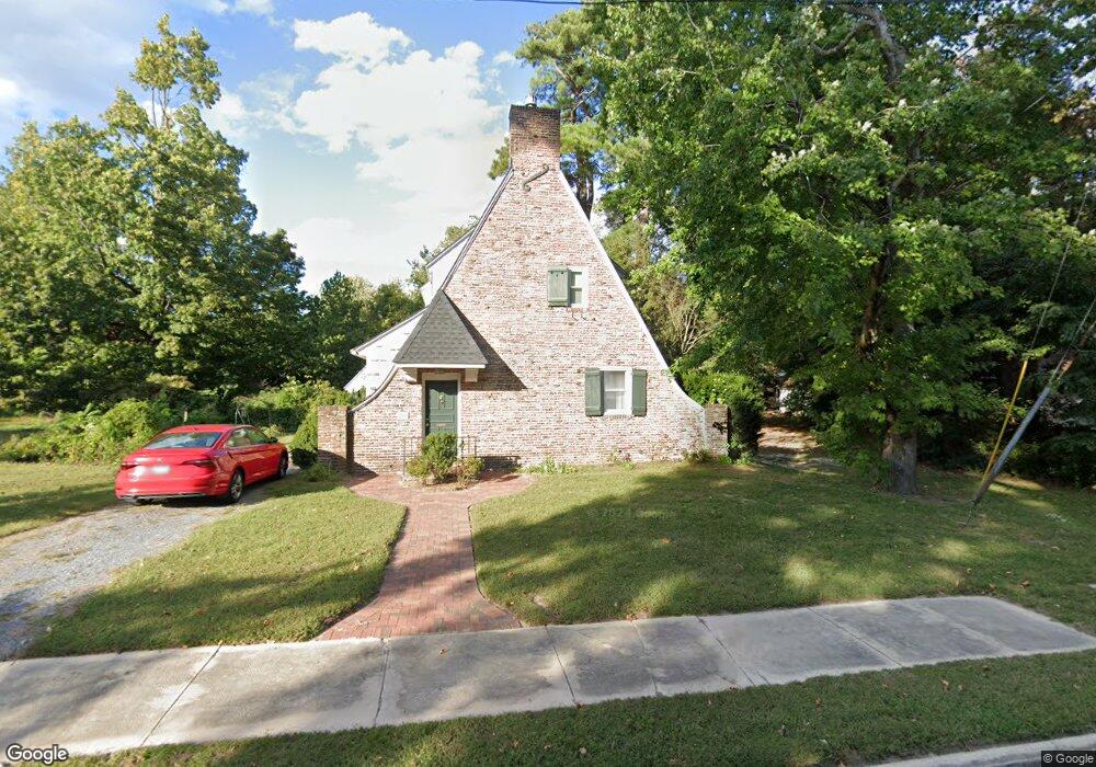
201 Oakdale Rd Unit 1 Salisbury, MD 21801
Newtown-North Division NeighborhoodEstimated Value: $190,962 - $266,000
--
Bed
2
Baths
1,477
Sq Ft
$159/Sq Ft
Est. Value
About This Home
This home is located at 201 Oakdale Rd Unit 1, Salisbury, MD 21801 and is currently estimated at $234,491, approximately $158 per square foot. 201 Oakdale Rd Unit 1 is a home located in Wicomico County with nearby schools including West Salisbury Elementary School, North Salisbury Elementary School, and Salisbury Middle School.
Ownership History
Date
Name
Owned For
Owner Type
Purchase Details
Closed on
Jul 18, 1993
Sold by
Hughes James and Hughes Kim
Bought by
Holland Mark A and Holland Catherine G
Current Estimated Value
Purchase Details
Closed on
Dec 11, 1989
Sold by
Allen William E and Allen Juanita B
Bought by
Hughes James and Hughes Kim
Home Financials for this Owner
Home Financials are based on the most recent Mortgage that was taken out on this home.
Original Mortgage
$98,900
Interest Rate
9.76%
Purchase Details
Closed on
Nov 8, 1984
Sold by
Sepe Thomas D
Bought by
Allen William E and Allen Juanita B
Create a Home Valuation Report for This Property
The Home Valuation Report is an in-depth analysis detailing your home's value as well as a comparison with similar homes in the area
Home Values in the Area
Average Home Value in this Area
Purchase History
| Date | Buyer | Sale Price | Title Company |
|---|---|---|---|
| Holland Mark A | $108,000 | -- | |
| Hughes James | $110,900 | -- | |
| Allen William E | $77,800 | -- |
Source: Public Records
Mortgage History
| Date | Status | Borrower | Loan Amount |
|---|---|---|---|
| Previous Owner | Hughes James | $98,900 |
Source: Public Records
Tax History Compared to Growth
Tax History
| Year | Tax Paid | Tax Assessment Tax Assessment Total Assessment is a certain percentage of the fair market value that is determined by local assessors to be the total taxable value of land and additions on the property. | Land | Improvement |
|---|---|---|---|---|
| 2025 | $1,047 | $114,833 | $0 | $0 |
| 2024 | $1,047 | $109,200 | $31,800 | $77,400 |
| 2023 | $1,082 | $108,500 | $0 | $0 |
| 2022 | $1,098 | $107,800 | $0 | $0 |
| 2021 | $1,102 | $107,100 | $31,800 | $75,300 |
| 2020 | $1,102 | $106,900 | $0 | $0 |
| 2019 | $1,117 | $106,700 | $0 | $0 |
| 2018 | $2,187 | $106,500 | $31,800 | $74,700 |
| 2017 | $2,105 | $102,467 | $0 | $0 |
| 2016 | -- | $98,433 | $0 | $0 |
| 2015 | $2,045 | $94,400 | $0 | $0 |
| 2014 | $2,045 | $94,400 | $0 | $0 |
Source: Public Records
Map
Nearby Homes
- LOT D4 International Dr
- 601 Lakeside Dr
- 403 Rose St
- 309 Gay St
- 416 Rose St
- 701 Lake St Unit 1
- 304 Poplar Hill Ave
- 400 Lake St
- 304 Brooklyn Ave
- 313 W London Ave
- 902 Lake St
- 322 Naylor St
- 309 Marshall St
- 317 Delaware Ave
- 731 N Westover Dr
- 201 Marshall St
- 735 N Westover Dr
- 1313 Westchester St
- 609 Germania Cir
- 616 1 W Main St
- 203 Oakdale Rd
- 107 Oakdale Rd Unit 1
- 519 Park Ave
- 508 Park Ave Unit 1
- 105 Oakdale Rd
- 207 Oakdale Rd Unit 3
- 115 Weldon Place
- 719 Ferndale Rd
- 113 Weldon Place
- 717 Ferndale Rd
- 721 Ferndale Rd
- 515 Park Ave
- 715 Ferndale Rd
- 111 Weldon Place
- 504 Park Ave Unit 1
- 101 Oakdale Rd
- 713 Ferndale Rd
- 221 Oakdale Rd
- 213 Oakdale Rd
- 109 Weldon Place