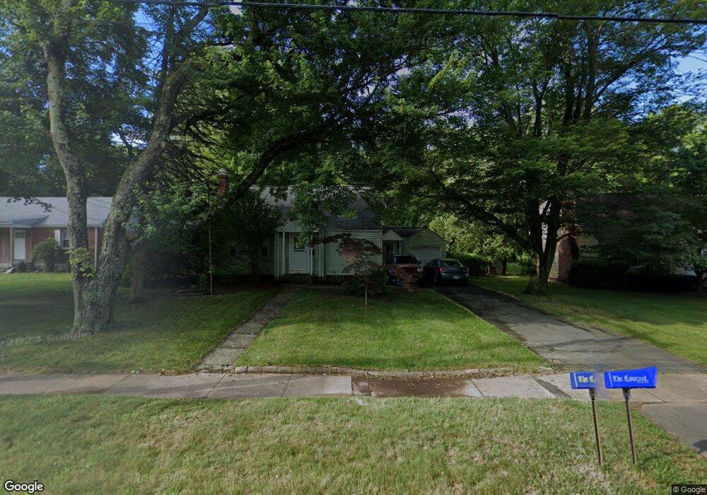
201 Park Ave Bloomfield, CT 06002
Estimated Value: $236,000 - $309,000
3
Beds
3
Baths
1,437
Sq Ft
$190/Sq Ft
Est. Value
About This Home
This home is located at 201 Park Ave, Bloomfield, CT 06002 and is currently estimated at $272,489, approximately $189 per square foot. 201 Park Ave is a home located in Hartford County with nearby schools including Metacomet School, Carmen Arace Intermediate School, and Laurel School.
Ownership History
Date
Name
Owned For
Owner Type
Purchase Details
Closed on
Feb 26, 2025
Sold by
Randolph Cecilia H and Randolph William
Bought by
Kelly Deandree
Current Estimated Value
Home Financials for this Owner
Home Financials are based on the most recent Mortgage that was taken out on this home.
Original Mortgage
$215,743
Outstanding Balance
$214,285
Interest Rate
6.95%
Mortgage Type
Purchase Money Mortgage
Estimated Equity
$58,204
Create a Home Valuation Report for This Property
The Home Valuation Report is an in-depth analysis detailing your home's value as well as a comparison with similar homes in the area
Home Values in the Area
Average Home Value in this Area
Purchase History
| Date | Buyer | Sale Price | Title Company |
|---|---|---|---|
| Kelly Deandree | $234,500 | None Available | |
| Kelly Deandree | $234,500 | None Available |
Source: Public Records
Mortgage History
| Date | Status | Borrower | Loan Amount |
|---|---|---|---|
| Open | Kelly Deandree | $215,743 | |
| Closed | Kelly Deandree | $215,743 |
Source: Public Records
Tax History Compared to Growth
Tax History
| Year | Tax Paid | Tax Assessment Tax Assessment Total Assessment is a certain percentage of the fair market value that is determined by local assessors to be the total taxable value of land and additions on the property. | Land | Improvement |
|---|---|---|---|---|
| 2025 | $6,544 | $168,910 | $33,320 | $135,590 |
| 2024 | $4,375 | $107,780 | $29,100 | $78,680 |
| 2023 | $4,298 | $107,780 | $29,100 | $78,680 |
| 2022 | $3,991 | $107,780 | $29,100 | $78,680 |
| 2021 | $4,104 | $107,780 | $29,100 | $78,680 |
| 2020 | $4,043 | $107,780 | $29,100 | $78,680 |
| 2019 | $4,268 | $106,800 | $29,100 | $77,700 |
| 2018 | $3,975 | $99,330 | $29,190 | $70,140 |
| 2017 | $3,979 | $99,330 | $29,190 | $70,140 |
| 2016 | $3,889 | $99,330 | $29,190 | $70,140 |
| 2015 | $3,824 | $99,330 | $29,190 | $70,140 |
| 2014 | $4,284 | $114,730 | $36,610 | $78,120 |
Source: Public Records
Map
Nearby Homes
- 31 Sutton Place
- 38 Sutton Place Unit 38
- 256 Park Ave
- 159 School St
- 10 Greenbriar Dr Unit 12
- 7 Emerson St
- 53 Hillcrest Ave
- 18 Walsh St
- 1083 Blue Hills Ave Unit G
- 18 Englewood Ave
- 39 Wade Ave
- 31 Farmstead Cir
- 1130 Blue Hills Ave
- 15 Kelsey Place
- 2 Sandra Dr
- 180 Brookline Ave
- 4 Skinner Dr
- 26 Kelsey Place
- 747 Blue Hills Ave
- 147 Morningside St W