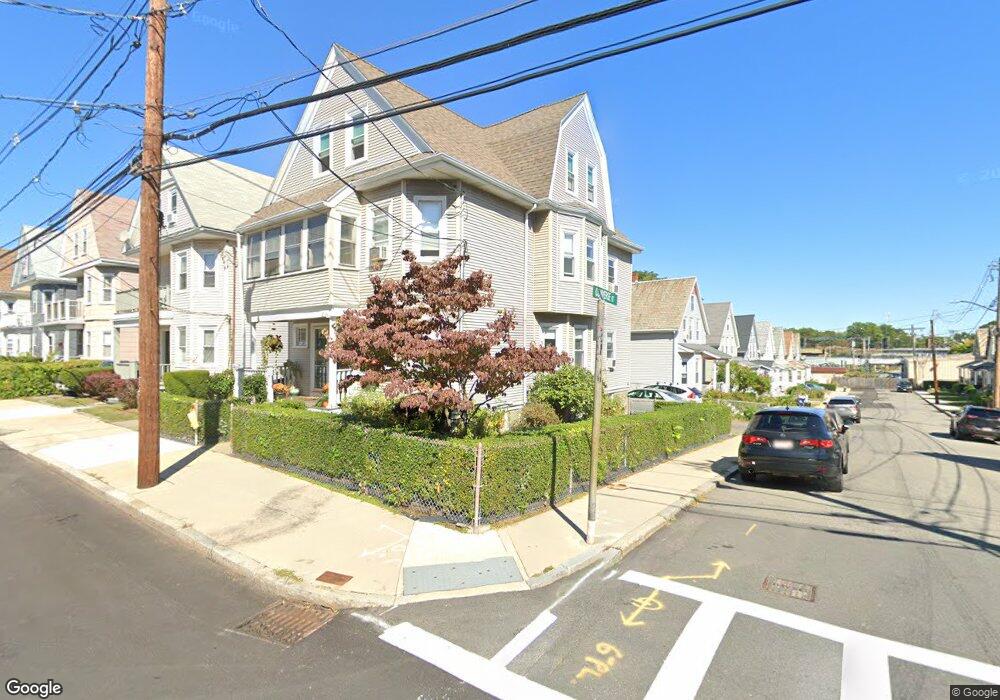
201 Parsons St Unit 203 Brighton, MA 02135
Brighton NeighborhoodEstimated Value: $1,008,000 - $1,167,000
2
Beds
1
Bath
997
Sq Ft
$1,071/Sq Ft
Est. Value
About This Home
This home is located at 201 Parsons St Unit 203, Brighton, MA 02135 and is currently estimated at $1,068,102, approximately $1,071 per square foot. 201 Parsons St Unit 203 is a home located in Suffolk County with nearby schools including Boston Green Academy Horace Mann Charter School, St Columbkille Partnership School, and Shaloh House Jewish Day School.
Ownership History
Date
Name
Owned For
Owner Type
Purchase Details
Closed on
Aug 17, 2009
Sold by
Jacobs Edward W
Bought by
Jacobs Edward W and Jacobs Nancy E
Current Estimated Value
Purchase Details
Closed on
Jun 11, 1998
Sold by
Jacobs James
Bought by
Jacobs Edward W
Home Financials for this Owner
Home Financials are based on the most recent Mortgage that was taken out on this home.
Original Mortgage
$220,000
Interest Rate
7.11%
Mortgage Type
Purchase Money Mortgage
Create a Home Valuation Report for This Property
The Home Valuation Report is an in-depth analysis detailing your home's value as well as a comparison with similar homes in the area
Home Values in the Area
Average Home Value in this Area
Purchase History
| Date | Buyer | Sale Price | Title Company |
|---|---|---|---|
| Jacobs Edward W | -- | -- | |
| Jacobs Edward W | $255,000 | -- |
Source: Public Records
Mortgage History
| Date | Status | Borrower | Loan Amount |
|---|---|---|---|
| Previous Owner | Jacobs Edward W | $212,000 | |
| Previous Owner | Jacobs Edward W | $212,000 | |
| Previous Owner | Jacobs Edward W | $220,000 |
Source: Public Records
Tax History Compared to Growth
Tax History
| Year | Tax Paid | Tax Assessment Tax Assessment Total Assessment is a certain percentage of the fair market value that is determined by local assessors to be the total taxable value of land and additions on the property. | Land | Improvement |
|---|---|---|---|---|
| 2025 | $9,848 | $850,400 | $255,400 | $595,000 |
| 2024 | $9,107 | $835,500 | $246,300 | $589,200 |
| 2023 | $8,305 | $773,300 | $228,000 | $545,300 |
| 2022 | $7,864 | $722,800 | $213,100 | $509,700 |
| 2021 | $7,712 | $722,800 | $213,100 | $509,700 |
| 2020 | $7,594 | $719,100 | $189,800 | $529,300 |
| 2019 | $7,218 | $684,800 | $149,300 | $535,500 |
| 2018 | $6,767 | $645,700 | $149,300 | $496,400 |
| 2017 | $6,707 | $633,300 | $149,300 | $484,000 |
| 2016 | $6,219 | $565,400 | $149,300 | $416,100 |
| 2015 | $6,300 | $520,200 | $157,400 | $362,800 |
| 2014 | $5,560 | $442,000 | $157,400 | $284,600 |
Source: Public Records
Map
Nearby Homes
- 59 Riverview Rd
- 77 Bennett St Unit 2
- 71 Brooks St
- 83-85 Surrey St
- 11 Faneuil St
- 21 Upcrest Rd
- 200-202 Market St
- 35 Glencoe St Unit 43
- 461 Washington St Unit 301
- 18 Glencoe St Unit 42
- 87 Etna St
- 10 Waldo Terrace
- 84-86 Etna St
- 30 Dighton St Unit 3
- 30 Dighton St
- 70 Leo Birmingham Pkwy Unit 307
- 22 Bigelow St
- 39 Champney St
- 50 Leo M Birmingham Pkwy Unit 605
- 50 Leo M Birmingham Pkwy Unit 303
- 203 Parsons St Unit 1
- 221 #2 N Beacon
- 205-207 Parsons St
- 205 Parsons St Unit 207
- 207 Parsons St Unit 207
- 207 Parsons St Unit 2
- 207 Parsons St
- 207 Parsons St Unit 1
- 207 Parsons St Unit 3
- 205 Parsons St
- 207 Parsons St
- 6 Converse St
- 209 Parsons St Unit 211
- 209 Parsons St Unit 209
- 209 Parsons St Unit 1
- 195 Parsons St Unit 197
- 211 Parsons St
- 8 Converse St
- 99 Cresthill Rd
- 99 Cresthill Rd