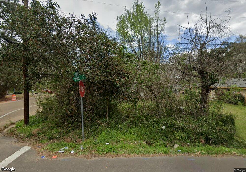
201 Pine St McComb, MS 39648
Estimated Value: $53,000 - $88,000
Studio
--
Bath
1,013
Sq Ft
$63/Sq Ft
Est. Value
About This Home
This home is located at 201 Pine St, McComb, MS 39648 and is currently estimated at $63,822, approximately $63 per square foot. 201 Pine St is a home with nearby schools including Higgins Middle School, Otken Elementary School, and Denman Junior High School.
Ownership History
Date
Name
Owned For
Owner Type
Purchase Details
Closed on
Jan 17, 2025
Sold by
Buie Becky
Bought by
Clay Hill Farms
Current Estimated Value
Purchase Details
Closed on
May 30, 2024
Sold by
M & R Farms Of Meridian Llc
Bought by
Harness Leslie M
Purchase Details
Closed on
Apr 15, 2024
Sold by
Buie Becky
Bought by
M & R Farms Of Meridian Llc
Purchase Details
Closed on
Jan 31, 2006
Sold by
Avatar Llc
Bought by
Harness Essie M
Purchase Details
Closed on
Sep 30, 2005
Sold by
Wall Russell L
Bought by
Avatar Llc
Create a Home Valuation Report for This Property
The Home Valuation Report is an in-depth analysis detailing your home's value as well as a comparison with similar homes in the area
Purchase History
| Date | Buyer | Sale Price | Title Company |
|---|---|---|---|
| Clay Hill Farms | -- | None Listed On Document | |
| Harness Leslie M | -- | None Listed On Document | |
| M & R Farms Of Meridian Llc | -- | None Listed On Document | |
| Harness Essie M | -- | None Available | |
| Avatar Llc | $157 | None Available |
Source: Public Records
Tax History
| Year | Tax Paid | Tax Assessment Tax Assessment Total Assessment is a certain percentage of the fair market value that is determined by local assessors to be the total taxable value of land and additions on the property. | Land | Improvement |
|---|---|---|---|---|
| 2025 | $85 | $478 | $0 | $0 |
| 2024 | $85 | $478 | $0 | $0 |
| 2023 | $84 | $478 | $0 | $0 |
| 2022 | $83 | $478 | $0 | $0 |
| 2021 | $83 | $478 | $0 | $0 |
| 2020 | $83 | $478 | $0 | $0 |
| 2019 | $79 | $478 | $0 | $0 |
| 2018 | $77 | $478 | $0 | $0 |
| 2017 | $245 | $1,513 | $0 | $0 |
| 2016 | $244 | $1,513 | $0 | $0 |
| 2015 | -- | $1,425 | $0 | $0 |
| 2014 | -- | $1,425 | $0 | $0 |
| 2013 | -- | $1,425 | $0 | $0 |
Source: Public Records
Map
Nearby Homes
- 2062 &2063 Lazy Creek Rd
- 122 Denwiddie Ave
- 804 North St
- 800 Jackson Ave
- 900 N James Ave
- 509 Jackson Ave
- 212 Harmony St
- 213 Harmony St
- 315 Kentucky Ave
- 1004 Hickory Ave
- 917 North St
- 333 W Georgia Ave
- 400 Burke Ave
- 136 W New York Ave
- 310 Burke Ave
- 415 N Magnolia St
- 1018 Park St
- 0 Summit Holmesville Rd
- 507 W Georgia Ave
- 111 Cedar Ridge Rd
- 205 Pine St
- 1105 Summit St
- 1030 Summit St
- 1103 Summit St
- 209 Pine St
- 110 Summit St
- 110 A B Thompson
- 1019 Martin Luther King Dr
- 1127 Summit St
- 229 Pine St
- 240 Pine St
- 304 Lynn Ave
- 1109 Dyson Dr
- 111 Martin Luther King Dr
- 1131 Summit St
- 1022 Summit St
- 308 Lynn Ave
- 115 Martin Luther King Dr
- 1017 Summit St
- 1103 Dyson Dr
Your Personal Tour Guide
Ask me questions while you tour the home.