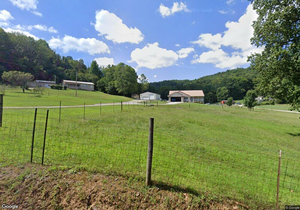
201 Poplar Hill Rd Sparta, TN 38583
Estimated Value: $335,000 - $408,000
--
Bed
2
Baths
1,749
Sq Ft
$212/Sq Ft
Est. Value
About This Home
This home is located at 201 Poplar Hill Rd, Sparta, TN 38583 and is currently estimated at $371,262, approximately $212 per square foot. 201 Poplar Hill Rd is a home located in White County with nearby schools including Findlay Elementary School, White County Middle School, and White County High School.
Ownership History
Date
Name
Owned For
Owner Type
Purchase Details
Closed on
Jan 9, 2025
Sold by
England Pamela A and England Leonard D
Bought by
Pamela Ann England Irrevocable Trust and England
Current Estimated Value
Purchase Details
Closed on
Oct 25, 2002
Sold by
Obrien Beulah E
Bought by
England Leonard D and England Pamela
Create a Home Valuation Report for This Property
The Home Valuation Report is an in-depth analysis detailing your home's value as well as a comparison with similar homes in the area
Home Values in the Area
Average Home Value in this Area
Purchase History
| Date | Buyer | Sale Price | Title Company |
|---|---|---|---|
| Pamela Ann England Irrevocable Trust | -- | None Listed On Document | |
| Pamela Ann England Irrevocable Trust | -- | None Listed On Document | |
| England Leonard D | $3,000 | -- |
Source: Public Records
Tax History Compared to Growth
Tax History
| Year | Tax Paid | Tax Assessment Tax Assessment Total Assessment is a certain percentage of the fair market value that is determined by local assessors to be the total taxable value of land and additions on the property. | Land | Improvement |
|---|---|---|---|---|
| 2024 | $1,375 | $67,050 | $11,400 | $55,650 |
| 2023 | $1,375 | $67,050 | $11,400 | $55,650 |
| 2022 | $1,375 | $67,050 | $11,400 | $55,650 |
| 2021 | $1,375 | $67,050 | $11,400 | $55,650 |
| 2020 | $1,234 | $60,175 | $11,400 | $48,775 |
| 2019 | $1,091 | $53,200 | $8,800 | $44,400 |
| 2018 | $1,091 | $53,200 | $8,800 | $44,400 |
| 2017 | $1,091 | $53,200 | $8,800 | $44,400 |
| 2016 | $1,091 | $53,200 | $8,800 | $44,400 |
| 2015 | $984 | $53,200 | $8,800 | $44,400 |
| 2014 | -- | $53,200 | $8,800 | $44,400 |
| 2013 | -- | $53,625 | $8,800 | $44,825 |
Source: Public Records
Map
Nearby Homes
- 419 Adams St
- 1255 Washington St
- 1644 Walker Cove Rd
- 396 Jefferson Ave
- 673 Charles Golden Rd
- 165 Charles Golden Rd
- 936 N Spring St
- 611 Imperial Dr
- 1375 Roberts Matthews Hwy
- 1354 Duck Pond Rd
- 1200 Duck Pond Rd
- 1545 Roberts Matthews Hwy
- 671 N Spring St
- 272 Jim Hennessee Rd
- 116 Dairy Barn Rd
- 136 Dairy Barn Rd
- 235 Dairy Barn
- 191 Dairy Barn
- 271 Poplar Hill Rd
- 0 Walker Cover Road Rd
- 2509 Walker Cove Rd
- 290 Lincoln St
- 230 Lincoln St
- 2432 Walker Cove Rd
- 282 Hootenauger Rd
- 277 Lincoln St
- Lot 11 Lincoln St
- 148 Lincoln St
- 10.50ac Walker Cove Rd
- 707 Washington St
- 315 Adams St
- 651 Washington St
- 858 Washington St
- 105 Lincoln St
- 2300 Walker Cove Rd
- 729 Jefferson Ave
- 715 Jefferson Ave
- 980 Franklin Ave