201 Province Line Rd Wrightstown, NJ 08562
Estimated Value: $1,199,000 - $1,305,116
4
Beds
2
Baths
3,866
Sq Ft
$324/Sq Ft
Est. Value
About This Home
This home is located at 201 Province Line Rd, Wrightstown, NJ 08562 and is currently estimated at $1,252,058, approximately $323 per square foot. 201 Province Line Rd is a home located in Monmouth County with nearby schools including Newell Elementary School, Stonebridge Middle School, and Allentown High School.
Ownership History
Date
Name
Owned For
Owner Type
Purchase Details
Closed on
Nov 9, 2023
Sold by
Caruso Patricia
Bought by
Caruso Daniel W and Caruso Patricia
Current Estimated Value
Purchase Details
Closed on
Aug 22, 2019
Sold by
Caruso Daniel W and Caruso Patricia
Bought by
Caruso Patricia
Create a Home Valuation Report for This Property
The Home Valuation Report is an in-depth analysis detailing your home's value as well as a comparison with similar homes in the area
Home Values in the Area
Average Home Value in this Area
Purchase History
We collect this data history from publicly available records. To have your information removed, we recommend requesting removal directly through your county’s website.
| Date | Buyer | Sale Price | Title Company |
|---|---|---|---|
| Caruso Daniel W | -- | None Listed On Document | |
| Caruso Daniel W | -- | None Listed On Document | |
| Caruso Patricia | -- | None Available |
Source: Public Records
Tax History
| Year | Tax Paid | Tax Assessment Tax Assessment Total Assessment is a certain percentage of the fair market value that is determined by local assessors to be the total taxable value of land and additions on the property. | Land | Improvement |
|---|---|---|---|---|
| 2025 | $18,805 | $944,300 | $272,000 | $672,300 |
| 2024 | $18,730 | $872,200 | $242,600 | $629,600 |
| 2023 | $18,730 | $843,300 | $242,400 | $600,900 |
| 2022 | $15,627 | $733,800 | $166,300 | $567,500 |
| 2021 | $15,627 | $644,400 | $152,200 | $492,200 |
| 2020 | $15,218 | $630,400 | $152,200 | $478,200 |
| 2019 | $14,979 | $624,900 | $152,200 | $472,700 |
| 2018 | $14,798 | $608,200 | $152,200 | $456,000 |
| 2017 | $14,288 | $595,100 | $152,100 | $443,000 |
| 2016 | $13,971 | $589,000 | $152,100 | $436,900 |
| 2015 | $14,145 | $602,700 | $175,800 | $426,900 |
| 2014 | $14,654 | $629,200 | $166,300 | $462,900 |
Source: Public Records
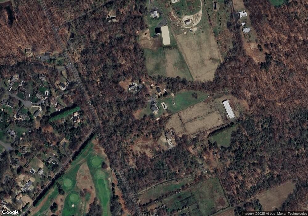
Map
Nearby Homes
- 621 Hanover Dr
- 158 Larrison Rd
- 888 Monmouth Rd
- 269 Jacobstown New Egypt Rd
- 546 Province Line Rd
- 194 Jacobstown New Egypt Rd Unit 4
- 194 Jacobstown New Egypt Rd Unit 2
- 194 Jacobstown New Egypt Rd
- 44 Churchill Blvd
- 52 Belmont Rd
- 5 Aqueduct Blvd
- 53 Meany Rd
- 81 Jacobstown Cookstown Rd
- 11 Nicholas Ct
- 6 Sadie Ln
- 88 Evergreen Rd
- 301 Meany Rd
- 6 5th St
- 17 Maple Ave
- 30 Maple Ave
- 184 Larrison Rd
- 282 Province Line Rd
- 209 Province Line Rd
- 182 Larrison Rd
- 284 Province Line Rd
- 10 Hanover Ct
- 5 Hanover Ct
- 180 Larrison Rd
- 627 Hanover Dr
- 195 Province Line Rd
- 8 Hanover Ct
- 286 Province Line Rd
- 11 Fairway Ct
- 3 Hanover Ct
- 178 Larrison Rd
- 39 Hutchinson Rd
- 9 Fairway Ct
- 6 Hanover Ct
- 35 Hutchinson Rd
- 1 Hanover Ct
Your Personal Tour Guide
Ask me questions while you tour the home.