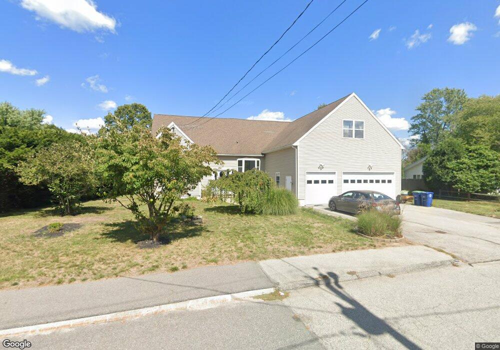
201 Richard Rd Braintree, MA 02184
South Braintree NeighborhoodEstimated Value: $989,000 - $1,269,000
3
Beds
3
Baths
4,458
Sq Ft
$245/Sq Ft
Est. Value
About This Home
This home is located at 201 Richard Rd, Braintree, MA 02184 and is currently estimated at $1,093,786, approximately $245 per square foot. 201 Richard Rd is a home located in Norfolk County with nearby schools including Braintree High School, First Baptist Christian School, and Thayer Academy.
Ownership History
Date
Name
Owned For
Owner Type
Purchase Details
Closed on
Jul 21, 2025
Sold by
Singh Iqbal and Singh Kawal R
Bought by
Iqbal Singh Ft and Singh
Current Estimated Value
Purchase Details
Closed on
Jun 15, 1978
Bought by
Singh Iqbal and Singh Kawal R
Create a Home Valuation Report for This Property
The Home Valuation Report is an in-depth analysis detailing your home's value as well as a comparison with similar homes in the area
Home Values in the Area
Average Home Value in this Area
Purchase History
| Date | Buyer | Sale Price | Title Company |
|---|---|---|---|
| Iqbal Singh Ft | -- | -- | |
| Iqbal Singh Ft | -- | -- | |
| Singh Iqbal | -- | -- |
Source: Public Records
Mortgage History
| Date | Status | Borrower | Loan Amount |
|---|---|---|---|
| Previous Owner | Singh Iqbal | $267,200 | |
| Previous Owner | Singh Iqbal | $15,000 |
Source: Public Records
Tax History
| Year | Tax Paid | Tax Assessment Tax Assessment Total Assessment is a certain percentage of the fair market value that is determined by local assessors to be the total taxable value of land and additions on the property. | Land | Improvement |
|---|---|---|---|---|
| 2025 | $9,493 | $951,200 | $361,200 | $590,000 |
| 2024 | $8,727 | $920,600 | $327,900 | $592,700 |
| 2023 | $8,345 | $855,000 | $294,600 | $560,400 |
| 2022 | $8,224 | $826,500 | $266,100 | $560,400 |
| 2021 | $7,488 | $752,600 | $240,500 | $512,100 |
| 2020 | $7,205 | $730,700 | $218,600 | $512,100 |
| 2019 | $6,972 | $691,000 | $209,100 | $481,900 |
| 2018 | $6,874 | $652,200 | $190,100 | $462,100 |
| 2017 | $6,690 | $622,900 | $180,600 | $442,300 |
| 2016 | $6,589 | $600,100 | $171,100 | $429,000 |
| 2015 | $6,145 | $555,100 | $142,600 | $412,500 |
| 2014 | $5,911 | $517,600 | $136,900 | $380,700 |
Source: Public Records
Map
Nearby Homes
- 1568 Washington St
- 1579 Washington St
- 24 Portland Rd
- 23 Portland Rd
- 9 Amherst Rd
- 6 Massachusetts Ave
- 420 John Mahar Hwy Unit 202
- 19 Selwyn Rd
- 10 Jensen Farm Rd
- 6 Franklin St
- 154 Birch St
- 135 Birch St
- 4 Lake St
- 83 Franklin St
- 107 Meadow Ln Unit 107
- 38 Roosevelt St
- 614 Pond St Unit 2306
- 614 Pond St Unit 1303
- 278 Allerton Commons Ln
- 31 W Division St
Your Personal Tour Guide
Ask me questions while you tour the home.