201 Rogue Rd Burlington, IA 52601
Estimated Value: $200,000 - $256,000
2
Beds
--
Bath
1,528
Sq Ft
$144/Sq Ft
Est. Value
About This Home
This home is located at 201 Rogue Rd, Burlington, IA 52601 and is currently estimated at $219,324, approximately $143 per square foot. 201 Rogue Rd is a home located in Des Moines County with nearby schools including Burlington Community High School.
Ownership History
Date
Name
Owned For
Owner Type
Purchase Details
Closed on
Jul 22, 2025
Sold by
Taylor Kris K
Bought by
Blaesing Kris K and Blaesing Daniel F
Current Estimated Value
Purchase Details
Closed on
Dec 22, 2006
Sold by
Schrader Michael S
Bought by
Schrader Michael S and Taylor Kris K
Home Financials for this Owner
Home Financials are based on the most recent Mortgage that was taken out on this home.
Original Mortgage
$63,000
Interest Rate
6.99%
Mortgage Type
Future Advance Clause Open End Mortgage
Create a Home Valuation Report for This Property
The Home Valuation Report is an in-depth analysis detailing your home's value as well as a comparison with similar homes in the area
Home Values in the Area
Average Home Value in this Area
Purchase History
| Date | Buyer | Sale Price | Title Company |
|---|---|---|---|
| Blaesing Kris K | -- | None Listed On Document | |
| Schrader Michael S | -- | None Available | |
| Schrader Michael S | -- | None Available |
Source: Public Records
Mortgage History
| Date | Status | Borrower | Loan Amount |
|---|---|---|---|
| Previous Owner | Schrader Michael S | $63,000 |
Source: Public Records
Tax History Compared to Growth
Tax History
| Year | Tax Paid | Tax Assessment Tax Assessment Total Assessment is a certain percentage of the fair market value that is determined by local assessors to be the total taxable value of land and additions on the property. | Land | Improvement |
|---|---|---|---|---|
| 2025 | $2,430 | $206,800 | $43,200 | $163,600 |
| 2024 | $2,430 | $185,300 | $43,200 | $142,100 |
| 2023 | $2,290 | $185,300 | $43,200 | $142,100 |
| 2022 | $2,348 | $173,200 | $43,200 | $130,000 |
| 2021 | $2,348 | $173,200 | $43,200 | $130,000 |
| 2020 | $2,504 | $173,200 | $43,200 | $130,000 |
| 2019 | $2,250 | $173,200 | $43,200 | $130,000 |
| 2018 | $2,262 | $147,000 | $50,300 | $96,700 |
| 2017 | $2,272 | $144,500 | $0 | $0 |
| 2016 | $2,214 | $144,500 | $0 | $0 |
| 2015 | $2,214 | $144,500 | $0 | $0 |
| 2014 | $2,256 | $127,900 | $0 | $0 |
Source: Public Records
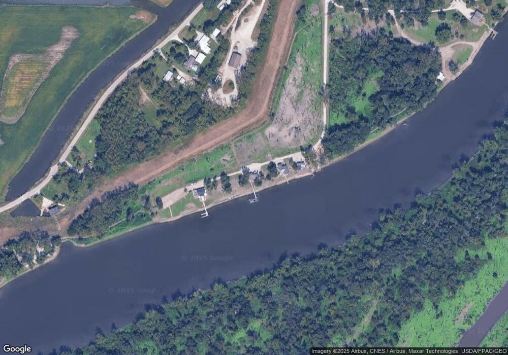
Map
Nearby Homes
- 2035 Highland Ave
- 1 Golf Ct
- 2012 Osborn St
- 1209 Virginia Ave
- 2706 Bittersweet Place
- 1411 N 7th St
- 1137 Corse St
- 900 Oak St
- 1316 Corse St
- 2405 Bittersweet Place
- 1227 N 6th St
- 1309 N 8th St
- 2224 Sunnyside Ave
- 10552 Rolling Hills Dr
- 515 North St
- 830 North St
- 10591 Rolling Hills Dr
- 1216 Linden St
- 312 Franklin St
- 2604 Sunnyside Ave
- 202 Rogue Rd
- 200 Rogue Rd
- 203 Rogue Rd
- 11972 Tama Rd
- 11986 Tama Rd
- 11836 Tama Rd
- 12012 Tama Rd
- 204 Edgewater Beach Rd
- 138 Oconnell Beach Rd
- 205 Edgewater Beach Rd
- 137 Oconnell Beach Rd
- 206 Edgewater Beach Rd
- 206 Edgewater Beach
- 136 Oconnell Beach Rd
- 11472 Oconnell Beach Rd
- 207 Edgewater Beach Rd
- 208 Edgewater Beach Rd
- 134 Oconnell Beach Rd
- 209 Edgewater Beach Rd
- 133 Oconnell Beach Rd