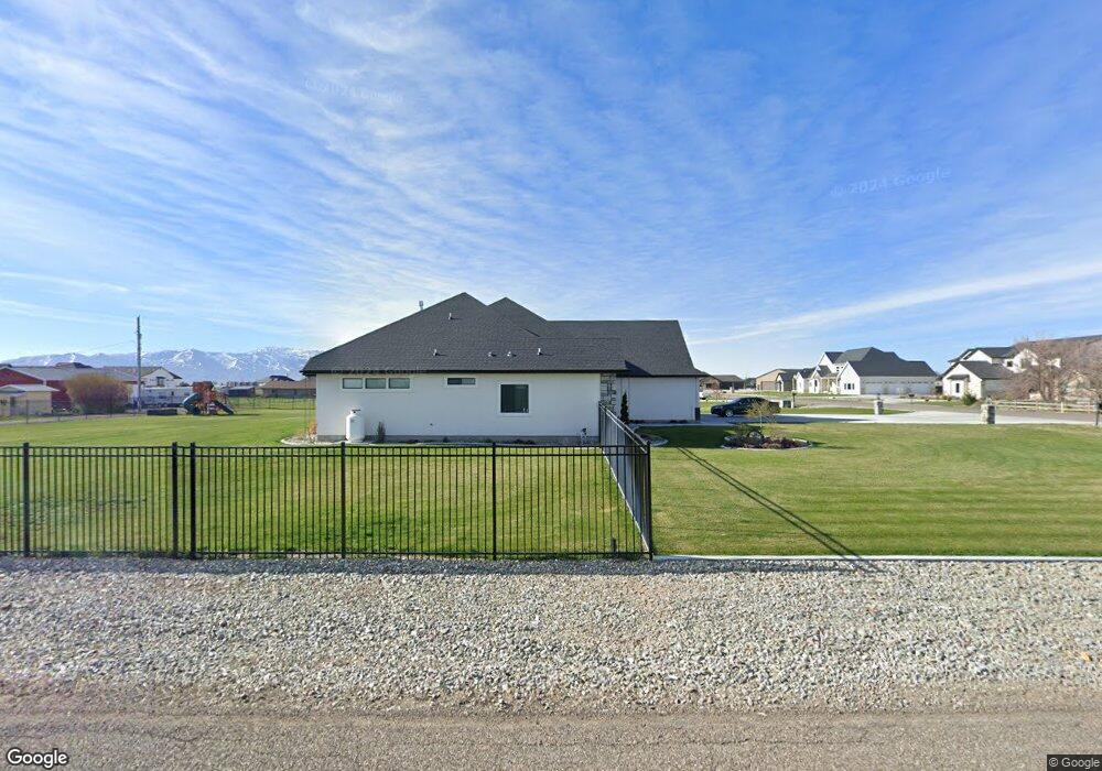
201 S 82 E Burley, ID 83318
Estimated Value: $583,400 - $687,000
4
Beds
3
Baths
2,521
Sq Ft
$248/Sq Ft
Est. Value
About This Home
This home is located at 201 S 82 E, Burley, ID 83318 and is currently estimated at $626,100, approximately $248 per square foot. 201 S 82 E is a home with nearby schools including White Pine Elementary School, Dworshak Elementary School, and Burley Junior High School.
Ownership History
Date
Name
Owned For
Owner Type
Purchase Details
Closed on
Jun 24, 2021
Sold by
James Ray Inc
Bought by
Page Frank and Page Robin
Current Estimated Value
Home Financials for this Owner
Home Financials are based on the most recent Mortgage that was taken out on this home.
Original Mortgage
$372,349
Outstanding Balance
$332,678
Interest Rate
2.9%
Mortgage Type
New Conventional
Estimated Equity
$293,422
Purchase Details
Closed on
Sep 4, 2020
Sold by
Handy Clay and Handy Kristine
Bought by
James Ray Inc
Purchase Details
Closed on
Jul 15, 2020
Sold by
Brent Mitchell Construction Inc
Bought by
Handy Clay and Handy Kristine
Create a Home Valuation Report for This Property
The Home Valuation Report is an in-depth analysis detailing your home's value as well as a comparison with similar homes in the area
Purchase History
| Date | Buyer | Sale Price | Title Company |
|---|---|---|---|
| Page Frank | -- | Titleone Twin Falls | |
| James Ray Inc | -- | Titleone Twin Falls | |
| Handy Clay | -- | None Available |
Source: Public Records
Mortgage History
| Date | Status | Borrower | Loan Amount |
|---|---|---|---|
| Open | Page Frank | $372,349 |
Source: Public Records
Tax History
| Year | Tax Paid | Tax Assessment Tax Assessment Total Assessment is a certain percentage of the fair market value that is determined by local assessors to be the total taxable value of land and additions on the property. | Land | Improvement |
|---|---|---|---|---|
| 2024 | $1,509 | $524,520 | $84,210 | $440,310 |
| 2023 | $2,133 | $525,390 | $84,210 | $441,180 |
| 2022 | $2,352 | $470,985 | $82,395 | $388,590 |
| 2021 | $138 | $61,034 | $61,034 | $0 |
| 2020 | $113 | $48,620 | $48,620 | $0 |
| 2019 | $110 | $12,980 | $12,980 | $0 |
| 2017 | $234 | $2,893 | $2,893 | $0 |
Source: Public Records
Map
Nearby Homes
- 3449 Hiland Ave
- 1017 Coventry Ln
- 1100 Coventry Ln
- 321 Dennis Dr
- TBD Bald Mountain
- 450 E 27th St
- 221 S 30 W
- 201 E 27th St
- 2419 Lotus Ave
- 642 Clear Springs St
- 431 Pratt Place
- 2441 Dorchester Ave
- 1079 Maplewood St
- 2411 Bristol Ave
- 2401 Bristol Ave
- 2359 Bristol Ave
- 2339 Bristol Ave
- 262 Ferdinand Cir
- 410 E 24th St
- 550 Oxford St
Your Personal Tour Guide
Ask me questions while you tour the home.