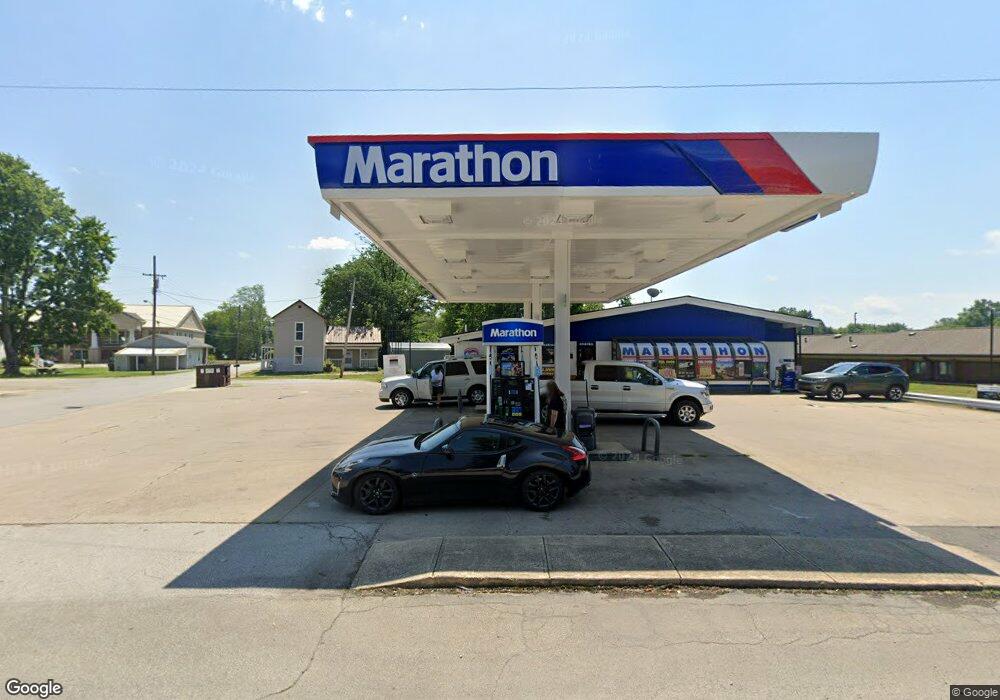
201 S High St Mount Orab, OH 45154
Studio
--
Bath
--
Sq Ft
19,602
Sq Ft
About This Home
This home is located at 201 S High St, Mount Orab, OH 45154. 201 S High St is a home located in Brown County with nearby schools including Western Brown High School.
Ownership History
Date
Name
Owned For
Owner Type
Purchase Details
Closed on
Dec 31, 2024
Sold by
Kps Holdings Llc
Bought by
Hardy Family Llc
Home Financials for this Owner
Home Financials are based on the most recent Mortgage that was taken out on this home.
Original Mortgage
$42,080,000
Interest Rate
6.76%
Mortgage Type
Credit Line Revolving
Purchase Details
Closed on
May 15, 2018
Sold by
Orab Holdings Llc
Bought by
Kps Holdings Llc
Home Financials for this Owner
Home Financials are based on the most recent Mortgage that was taken out on this home.
Original Mortgage
$2,880,000
Interest Rate
4.4%
Mortgage Type
Future Advance Clause Open End Mortgage
Purchase Details
Closed on
Oct 29, 2010
Sold by
Foodshop Corporation
Bought by
Orab Holdings Llc
Purchase Details
Closed on
Jan 16, 2004
Sold by
Mt Orab Food Shop Corp
Bought by
Foodshop Corp
Create a Home Valuation Report for This Property
The Home Valuation Report is an in-depth analysis detailing your home's value as well as a comparison with similar homes in the area
Home Values in the Area
Average Home Value in this Area
Purchase History
| Date | Buyer | Sale Price | Title Company |
|---|---|---|---|
| Hardy Family Llc | $1,100,045 | None Listed On Document | |
| Hardy Family Llc | $1,100,045 | None Listed On Document | |
| Kps Holdings Llc | $500,000 | None Available | |
| Orab Holdings Llc | $177,000 | None Available | |
| Foodshop Corp | -- | -- |
Source: Public Records
Mortgage History
| Date | Status | Borrower | Loan Amount |
|---|---|---|---|
| Previous Owner | Hardy Family Llc | $42,080,000 | |
| Previous Owner | Kps Holdings Llc | $2,880,000 |
Source: Public Records
Tax History
| Year | Tax Paid | Tax Assessment Tax Assessment Total Assessment is a certain percentage of the fair market value that is determined by local assessors to be the total taxable value of land and additions on the property. | Land | Improvement |
|---|---|---|---|---|
| 2024 | $2,682 | $69,720 | $16,290 | $53,430 |
| 2023 | $2,682 | $46,350 | $10,440 | $35,910 |
| 2022 | $1,897 | $46,350 | $10,440 | $35,910 |
| 2021 | $1,828 | $46,350 | $10,440 | $35,910 |
| 2020 | $1,849 | $46,350 | $10,440 | $35,910 |
| 2019 | $1,972 | $46,350 | $10,440 | $35,910 |
| 2018 | $1,940 | $46,350 | $10,440 | $35,910 |
| 2017 | $1,826 | $42,280 | $10,440 | $31,840 |
| 2016 | $1,838 | $42,280 | $10,440 | $31,840 |
| 2015 | $1,774 | $42,280 | $10,440 | $31,840 |
| 2014 | $1,774 | $42,280 | $10,440 | $31,840 |
| 2013 | $1,769 | $42,280 | $10,440 | $31,840 |
Source: Public Records
Map
Nearby Homes
- 329 E Main St
- 402 E Main St
- 506 E Main St
- 208 Gregory St
- 108 Lonny St
- 214 Gregory St
- 106 Lonny St
- 203 Bingaman Ln
- 317 Robin Ave
- 106 Haylee Dr
- 206 Bingaman Ln
- 422 Liming Farm Rd
- 3387 Trabecca Ln
- 106 Nathans Ln
- 0 State Route 32 Unit 1795308
- 105 Maple Ridge Ave
- 3738 Lake Grant Access Rd
- 13523 Lake Grant Rd
- 3517 Bardwell Buford Rd
- 4488 Bardwell Buford Rd
- 108 Water St
- 0 E Sterling Rd Unit 1101520
- 0 E Sterling Rd Unit 1081368
- 0 E Sterling Rd Unit 1010061
- 0 E Sterling Rd Unit 956403
- 0 E Sterling Rd Unit 863868
- 0 E Sterling Rd Unit 815688
- 0 E Sterling Rd Unit 760998
- 200 S High St
- 124 S High St
- 110 Water St
- 202 S High St
- 122 S High St
- 114 Spice St
- 204 S High St
- 112 Spice St
- 200 Water St
- 205 S High St
- 118 S High St
- 206 Water St
Your Personal Tour Guide
Ask me questions while you tour the home.