Estimated Value: $416,109 - $494,000
3
Beds
1
Bath
1,440
Sq Ft
$311/Sq Ft
Est. Value
About This Home
This home is located at 201 S Tunstall St, Apex, NC 27502 and is currently estimated at $447,777, approximately $310 per square foot. 201 S Tunstall St is a home located in Wake County with nearby schools including Apex Elementary School, Apex Middle, and Apex High School.
Ownership History
Date
Name
Owned For
Owner Type
Purchase Details
Closed on
Dec 6, 2010
Sold by
Whittington Katherine W
Bought by
Dubose Elizabeth J
Current Estimated Value
Home Financials for this Owner
Home Financials are based on the most recent Mortgage that was taken out on this home.
Original Mortgage
$85,000
Outstanding Balance
$56,386
Interest Rate
4.3%
Mortgage Type
New Conventional
Estimated Equity
$391,391
Create a Home Valuation Report for This Property
The Home Valuation Report is an in-depth analysis detailing your home's value as well as a comparison with similar homes in the area
Home Values in the Area
Average Home Value in this Area
Purchase History
| Date | Buyer | Sale Price | Title Company |
|---|---|---|---|
| Dubose Elizabeth J | $125,000 | None Available |
Source: Public Records
Mortgage History
| Date | Status | Borrower | Loan Amount |
|---|---|---|---|
| Open | Dubose Elizabeth J | $85,000 |
Source: Public Records
Tax History Compared to Growth
Tax History
| Year | Tax Paid | Tax Assessment Tax Assessment Total Assessment is a certain percentage of the fair market value that is determined by local assessors to be the total taxable value of land and additions on the property. | Land | Improvement |
|---|---|---|---|---|
| 2025 | $3,369 | $383,578 | $230,000 | $153,578 |
| 2024 | $3,294 | $383,578 | $230,000 | $153,578 |
| 2023 | $2,107 | $190,221 | $90,000 | $100,221 |
| 2022 | $1,978 | $190,221 | $90,000 | $100,221 |
| 2021 | $1,903 | $190,221 | $90,000 | $100,221 |
| 2020 | $1,884 | $190,221 | $90,000 | $100,221 |
| 2019 | $1,724 | $150,064 | $72,000 | $78,064 |
| 2018 | $1,625 | $150,064 | $72,000 | $78,064 |
| 2017 | $1,513 | $150,064 | $72,000 | $78,064 |
| 2016 | $1,491 | $160,868 | $80,000 | $80,868 |
| 2015 | $1,358 | $133,221 | $52,000 | $81,221 |
| 2014 | $1,310 | $133,221 | $52,000 | $81,221 |
Source: Public Records
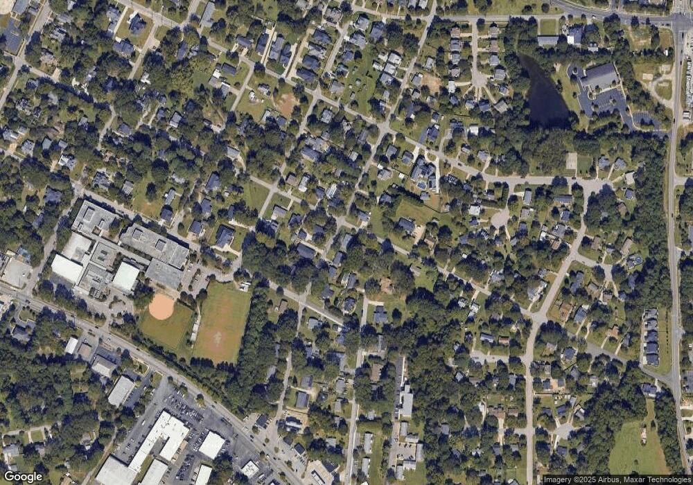
Map
Nearby Homes
- 105 Cunningham St
- 314 Wrenn St
- 311 Culvert St
- 309 Culvert St
- 307 S Elm St
- 635 Sawcut Ln
- 631 Sawcut Ln
- 633 Sawcut Ln
- 281 Williams Grove Ln Unit Lot 64
- 281 Williams Grove Ln
- 285 Williams Grove Ln Unit Lot 65
- 295 Williams Grove Ln Unit Lot 67
- 273 Williams Grove Ln Unit Lot 62
- 265 Williams Grove Ln
- 406 S Salem St
- 202 W Chatham St
- 298 Williams Grove Ln N Unit 68
- 294 Williams Grove Ln Unit 69
- 294 Williams Grove Ln
- 286 Williams Grove Ln Unit Lot 71
- 201 S Tunstall Ave
- 205 S Tunstall Ave
- 704 Olive St
- 209 S Tunstall Ave
- 608 Olive St
- 701 Olive St
- 204 Wrenn St
- 206 S Tunstall Ave
- 213 S Tunstall Ave
- 604 Olive St
- 607 Olive St
- 105 S Tunstall Ave
- 214 S Tunstall Ave
- 210 Wrenn St
- 605 Olive St
- 106 S Tunstall Ave
- 205 S Ellington St
- 203 Wrenn St
- 600 Olive St
- 213 Wrenn St