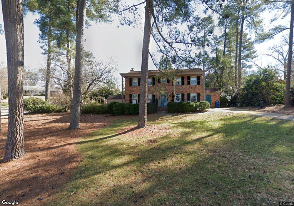
201 Sampson St Raleigh, NC 27609
North Hills NeighborhoodEstimated Value: $783,626 - $914,000
4
Beds
3
Baths
2,232
Sq Ft
$369/Sq Ft
Est. Value
About This Home
This home is located at 201 Sampson St, Raleigh, NC 27609 and is currently estimated at $823,407, approximately $368 per square foot. 201 Sampson St is a home located in Wake County with nearby schools including Brooks Elementary, Carroll Middle, and Sanderson High School.
Ownership History
Date
Name
Owned For
Owner Type
Purchase Details
Closed on
Nov 10, 2022
Sold by
Rowe Emily Brooks and Rowe Patrick Ambrose
Bought by
Emily And Patrick Rowe Living Trust
Current Estimated Value
Purchase Details
Closed on
Mar 23, 2018
Sold by
Debnam Anne Thurston
Bought by
Brooks Emily Y and Rowe Patrick Ambrose
Home Financials for this Owner
Home Financials are based on the most recent Mortgage that was taken out on this home.
Original Mortgage
$159,900
Interest Rate
4.38%
Mortgage Type
New Conventional
Purchase Details
Closed on
Aug 22, 2008
Sold by
Rapp Stewart G and Haskett Mary E
Bought by
Graham Cameron P and Graham Damien C
Home Financials for this Owner
Home Financials are based on the most recent Mortgage that was taken out on this home.
Original Mortgage
$320,400
Interest Rate
4.75%
Mortgage Type
Purchase Money Mortgage
Create a Home Valuation Report for This Property
The Home Valuation Report is an in-depth analysis detailing your home's value as well as a comparison with similar homes in the area
Home Values in the Area
Average Home Value in this Area
Purchase History
| Date | Buyer | Sale Price | Title Company |
|---|---|---|---|
| Emily And Patrick Rowe Living Trust | -- | -- | |
| Brooks Emily Y | $460,000 | None Available | |
| Graham Cameron P | $356,000 | Chicago Title Insurance Co |
Source: Public Records
Mortgage History
| Date | Status | Borrower | Loan Amount |
|---|---|---|---|
| Previous Owner | Brooks Emily Y | $159,900 | |
| Previous Owner | Graham Cameron P | $320,400 |
Source: Public Records
Tax History
| Year | Tax Paid | Tax Assessment Tax Assessment Total Assessment is a certain percentage of the fair market value that is determined by local assessors to be the total taxable value of land and additions on the property. | Land | Improvement |
|---|---|---|---|---|
| 2025 | $6,006 | $686,343 | $517,500 | $168,843 |
| 2024 | $5,981 | $686,343 | $517,500 | $168,843 |
Source: Public Records
Map
Nearby Homes
- 4421 Pamlico Dr
- 100 Northbrook Dr Unit 207
- 100 Northbrook Dr Unit 205
- 100 Northbrook Dr Unit 101
- 508 Foxhall St
- 4709 Stiller St
- 116 Northbrook Dr Unit 305
- 108 Northbrook Dr Unit 203
- 108 Northbrook Dr Unit 307
- 4305 Pamlico Dr
- 613 Sampson St
- 4523 Revere Dr
- 812 Manchester Dr
- 4123 Rockingham Dr
- 409 Cottonwood Cir
- 4801 Rampart St
- 405 Cottonwood Cir
- 4119 Rockingham Dr
- 211 Northfield Dr
- 4112 Rockingham Dr
- 205 Sampson St
- 219 Northbrook Dr
- 301 Northbrook Dr
- 224 Northbrook Dr
- 215 Northbrook Dr
- 204 Sampson St
- 209 Sampson St
- 300 Northbrook Dr
- 208 Sampson St
- 302 Northbrook Dr
- 305 Northbrook Dr
- 4700 Terry St
- 211 Northbrook Dr
- 215 Sampson St
- 4704 Terry St
- 201 Ellwood Dr
- 308 Northbrook Dr
- 4504 Gates St
- 4508 Gates St
- 4512 Gates St
Your Personal Tour Guide
Ask me questions while you tour the home.