201 Sheffield Rd West Lafayette, IN 47906
Estimated Value: $417,000 - $530,865
--
Bed
--
Bath
2,967
Sq Ft
$160/Sq Ft
Est. Value
About This Home
This home is located at 201 Sheffield Rd, West Lafayette, IN 47906 and is currently estimated at $475,466, approximately $160 per square foot. 201 Sheffield Rd is a home located in Tippecanoe County with nearby schools including Burnett Creek Elementary School, Battle Ground Middle School, and William Henry Harrison High School.
Ownership History
Date
Name
Owned For
Owner Type
Purchase Details
Closed on
Dec 14, 2007
Sold by
Steele John and Steele Judith
Bought by
Judith K Steele Living Revocable Trust
Current Estimated Value
Purchase Details
Closed on
Aug 30, 2005
Sold by
Pence Merville L
Bought by
Steele John and Steele Judith
Purchase Details
Closed on
Oct 18, 2002
Sold by
Pence Merville L and Pence Martha Amsler
Bought by
Pence Merville L and Pence Martha Amsler
Create a Home Valuation Report for This Property
The Home Valuation Report is an in-depth analysis detailing your home's value as well as a comparison with similar homes in the area
Home Values in the Area
Average Home Value in this Area
Purchase History
| Date | Buyer | Sale Price | Title Company |
|---|---|---|---|
| Judith K Steele Living Revocable Trust | -- | None Available | |
| Steele John | -- | -- | |
| Pence Merville L | -- | -- |
Source: Public Records
Tax History Compared to Growth
Tax History
| Year | Tax Paid | Tax Assessment Tax Assessment Total Assessment is a certain percentage of the fair market value that is determined by local assessors to be the total taxable value of land and additions on the property. | Land | Improvement |
|---|---|---|---|---|
| 2024 | $4,328 | $432,800 | $83,200 | $349,600 |
| 2023 | $4,200 | $420,000 | $83,200 | $336,800 |
| 2022 | $3,889 | $388,900 | $83,200 | $305,700 |
| 2021 | $3,268 | $326,800 | $83,200 | $243,600 |
| 2020 | $3,176 | $317,600 | $83,200 | $234,400 |
| 2019 | $3,090 | $309,000 | $83,200 | $225,800 |
| 2018 | $3,027 | $302,700 | $74,200 | $228,500 |
| 2017 | $2,998 | $299,800 | $74,200 | $225,600 |
| 2016 | $3,025 | $302,500 | $74,200 | $228,300 |
| 2014 | $2,603 | $260,300 | $52,500 | $207,800 |
| 2013 | $2,482 | $248,200 | $52,500 | $195,700 |
Source: Public Records
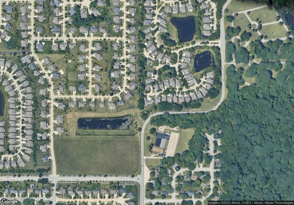
Map
Nearby Homes
- 112 Northwood Dr
- 3332 Shrewsbury Dr
- 10 Steuben Ct
- 3449 Brixford Ln
- 3203 Jasper St
- 4203 Millingden Trail
- 3674 Wakefield Dr
- 3500 Burnley Dr
- 3425 Morgan St
- 3507 Wakefield Dr
- 3040 Hamilton St
- 301 Overlook Dr
- 65 Hayloft (41 Am) Dr
- 372 Carlton Dr
- 129 Hayloft Dr
- 3631 Senior Place
- 213 Hartman Ct
- 3519 Senior Place
- 4578 Matthew St
- 4274 Demeree Way
- 209 Sheffield Rd
- 3604 Litchfield Ln
- 200 Sheffield Rd
- 213 Sheffield Rd
- 213 Sheffield Rd
- 208 Sheffield Rd
- 3612 Litchfield Ln
- 3608 Greenfield Ln
- 212 Sheffield Rd
- 3127 Litchfield Ln
- 217 Sheffield Rd
- 216 Sheffield Rd
- 3612 Greenfield Ln
- 3620 Litchfield Ln
- 221 Sheffield Rd
- 220 Sheffield Rd
- 3135 Litchfield Ln
- 225 Sheffield Rd
- 3138 Litchfield Ln
- 3628 Litchfield Ln