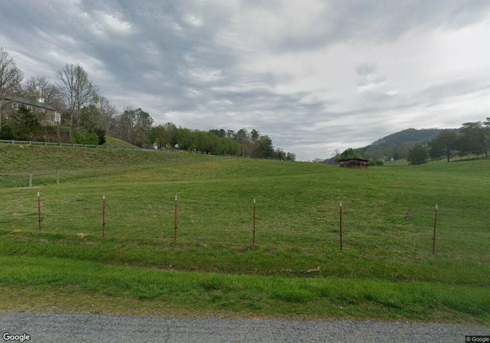
201 Smokey Branch Rd Vonore, TN 37885
Estimated Value: $281,000 - $405,000
4
Beds
1
Bath
2,184
Sq Ft
$157/Sq Ft
Est. Value
About This Home
This home is located at 201 Smokey Branch Rd, Vonore, TN 37885 and is currently estimated at $343,000, approximately $157 per square foot. 201 Smokey Branch Rd is a home located in Monroe County with nearby schools including Vonore Elementary School, Vonore Middle School, and Sweetwater High School.
Ownership History
Date
Name
Owned For
Owner Type
Purchase Details
Closed on
Apr 4, 2018
Sold by
Perry Constance L and Perry Constance Leah
Bought by
Burton Lisa and Burton Vincent
Current Estimated Value
Purchase Details
Closed on
Aug 11, 2010
Sold by
Federal National Mortgage Association
Bought by
Dockery William Mark
Purchase Details
Closed on
Jun 9, 2010
Sold by
Bailey Larry Wayne
Bought by
Federal National Mtg Associati
Purchase Details
Closed on
Aug 22, 1995
Sold by
Teague Randell A
Bought by
Larry Bailey
Purchase Details
Closed on
Apr 7, 1983
Bought by
Teague Randell A and Mary Ann
Purchase Details
Closed on
May 24, 1976
Create a Home Valuation Report for This Property
The Home Valuation Report is an in-depth analysis detailing your home's value as well as a comparison with similar homes in the area
Home Values in the Area
Average Home Value in this Area
Purchase History
| Date | Buyer | Sale Price | Title Company |
|---|---|---|---|
| Burton Lisa | $44,000 | None Available | |
| Dockery William Mark | $49,000 | -- | |
| Federal National Mtg Associati | $122,276 | -- | |
| Larry Bailey | $75,000 | -- | |
| Teague Randell A | -- | -- | |
| -- | -- | -- |
Source: Public Records
Tax History Compared to Growth
Tax History
| Year | Tax Paid | Tax Assessment Tax Assessment Total Assessment is a certain percentage of the fair market value that is determined by local assessors to be the total taxable value of land and additions on the property. | Land | Improvement |
|---|---|---|---|---|
| 2024 | $1,068 | $70,125 | $10,575 | $59,550 |
| 2023 | $1,016 | $70,125 | $10,575 | $59,550 |
| 2022 | $1,114 | $49,725 | $9,525 | $40,200 |
| 2021 | $1,114 | $49,725 | $9,525 | $40,200 |
| 2020 | $1,114 | $49,725 | $9,525 | $40,200 |
| 2019 | $984 | $49,725 | $9,525 | $40,200 |
| 2018 | $952 | $48,100 | $9,525 | $38,575 |
| 2017 | $982 | $46,900 | $9,525 | $37,375 |
| 2016 | $941 | $46,900 | $9,525 | $37,375 |
| 2015 | $941 | $44,925 | $9,525 | $35,400 |
| 2014 | $941 | $44,941 | $0 | $0 |
Source: Public Records
Map
Nearby Homes
- 351 White Plains Rd
- 151 Citico Rd
- 0 Citico Rd Unit 1298030
- 0 Citico Rd Unit 1298029
- 0 Citico Rd Unit 1298027
- 155 George Thomas Rd
- 0 Antioch Church Rd
- 0 Old Citico Rd Unit 1302358
- 0 Old Citico Rd Unit 1302357
- 113 McSpadden Branch Rd
- 0 McSpadden Branch Rd
- 2255 Citico Rd
- 206 Old Citico Rd Unit Lot 25
- 328 Boiling Springs Rd
- 0 Boiling Springs Rd Unit 1286857
- 1651 Highway 360
- Lot 8 Shiners Bluff Dr
- 171 acres Scenic River Rd
- 0 Lindsey Cemetery Rd Unit 1287299
- 0 Miller Rd
- 227 Smokey Branch Rd
- 642 Citico Rd
- 646 Citico Rd
- 243 Smokey Branch Rd
- 243 Smokey Branch Rd
- 241 Smokey Branch Rd
- 200 Smokey Branch Rd
- 882 White Plains Rd
- 654 Citico Rd
- 635 Citico Rd
- 625 Citico Rd
- 651 Citico Rd
- 615 Citico Rd
- 655 Citico Rd
- 856 White Plains Rd
- 891 White Plains Rd
- 866 White Plains Rd
- 269 Smokey Branch Rd
- 662 Citico Rd
- 885 White Plains Rd
