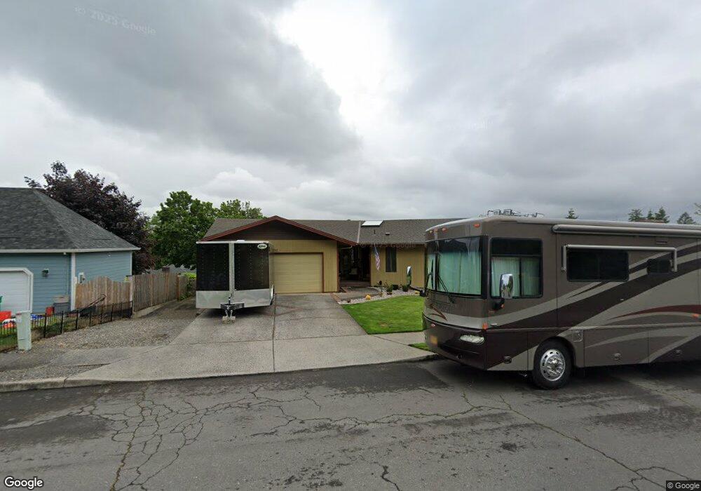
201 SW 6th Ct Gresham, OR 97080
Gresham Butte NeighborhoodEstimated Value: $582,000 - $676,000
4
Beds
3
Baths
2,754
Sq Ft
$227/Sq Ft
Est. Value
About This Home
This home is located at 201 SW 6th Ct, Gresham, OR 97080 and is currently estimated at $625,860, approximately $227 per square foot. 201 SW 6th Ct is a home located in Multnomah County with nearby schools including Dexter McCarty Middle School, Gresham High School, and Gresham Arthur Academy.
Ownership History
Date
Name
Owned For
Owner Type
Purchase Details
Closed on
Mar 11, 2019
Sold by
Robinson Ryan M
Bought by
Robinson Susan J and Robinson Ryan M
Current Estimated Value
Home Financials for this Owner
Home Financials are based on the most recent Mortgage that was taken out on this home.
Original Mortgage
$326,400
Outstanding Balance
$286,379
Interest Rate
4.4%
Mortgage Type
New Conventional
Estimated Equity
$339,481
Purchase Details
Closed on
Feb 24, 2005
Sold by
Hoffer Leslie H
Bought by
Robinson Ryan M
Home Financials for this Owner
Home Financials are based on the most recent Mortgage that was taken out on this home.
Original Mortgage
$260,000
Interest Rate
6.62%
Mortgage Type
Purchase Money Mortgage
Create a Home Valuation Report for This Property
The Home Valuation Report is an in-depth analysis detailing your home's value as well as a comparison with similar homes in the area
Home Values in the Area
Average Home Value in this Area
Purchase History
| Date | Buyer | Sale Price | Title Company |
|---|---|---|---|
| Robinson Susan J | -- | Old Republic Title Co Of Or | |
| Robinson Ryan M | $325,000 | Transnation Title Agency Or |
Source: Public Records
Mortgage History
| Date | Status | Borrower | Loan Amount |
|---|---|---|---|
| Open | Robinson Susan J | $326,400 | |
| Closed | Robinson Ryan M | $260,000 | |
| Closed | Robinson Ryan M | $65,000 |
Source: Public Records
Tax History
| Year | Tax Paid | Tax Assessment Tax Assessment Total Assessment is a certain percentage of the fair market value that is determined by local assessors to be the total taxable value of land and additions on the property. | Land | Improvement |
|---|---|---|---|---|
| 2025 | $7,981 | $392,190 | -- | -- |
| 2024 | $7,640 | $380,770 | -- | -- |
| 2023 | $6,960 | $369,680 | $0 | $0 |
| 2022 | $6,766 | $358,920 | $0 | $0 |
| 2021 | $6,595 | $348,470 | $0 | $0 |
| 2020 | $6,206 | $338,330 | $0 | $0 |
| 2019 | $6,043 | $328,480 | $0 | $0 |
| 2018 | $5,762 | $318,920 | $0 | $0 |
| 2017 | $5,528 | $309,640 | $0 | $0 |
| 2016 | $4,874 | $300,630 | $0 | $0 |
Source: Public Records
Map
Nearby Homes
- 625 SW Miller Ct
- 638 SW 7th St
- 415 SE Roberts Ave
- 417 SE Roberts Ave
- 419 SW Day Ct
- 55 SW Lovhar Dr
- 645 W Powell Blvd
- 1407 SW Walters Dr
- 0 SW Miller Ct Unit 470855683
- 159 SW Florence Ave Unit 64
- 159 SW Florence Ave
- 318 NE Roberts Ave Unit 308
- 318 NE Roberts Ave Unit 203
- 1113 W Powell Blvd
- 0 NE 5th St
- 511 SE 15th St
- 1434 SW 5th Place
- 491 NE Elliott Ave
- 1175 SW Chastain Dr
- 660 NE 9th St
- 135 SW 6th Ct
- 211 SW 6th Ct
- 520 SW Walters Dr
- 222 SW 5th St
- 123 SW 6th Ct
- 510 SW Walters Dr
- 130 SW 6th Ct
- 640 SW Walters Dr
- 117 SW 6th Ct
- 295 SW 6th St
- 644 SW Walters Dr
- 625 SW Walters Dr
- 645 SW Walters Dr
- 110 SW 5th St
- 605 SW Miller Ct
- 506 SW Victoria Ct
- 305 SW 6th St
- 109 SW 6th Ct
- 350 SW 7th St
- 639 SW Miller Ct
Your Personal Tour Guide
Ask me questions while you tour the home.