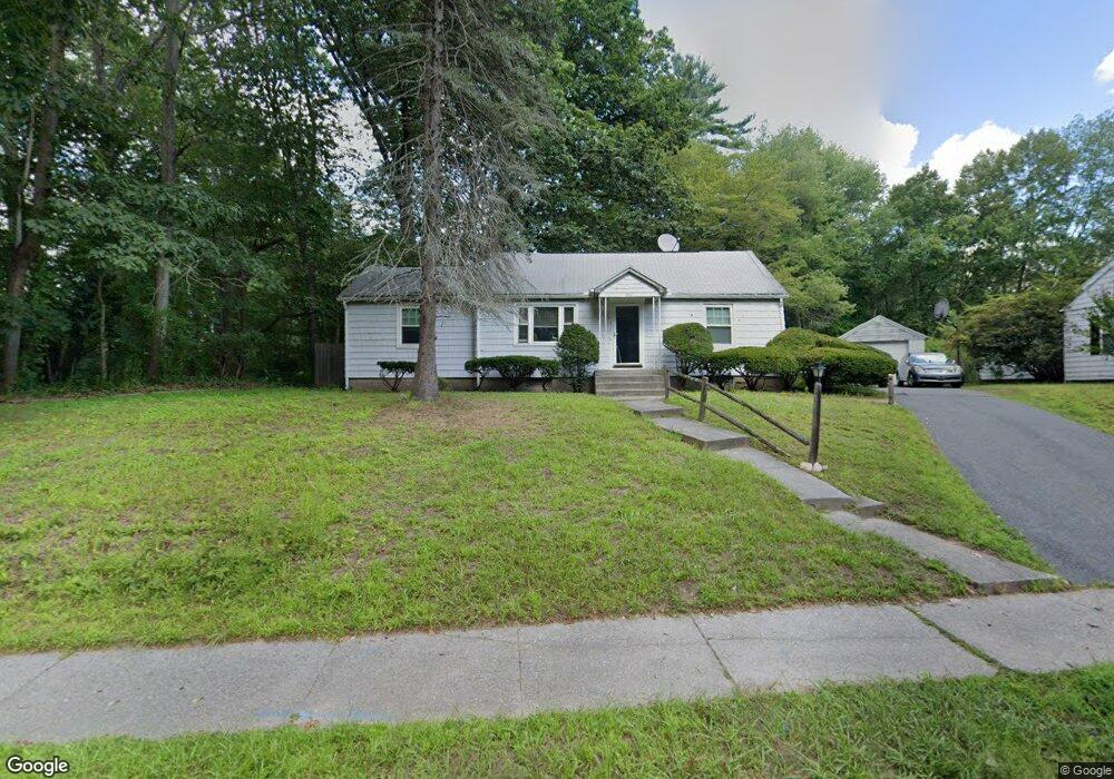
201 Tiffany St Springfield, MA 01108
Forest Park NeighborhoodEstimated Value: $246,000 - $299,000
3
Beds
1
Bath
1,008
Sq Ft
$274/Sq Ft
Est. Value
About This Home
This home is located at 201 Tiffany St, Springfield, MA 01108 and is currently estimated at $276,021, approximately $273 per square foot. 201 Tiffany St is a home located in Hampden County with nearby schools including Alice B. Beal Elementary School, Forest Park Middle School, and High School Of Commerce.
Ownership History
Date
Name
Owned For
Owner Type
Purchase Details
Closed on
Mar 27, 2025
Sold by
Loguidice Marilyn R Est and Loguidice
Bought by
Loguidice Robert M
Current Estimated Value
Purchase Details
Closed on
Jul 6, 1984
Bought by
Loguidice Marilyn R
Create a Home Valuation Report for This Property
The Home Valuation Report is an in-depth analysis detailing your home's value as well as a comparison with similar homes in the area
Home Values in the Area
Average Home Value in this Area
Purchase History
| Date | Buyer | Sale Price | Title Company |
|---|---|---|---|
| Loguidice Robert M | -- | None Available | |
| Loguidice Robert M | -- | None Available | |
| Loguidice Marilyn R | $46,000 | -- |
Source: Public Records
Mortgage History
| Date | Status | Borrower | Loan Amount |
|---|---|---|---|
| Previous Owner | Loguidice Marilyn R | $24,624 | |
| Previous Owner | Loguidice Marilyn R | $10,000 | |
| Previous Owner | Loguidice Marilyn R | $21,700 |
Source: Public Records
Tax History Compared to Growth
Tax History
| Year | Tax Paid | Tax Assessment Tax Assessment Total Assessment is a certain percentage of the fair market value that is determined by local assessors to be the total taxable value of land and additions on the property. | Land | Improvement |
|---|---|---|---|---|
| 2025 | $3,349 | $213,600 | $49,300 | $164,300 |
| 2024 | $3,421 | $213,000 | $49,300 | $163,700 |
| 2023 | $3,403 | $199,600 | $41,700 | $157,900 |
| 2022 | $3,267 | $173,600 | $41,700 | $131,900 |
| 2021 | $3,139 | $166,100 | $37,900 | $128,200 |
| 2020 | $2,697 | $138,100 | $37,900 | $100,200 |
| 2019 | $2,706 | $137,500 | $37,900 | $99,600 |
| 2018 | $2,450 | $124,500 | $37,900 | $86,600 |
| 2017 | $2,393 | $121,700 | $37,900 | $83,800 |
| 2016 | $2,184 | $111,100 | $37,900 | $73,200 |
| 2015 | $2,264 | $115,100 | $37,900 | $77,200 |
Source: Public Records
Map
Nearby Homes
- 25 Bremen St
- 28 Entrybrook Dr
- 31 Craig St
- 95 Tiffany St
- 116 Hartwick St
- 137 Carroll St
- 75 Bennington St
- 511 Trafton Rd
- Lot 30 Carver St
- 147 Belvidere St
- 137 Shawmut St
- 60 Blake St
- 22 Hartwick St
- 325 Hartwick St
- 11 Copeland St
- 7 Turner St
- 114 Sylvan St Unit 116
- 15 Bronson Terrace
- 157 Dwight Rd
- 86 Belvidere St
- 209 Tiffany St
- 206 W Weymouth St
- 198 W Weymouth St
- 216 Tiffany St
- 231 Tiffany St
- 190 W Weymouth St
- 296 Draper St
- 295 Draper St
- 197 W Weymouth St
- 218 Tiffany St
- 21 Bremen St
- 12 Entrybrook Dr
- 189 W Weymouth St
- 20 Entrybrook Dr
- 4 Entrybrook Dr
- 287 Draper St
- 220 Tiffany St
- 23 Craig St
- 23 Craig St Unit 1
- 23 Craig St Unit 23