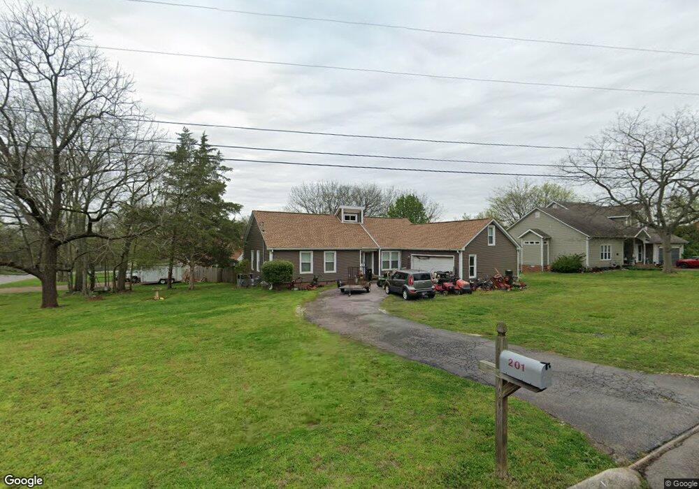
201 Treetop Ct Smyrna, TN 37167
Estimated Value: $333,739 - $397,000
--
Bed
2
Baths
1,626
Sq Ft
$228/Sq Ft
Est. Value
About This Home
This home is located at 201 Treetop Ct, Smyrna, TN 37167 and is currently estimated at $370,935, approximately $228 per square foot. 201 Treetop Ct is a home located in Rutherford County with nearby schools including John Colemon Elementary School, Smyrna Middle School, and Smyrna High School.
Ownership History
Date
Name
Owned For
Owner Type
Purchase Details
Closed on
Jun 18, 1996
Sold by
Cate Johnny M
Bought by
Vanskike and Roberta
Current Estimated Value
Home Financials for this Owner
Home Financials are based on the most recent Mortgage that was taken out on this home.
Original Mortgage
$106,851
Outstanding Balance
$6,858
Interest Rate
8.05%
Estimated Equity
$364,077
Purchase Details
Closed on
Jun 20, 1995
Bought by
Cate Johnny M
Create a Home Valuation Report for This Property
The Home Valuation Report is an in-depth analysis detailing your home's value as well as a comparison with similar homes in the area
Home Values in the Area
Average Home Value in this Area
Purchase History
| Date | Buyer | Sale Price | Title Company |
|---|---|---|---|
| Vanskike | $107,000 | -- | |
| Cate Johnny M | $91,900 | -- |
Source: Public Records
Mortgage History
| Date | Status | Borrower | Loan Amount |
|---|---|---|---|
| Open | Cate Johnny M | $106,851 |
Source: Public Records
Tax History Compared to Growth
Tax History
| Year | Tax Paid | Tax Assessment Tax Assessment Total Assessment is a certain percentage of the fair market value that is determined by local assessors to be the total taxable value of land and additions on the property. | Land | Improvement |
|---|---|---|---|---|
| 2025 | $1,727 | $71,875 | $13,750 | $58,125 |
| 2024 | $1,727 | $71,875 | $13,750 | $58,125 |
| 2023 | $1,727 | $71,875 | $13,750 | $58,125 |
| 2022 | $1,540 | $71,875 | $13,750 | $58,125 |
| 2021 | $1,466 | $50,200 | $8,750 | $41,450 |
| 2020 | $1,466 | $50,200 | $8,750 | $41,450 |
| 2019 | $1,466 | $50,200 | $8,750 | $41,450 |
| 2018 | $1,406 | $50,200 | $0 | $0 |
| 2017 | $1,117 | $31,325 | $0 | $0 |
| 2016 | $1,117 | $31,325 | $0 | $0 |
| 2015 | $1,117 | $31,325 | $0 | $0 |
| 2014 | $779 | $31,325 | $0 | $0 |
| 2013 | -- | $35,175 | $0 | $0 |
Source: Public Records
Map
Nearby Homes
- 206 Treetop Ct
- 421 Keswick Ct
- 500 Dellwood Dr
- 108 Austin Ave
- 1100 Weakley Ln
- 109 Oak Hill Dr
- 124 Laural Hill Dr
- 510 Mckean Dr
- 138 Laural Hill Dr
- 607 Mckean Dr
- 602 Mckean Dr
- 656 Mckean Dr Unit 658
- 351 Jones Mill Rd
- 4084 N Lamar Rd
- 517 Matthew Miller Dr
- 601 Mary Alice Dr
- 103 Chattaroy Ct
- 1655 Ben Johns Rd
- 610 Virginia Belle Dr
- 307 Andy Johns Dr
- 203 Treetop Ct
- 101 Brookfield Ct
- 902 Weakley Ln
- 107 Brookfield Ct
- 104 Brookfield Ct
- 102 Brookfield Ct
- 202 Treetop Ct
- 205 Treetop Ct
- 106 Brookfield Ct
- 100 Brookfield Ct
- 904 Weakley Ln
- 204 Treetop Ct
- 109 Brookfield Ct
- 207 Priest View Dr
- 108 Brookfield Ct
- 209 Priest View Dr
- 303 Timberglen Dr
- 303 Timberglenn Dr
- 806 Weakley Ln
- 211 Priest View Dr