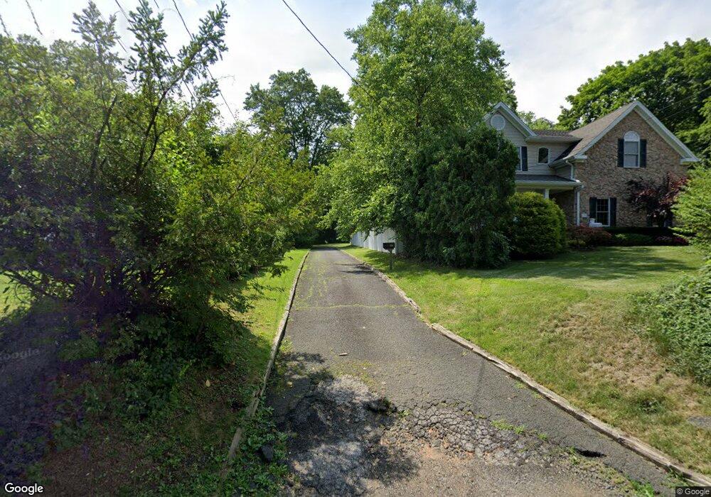
201 Union Ave New Providence, NJ 07974
Estimated Value: $678,000 - $773,067
--
Bed
--
Bath
1,778
Sq Ft
$416/Sq Ft
Est. Value
About This Home
This home is located at 201 Union Ave, New Providence, NJ 07974 and is currently estimated at $740,267, approximately $416 per square foot. 201 Union Ave is a home located in Union County with nearby schools including New Providence High School and The Academy of Our Lady of Peace.
Ownership History
Date
Name
Owned For
Owner Type
Purchase Details
Closed on
Aug 5, 2025
Sold by
Gruendig Marko and Gruendig Sylvia Agnes
Bought by
Lee Evan and Margulies Dana
Current Estimated Value
Purchase Details
Closed on
Dec 17, 2024
Sold by
Braun Elliot Y
Bought by
Botros Adel and Stramka-Botros Carolyn
Purchase Details
Closed on
Jul 28, 1994
Sold by
Digeorge John F and Digeorge Lorraine
Bought by
Hines Bernard Vincent and Hines Daffodil
Create a Home Valuation Report for This Property
The Home Valuation Report is an in-depth analysis detailing your home's value as well as a comparison with similar homes in the area
Home Values in the Area
Average Home Value in this Area
Purchase History
| Date | Buyer | Sale Price | Title Company |
|---|---|---|---|
| Lee Evan | $2,075,000 | Green Hill Title | |
| Botros Adel | $610,000 | Acres Land Title | |
| Hines Bernard Vincent | $260,000 | Chicago Title Insurance Co |
Source: Public Records
Tax History Compared to Growth
Tax History
| Year | Tax Paid | Tax Assessment Tax Assessment Total Assessment is a certain percentage of the fair market value that is determined by local assessors to be the total taxable value of land and additions on the property. | Land | Improvement |
|---|---|---|---|---|
| 2025 | $10,618 | $205,700 | $100,800 | $104,900 |
| 2024 | $10,299 | $205,700 | $100,800 | $104,900 |
| 2023 | $10,299 | $205,700 | $100,800 | $104,900 |
| 2022 | $10,157 | $205,700 | $100,800 | $104,900 |
| 2021 | $10,083 | $205,700 | $100,800 | $104,900 |
| 2020 | $10,079 | $205,700 | $100,800 | $104,900 |
| 2019 | $10,018 | $205,700 | $100,800 | $104,900 |
| 2018 | $9,966 | $205,700 | $100,800 | $104,900 |
| 2017 | $9,804 | $205,700 | $100,800 | $104,900 |
| 2016 | $9,666 | $205,700 | $100,800 | $104,900 |
| 2015 | $9,532 | $205,700 | $100,800 | $104,900 |
| 2014 | $9,388 | $205,700 | $100,800 | $104,900 |
Source: Public Records
Map
Nearby Homes
- 132 Fairview Ave
- 41 Meadowview Ln
- 34 Meadowview Ln
- 19 Guenevere Way Ondo
- 33 Bristol Ct
- 11 Earl Place
- 30 Robbins Ave
- 12 Park Edge
- 66 Evergreen Ave
- 93 Park Edge Unit 3H
- 19 Slope Dr
- 11 Etmore Place
- 43 Kuntz Ave
- 25 Murray Hill Square
- 61 Kuntz Ave
- 126 Snyder Ave
- 16 Terrace Rd
- 36 Terrace Rd
- 46 Snyder Ave
- 63 Snyder Ave