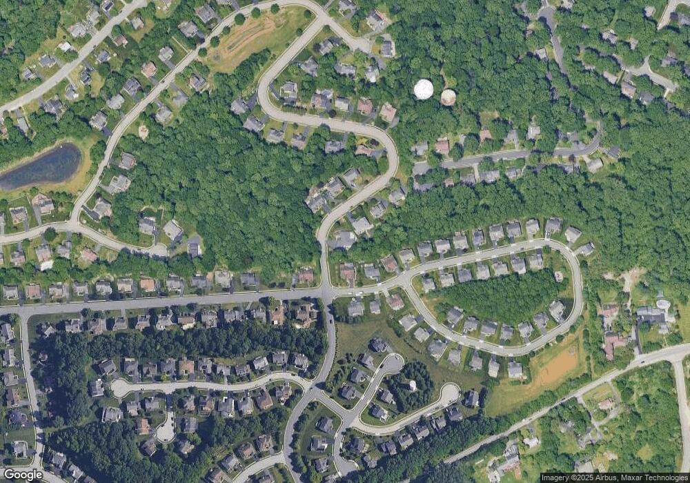
201 University Dr Newark, DE 19713
Estimated Value: $506,074 - $558,000
3
Beds
3
Baths
1,945
Sq Ft
$273/Sq Ft
Est. Value
About This Home
This home is located at 201 University Dr, Newark, DE 19713 and is currently estimated at $530,769, approximately $272 per square foot. 201 University Dr is a home located in New Castle County with nearby schools including West Park Place Elementary School, Shue-Medill Middle School, and Newark High School.
Ownership History
Date
Name
Owned For
Owner Type
Purchase Details
Closed on
Jan 31, 2002
Sold by
Magness Construction Co
Bought by
Salzano D John and Salzano Janet
Current Estimated Value
Home Financials for this Owner
Home Financials are based on the most recent Mortgage that was taken out on this home.
Original Mortgage
$220,000
Outstanding Balance
$91,546
Interest Rate
7.15%
Estimated Equity
$439,223
Create a Home Valuation Report for This Property
The Home Valuation Report is an in-depth analysis detailing your home's value as well as a comparison with similar homes in the area
Home Values in the Area
Average Home Value in this Area
Purchase History
| Date | Buyer | Sale Price | Title Company |
|---|---|---|---|
| Salzano D John | $275,000 | -- |
Source: Public Records
Mortgage History
| Date | Status | Borrower | Loan Amount |
|---|---|---|---|
| Open | Salzano D John | $220,000 |
Source: Public Records
Tax History Compared to Growth
Tax History
| Year | Tax Paid | Tax Assessment Tax Assessment Total Assessment is a certain percentage of the fair market value that is determined by local assessors to be the total taxable value of land and additions on the property. | Land | Improvement |
|---|---|---|---|---|
| 2024 | $4,632 | $112,800 | $18,200 | $94,600 |
| 2023 | $1,347 | $112,800 | $18,200 | $94,600 |
| 2022 | $4,319 | $112,800 | $18,200 | $94,600 |
| 2021 | $2,318 | $112,800 | $18,200 | $94,600 |
| 2020 | $4,200 | $112,800 | $18,200 | $94,600 |
| 2019 | $77 | $111,300 | $18,200 | $93,100 |
| 2018 | $3,540 | $111,300 | $18,200 | $93,100 |
| 2017 | $3,406 | $111,300 | $18,200 | $93,100 |
| 2016 | $3,271 | $111,300 | $18,200 | $93,100 |
| 2015 | $2,947 | $111,300 | $18,200 | $93,100 |
| 2014 | $2,962 | $111,300 | $18,200 | $93,100 |
Source: Public Records
Map
Nearby Homes
- 84 Welsh Tract Rd Unit 311
- 80 Welsh Tract Rd Unit 112
- 80 Welsh Tract Rd Unit 209
- 60 Welsh Tract Rd Unit 206
- 57 Gypsum Dr Unit 195
- 23 Maple Dr Unit 16
- 44 Cornwall Dr
- 12 Pleasantwood Rd
- 22 Buttonbush Ct
- 72 Mule Deer Ct
- 25 Glyn Dr
- 800 Kenyon Ln
- 19 Alwyn Rd
- 14 Apple Ln
- 112 Azalea Cir
- 30 Palo Ln
- 55 Sanford Dr
- 779 Chestnut Hill Rd
- 302 Edjil Dr
- 30 Bobby Dr
- 203 University Dr
- 801 Colorado Dr
- 803 Colorado Dr
- 202 University Dr
- 205 University Dr
- 41 Ohio State Dr
- 805 Colorado Dr
- 204 University Dr
- 807 Colorado Dr
- 206 University Dr
- 800 Colorado Dr
- 802 Colorado Dr
- 37 Ohio State Dr
- 207 University Dr
- 809 Colorado Dr
- 804 Colorado Dr
- 40 Ohio State Dr
- 208 University Dr
- 33 Blue Jay Dr
- 212 University Dr
