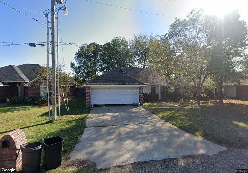
201 Vail Dr Monroe, LA 71203
Estimated Value: $184,000 - $209,000
3
Beds
2
Baths
1,546
Sq Ft
$129/Sq Ft
Est. Value
About This Home
This home is located at 201 Vail Dr, Monroe, LA 71203 and is currently estimated at $199,536, approximately $129 per square foot. 201 Vail Dr is a home located in Ouachita Parish with nearby schools including Swartz Lower Elementary School, Swartz Upper Elementary School, and Ouachita Junior High School.
Ownership History
Date
Name
Owned For
Owner Type
Purchase Details
Closed on
Jul 31, 2006
Sold by
Michael Donald Thomas and Michael Terrell Taylor
Bought by
Buckley James Gordon and Buckley Leanna Adkins
Current Estimated Value
Home Financials for this Owner
Home Financials are based on the most recent Mortgage that was taken out on this home.
Original Mortgage
$137,000
Outstanding Balance
$81,625
Interest Rate
6.62%
Mortgage Type
Unknown
Estimated Equity
$117,911
Create a Home Valuation Report for This Property
The Home Valuation Report is an in-depth analysis detailing your home's value as well as a comparison with similar homes in the area
Home Values in the Area
Average Home Value in this Area
Purchase History
| Date | Buyer | Sale Price | Title Company |
|---|---|---|---|
| Buckley James Gordon | $137,000 | None Available |
Source: Public Records
Mortgage History
| Date | Status | Borrower | Loan Amount |
|---|---|---|---|
| Open | Buckley James Gordon | $137,000 |
Source: Public Records
Tax History Compared to Growth
Tax History
| Year | Tax Paid | Tax Assessment Tax Assessment Total Assessment is a certain percentage of the fair market value that is determined by local assessors to be the total taxable value of land and additions on the property. | Land | Improvement |
|---|---|---|---|---|
| 2024 | $1,625 | $19,105 | $2,200 | $16,905 |
| 2023 | $1,625 | $16,031 | $2,200 | $13,831 |
| 2022 | $2,194 | $16,031 | $2,200 | $13,831 |
| 2021 | $2,212 | $16,031 | $2,200 | $13,831 |
| 2020 | $2,212 | $16,031 | $2,200 | $13,831 |
| 2019 | $1,886 | $13,860 | $1,500 | $12,360 |
| 2018 | $827 | $13,860 | $1,500 | $12,360 |
| 2017 | $1,847 | $13,860 | $1,500 | $12,360 |
| 2016 | $1,802 | $13,860 | $1,500 | $12,360 |
| 2015 | $826 | $13,860 | $1,500 | $12,360 |
| 2014 | $826 | $13,860 | $1,500 | $12,360 |
| 2013 | $824 | $13,860 | $1,500 | $12,360 |
Source: Public Records
Map
Nearby Homes
- 2238 Highway 594
- 119 Daywood Dr
- 202 Daywood Dr
- 63 Forest Dr
- 158 Timberlane Dr
- 120 Donovan Cir
- 204 W Nelson Rd Unit 412 Allen, 413 n 23r
- 30 Lake Dr
- 94 Nelson Rd
- 158 Barbara Dr
- 0 Braebend Dr
- 1870 Highway 594
- 637 Rowland Rd
- 26 Forest Dr
- 15 Chauvin Dr
- 0 Rowland Rd
- 459 Cadillac Dr
- 276 Clayton Dr
- 371 Rowland Dr
- 302 Collinwood Dr