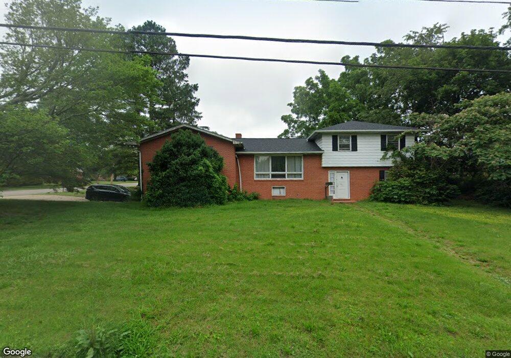
201 Valley Rd Chestertown, MD 21620
Estimated Value: $389,000 - $523,000
6
Beds
4
Baths
--
Sq Ft
17,424
Sq Ft Lot
About This Home
This home is located at 201 Valley Rd, Chestertown, MD 21620 and is currently estimated at $477,800. 201 Valley Rd is a home located in Kent County with nearby schools including Kent County Middle School, Kent County High School, and Chestertown Christian Academy.
Ownership History
Date
Name
Owned For
Owner Type
Purchase Details
Closed on
May 16, 2008
Sold by
Romine Carol A
Bought by
Roderick Philip J
Current Estimated Value
Home Financials for this Owner
Home Financials are based on the most recent Mortgage that was taken out on this home.
Original Mortgage
$213,750
Outstanding Balance
$135,791
Interest Rate
5.94%
Mortgage Type
Purchase Money Mortgage
Estimated Equity
$342,009
Purchase Details
Closed on
May 6, 2008
Sold by
Romine Carol A
Bought by
Roderick Philip J
Home Financials for this Owner
Home Financials are based on the most recent Mortgage that was taken out on this home.
Original Mortgage
$213,750
Outstanding Balance
$135,791
Interest Rate
5.94%
Mortgage Type
Purchase Money Mortgage
Estimated Equity
$342,009
Purchase Details
Closed on
Aug 14, 2001
Sold by
Romine Aubrey L and Romine Mary W
Bought by
Romine Carol A
Create a Home Valuation Report for This Property
The Home Valuation Report is an in-depth analysis detailing your home's value as well as a comparison with similar homes in the area
Home Values in the Area
Average Home Value in this Area
Purchase History
| Date | Buyer | Sale Price | Title Company |
|---|---|---|---|
| Roderick Philip J | $234,000 | -- | |
| Roderick Philip J | $234,000 | -- | |
| Romine Carol A | -- | -- |
Source: Public Records
Mortgage History
| Date | Status | Borrower | Loan Amount |
|---|---|---|---|
| Open | Roderick Philip J | $213,750 | |
| Closed | Roderick Philip J | $213,750 |
Source: Public Records
Tax History
| Year | Tax Paid | Tax Assessment Tax Assessment Total Assessment is a certain percentage of the fair market value that is determined by local assessors to be the total taxable value of land and additions on the property. | Land | Improvement |
|---|---|---|---|---|
| 2025 | $4,738 | $303,100 | $91,900 | $211,200 |
| 2024 | $4,513 | $289,100 | $0 | $0 |
| 2023 | $4,298 | $275,100 | $0 | $0 |
| 2022 | $4,066 | $261,100 | $91,900 | $169,200 |
| 2021 | $4,045 | $259,600 | $0 | $0 |
| 2020 | $4,045 | $258,100 | $0 | $0 |
| 2019 | $4,013 | $256,600 | $101,900 | $154,700 |
| 2018 | $3,984 | $256,367 | $0 | $0 |
| 2017 | $3,852 | $256,133 | $0 | $0 |
| 2016 | -- | $255,900 | $0 | $0 |
| 2015 | $3,563 | $249,567 | $0 | $0 |
| 2014 | $3,563 | $243,233 | $0 | $0 |
Source: Public Records
Map
Nearby Homes
- 201 Greenwood Ave
- 112 Elm St
- 222 Mount Vernon Ave
- 202 Waldo Dr
- 132 Prospect St
- 515 N Kent St
- 139 Prospect St
- 234 N College Ave
- 107 Metcalfe Rd
- 109 Metcalfe Rd
- 112 Metcalf Rd
- 107 Conley Dr
- 201 N Lynchburg St
- 231 Richard Dr
- 104 Flying Cloud Dr
- 107 Oak Leaf Dr
- 109 S College Ave
- 611 Cannon St
- 349 & 351 High St
- 349 High St
Your Personal Tour Guide
Ask me questions while you tour the home.