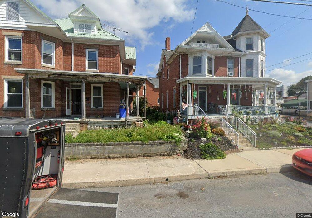
201 W 2nd St Waynesboro, PA 17268
Estimated Value: $211,000 - $225,000
--
Bed
--
Bath
1,716
Sq Ft
$127/Sq Ft
Est. Value
About This Home
This home is located at 201 W 2nd St, Waynesboro, PA 17268 and is currently estimated at $217,243, approximately $126 per square foot. 201 W 2nd St is a home located in Franklin County with nearby schools including Waynesboro Area Senior High School, St. Andrew Catholic School, and Noah's Ark Christian Child Care Center.
Ownership History
Date
Name
Owned For
Owner Type
Purchase Details
Closed on
Dec 17, 2024
Sold by
Cox Timothy A and Cox Katie A
Bought by
Cordell Jamie and Gebhart Kimberly M
Current Estimated Value
Home Financials for this Owner
Home Financials are based on the most recent Mortgage that was taken out on this home.
Original Mortgage
$206,196
Outstanding Balance
$204,574
Interest Rate
6.79%
Mortgage Type
FHA
Estimated Equity
$12,669
Purchase Details
Closed on
May 24, 2005
Sold by
Jackson Alphonso and Secretary Of Housing And Urban
Bought by
Cox Katie A and Cox Timothy A
Home Financials for this Owner
Home Financials are based on the most recent Mortgage that was taken out on this home.
Original Mortgage
$77,600
Interest Rate
5.33%
Mortgage Type
New Conventional
Create a Home Valuation Report for This Property
The Home Valuation Report is an in-depth analysis detailing your home's value as well as a comparison with similar homes in the area
Home Values in the Area
Average Home Value in this Area
Purchase History
| Date | Buyer | Sale Price | Title Company |
|---|---|---|---|
| Cordell Jamie | $210,000 | Buchanan Settlement Services | |
| Cox Katie A | $97,000 | None Available |
Source: Public Records
Mortgage History
| Date | Status | Borrower | Loan Amount |
|---|---|---|---|
| Open | Cordell Jamie | $206,196 | |
| Previous Owner | Cox Katie A | $77,600 |
Source: Public Records
Tax History Compared to Growth
Tax History
| Year | Tax Paid | Tax Assessment Tax Assessment Total Assessment is a certain percentage of the fair market value that is determined by local assessors to be the total taxable value of land and additions on the property. | Land | Improvement |
|---|---|---|---|---|
| 2025 | $2,873 | $15,850 | $800 | $15,050 |
| 2024 | $2,695 | $15,250 | $800 | $14,450 |
| 2023 | $2,636 | $15,250 | $800 | $14,450 |
| 2022 | $2,552 | $15,250 | $800 | $14,450 |
| 2021 | $1,593 | $10,030 | $800 | $9,230 |
| 2020 | $1,581 | $10,030 | $800 | $9,230 |
| 2019 | $1,551 | $10,030 | $800 | $9,230 |
| 2018 | $1,463 | $10,030 | $800 | $9,230 |
| 2017 | $1,435 | $10,030 | $800 | $9,230 |
| 2016 | $287 | $10,030 | $800 | $9,230 |
| 2015 | $268 | $10,030 | $800 | $9,230 |
| 2014 | $268 | $10,030 | $800 | $9,230 |
Source: Public Records
Map
Nearby Homes
- 144 W Main St
- 145 W Main St
- 115 W 2nd St
- 0 Westview Ave
- 25 Fairview Ave
- 101 Fairview Ave
- 208 Hamilton Ave
- 109 Garfield St
- Frankford Plan at Pheasant Run
- Ruby Plan at Pheasant Run
- Pearl Plan at Pheasant Run
- Emerald Plan at Pheasant Run
- Hanover Plan at Pheasant Run
- Avondale Plan at Pheasant Run
- Hamilton Plan at Pheasant Run
- Topaz Plan at Pheasant Run
- Bradford Plan at Pheasant Run
- Sussex Plan at Pheasant Run
- Bristol II Plan at Pheasant Run
- Opal Plan at Pheasant Run