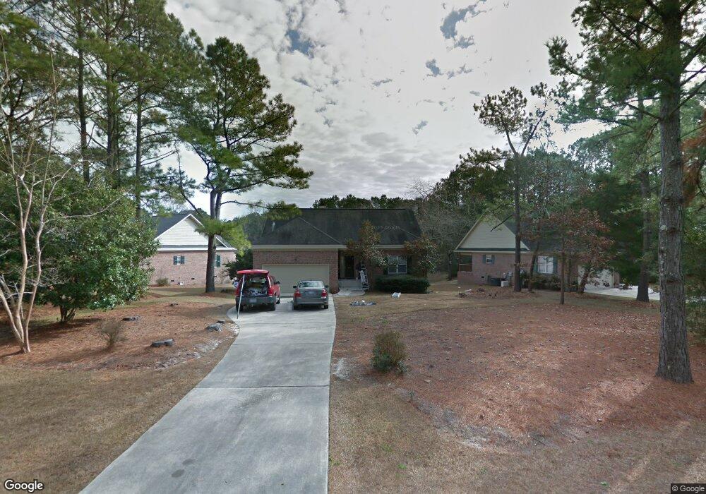
201 W Sanderling Cir Hampstead, NC 28443
Estimated Value: $313,000 - $372,000
2
Beds
2
Baths
1,550
Sq Ft
$214/Sq Ft
Est. Value
About This Home
This home is located at 201 W Sanderling Cir, Hampstead, NC 28443 and is currently estimated at $330,955, approximately $213 per square foot. 201 W Sanderling Cir is a home located in Pender County with nearby schools including Topsail Elementary School, Topsail Middle School, and Topsail High School.
Ownership History
Date
Name
Owned For
Owner Type
Purchase Details
Closed on
Apr 3, 2006
Sold by
Beckwith Kevin J and Beckwith Carris S
Bought by
Schkeeper John Anthony
Current Estimated Value
Home Financials for this Owner
Home Financials are based on the most recent Mortgage that was taken out on this home.
Original Mortgage
$162,000
Outstanding Balance
$90,317
Interest Rate
6.23%
Mortgage Type
New Conventional
Estimated Equity
$240,638
Create a Home Valuation Report for This Property
The Home Valuation Report is an in-depth analysis detailing your home's value as well as a comparison with similar homes in the area
Home Values in the Area
Average Home Value in this Area
Purchase History
| Date | Buyer | Sale Price | Title Company |
|---|---|---|---|
| Schkeeper John Anthony | $247,000 | -- |
Source: Public Records
Mortgage History
| Date | Status | Borrower | Loan Amount |
|---|---|---|---|
| Open | Schkeeper John Anthony | $162,000 |
Source: Public Records
Tax History
| Year | Tax Paid | Tax Assessment Tax Assessment Total Assessment is a certain percentage of the fair market value that is determined by local assessors to be the total taxable value of land and additions on the property. | Land | Improvement |
|---|---|---|---|---|
| 2025 | -- | $312,017 | $51,200 | $260,817 |
| 2024 | $1,887 | $182,364 | $9,500 | $172,864 |
| 2023 | $1,628 | $182,364 | $9,500 | $172,864 |
| 2022 | $1,628 | $182,364 | $9,500 | $172,864 |
| 2021 | $1,628 | $182,364 | $9,500 | $172,864 |
| 2020 | $1,670 | $174,211 | $9,500 | $164,711 |
| 2019 | $1,560 | $174,211 | $9,500 | $164,711 |
| 2018 | $1,480 | $144,447 | $8,750 | $135,697 |
| 2017 | $1,480 | $144,447 | $8,750 | $135,697 |
| 2016 | $1,356 | $144,447 | $8,750 | $135,697 |
| 2015 | $1,431 | $144,447 | $8,750 | $135,697 |
| 2014 | $1,140 | $144,447 | $8,750 | $135,697 |
| 2013 | -- | $144,447 | $8,750 | $135,697 |
| 2012 | -- | $144,447 | $8,750 | $135,697 |
Source: Public Records
Map
Nearby Homes
- 508 Sanderling Ct Unit Lot 337
- 20 W High Bluff Dr
- 104 W High Bluff Dr
- 753 Crown Pointe Dr
- Lot 35 E High Bluff Dr
- 1061 Crown Pointe Dr
- Lot 46 Crown Pointe Dr
- Lot 50 Crown Pointe Dr
- Lot 48 Crown Pointe Dr
- Lot 42 Crown Pointe Dr
- Lot 45 Crown Pointe Dr
- Lot 9 Bay Harbor Dr
- 135 E High Bluff Dr
- 116 Mansfield Ct
- 102 Osprey Nest
- 13 E Cannon Cove
- 814 Wildwood Cir
- 808 Wildwood Cir
- 400 Camden Trail
- 800 Wildwood Cir
- 100 E Sanderling Cir
- 203 W Sanderling Cir
- 81 Stratford Place
- 101 Sanderling Ln
- 118 E Sanderling Cir
- 116 Stratford Place
- 204 W Sanderling Cir
- 123 Stratford Place
- 202 W Sanderling Cir
- 103 E Sanderling Cir
- Lot 82 Stratford Place
- 105 E Sanderling Cir
- 98 Stratford Place
- 100 Sanderling Ln
- 106 E Sanderling Cir
- 108 E Sanderling Cir
- 114 E Sanderling Cir
- 101 Berkshire Ln
- 1355 Royal Tern Dr
- 110 E Sanderling Cir
Your Personal Tour Guide
Ask me questions while you tour the home.