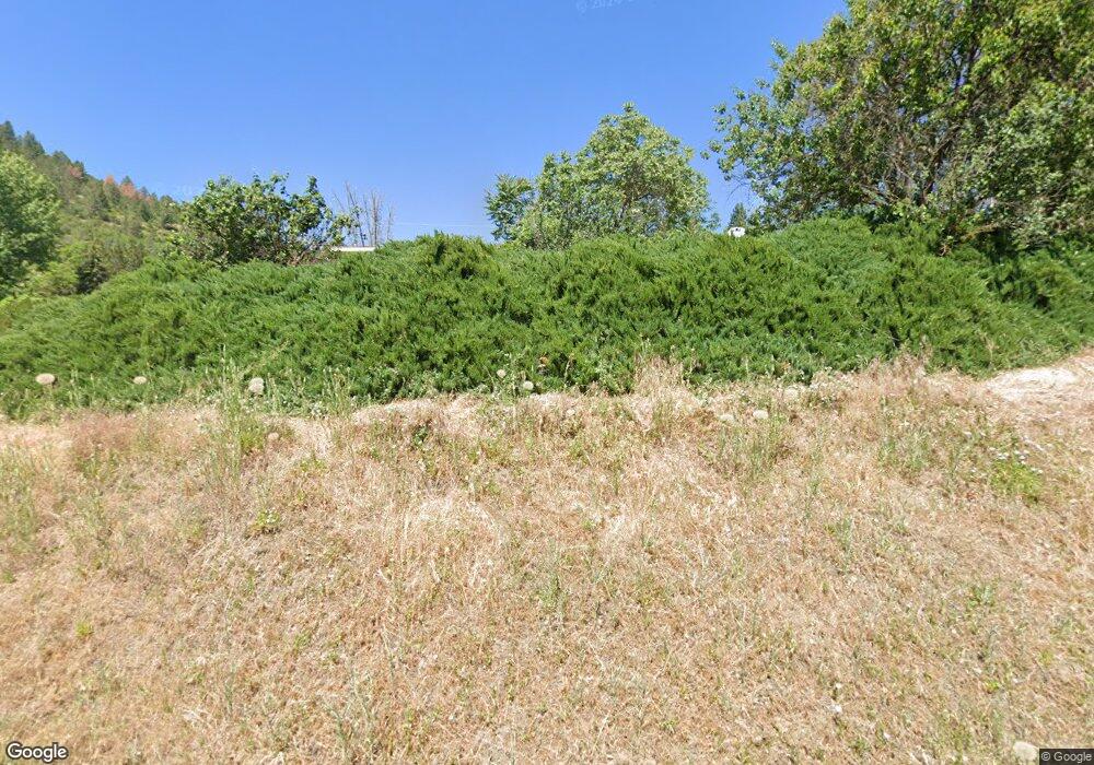
201 Ward St Juliaetta, ID 83535
Estimated Value: $391,000 - $409,871
--
Bed
--
Bath
--
Sq Ft
8,973
Sq Ft Lot
About This Home
This home is located at 201 Ward St, Juliaetta, ID 83535 and is currently estimated at $397,218. 201 Ward St is a home located in Latah County with nearby schools including Juliaetta Elementary School and Kendrick Junior/Senior High School.
Ownership History
Date
Name
Owned For
Owner Type
Purchase Details
Closed on
Nov 22, 2024
Sold by
Domaskin Michael and Domaskin Nora
Bought by
Hunsaker Tyson and Hunsaker Amy
Current Estimated Value
Home Financials for this Owner
Home Financials are based on the most recent Mortgage that was taken out on this home.
Original Mortgage
$399,000
Outstanding Balance
$399,000
Interest Rate
6.44%
Mortgage Type
VA
Estimated Equity
-$74,007
Purchase Details
Closed on
Jan 19, 2022
Sold by
Zana Sherman
Bought by
Domaskin Michael and Domaskin Nora
Purchase Details
Closed on
Jul 6, 2020
Sold by
Loo Edwin L and Loo Thelma E
Bought by
Domaskin Michael and Domaskin Nora
Home Financials for this Owner
Home Financials are based on the most recent Mortgage that was taken out on this home.
Original Mortgage
$225,788
Interest Rate
3.2%
Mortgage Type
VA
Create a Home Valuation Report for This Property
The Home Valuation Report is an in-depth analysis detailing your home's value as well as a comparison with similar homes in the area
Home Values in the Area
Average Home Value in this Area
Purchase History
| Date | Buyer | Sale Price | Title Company |
|---|---|---|---|
| Hunsaker Tyson | -- | Moscow Title | |
| Domaskin Michael | -- | Alliance Title | |
| Domaskin Michael | -- | Latah County Title Co |
Source: Public Records
Mortgage History
| Date | Status | Borrower | Loan Amount |
|---|---|---|---|
| Open | Hunsaker Tyson | $399,000 | |
| Previous Owner | Domaskin Michael | $329,000 | |
| Previous Owner | Domaskin Michael | $225,788 | |
| Previous Owner | Loo Edwin L | $100,000 |
Source: Public Records
Tax History Compared to Growth
Tax History
| Year | Tax Paid | Tax Assessment Tax Assessment Total Assessment is a certain percentage of the fair market value that is determined by local assessors to be the total taxable value of land and additions on the property. | Land | Improvement |
|---|---|---|---|---|
| 2024 | $1,644 | $278,668 | $30,100 | $248,568 |
| 2023 | $1,565 | $278,668 | $30,100 | $248,568 |
| 2022 | $1,672 | $226,732 | $27,405 | $199,327 |
| 2021 | $2,631 | $226,732 | $27,405 | $199,327 |
| 2020 | $3,921 | $225,427 | $26,100 | $199,327 |
| 2019 | $2,754 | $143,700 | $26,100 | $117,600 |
| 2018 | $2,823 | $143,700 | $26,100 | $117,600 |
| 2017 | $2,906 | $143,700 | $26,100 | $117,600 |
| 2016 | $2,916 | $0 | $0 | $0 |
| 2014 | $2,940 | $147,131 | $26,100 | $121,031 |
Source: Public Records
Map
Nearby Homes
- 305 3rd St
- 207 State St
- 164 State St
- 27406 Gem Ln
- 15757 McGary Grade Rd
- 1647 State Highway 3
- 29123 N Juliaetta Grade
- 701 Wheeler St
- TBD Sperry Grade Rd
- 408 E Main St
- 301 E B St
- 32178 South Rd
- 33757 Southwick Rd
- 31032 Thunderbird Dr
- 20608 Colter Creek Ln
- NKA Clearwater Ridge Dr
- 0 Nka Clearwater Ridge Dr
- 19225 Arabian Ln
- NKA Clearwater Ridge Dr
- 33818 North Rd
