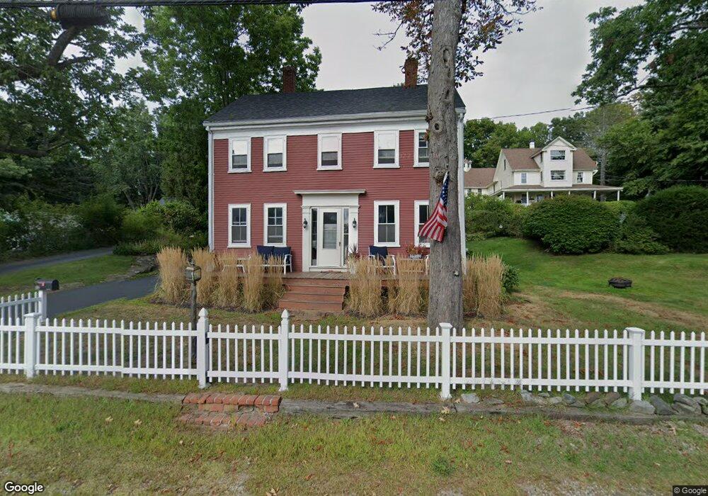
201 Whipple Rd Kittery, ME 03904
Estimated Value: $506,701 - $640,000
3
Beds
2
Baths
1,500
Sq Ft
$379/Sq Ft
Est. Value
About This Home
This home is located at 201 Whipple Rd, Kittery, ME 03904 and is currently estimated at $567,925, approximately $378 per square foot. 201 Whipple Rd is a home located in York County with nearby schools including Horace Mitchell Primary School, Shapleigh School, and Robert W Traip Academy.
Ownership History
Date
Name
Owned For
Owner Type
Purchase Details
Closed on
Jan 21, 2021
Sold by
Svenson Mark C and Svenson Tammy P
Bought by
Svenson Ft
Current Estimated Value
Home Financials for this Owner
Home Financials are based on the most recent Mortgage that was taken out on this home.
Original Mortgage
$210,500
Interest Rate
3.05%
Mortgage Type
Purchase Money Mortgage
Purchase Details
Closed on
Mar 1, 2007
Sold by
Mangiafico Joseph V and Mangiafico Jeanne M
Bought by
Svenson Tammy P and Svenson Mark C
Home Financials for this Owner
Home Financials are based on the most recent Mortgage that was taken out on this home.
Original Mortgage
$272,000
Interest Rate
6.27%
Mortgage Type
Unknown
Create a Home Valuation Report for This Property
The Home Valuation Report is an in-depth analysis detailing your home's value as well as a comparison with similar homes in the area
Home Values in the Area
Average Home Value in this Area
Purchase History
| Date | Buyer | Sale Price | Title Company |
|---|---|---|---|
| Svenson Ft | -- | None Available | |
| Svenson Tammy P | -- | -- |
Source: Public Records
Mortgage History
| Date | Status | Borrower | Loan Amount |
|---|---|---|---|
| Previous Owner | Svenson Ft | $210,500 | |
| Previous Owner | Svenson Tammy P | $268,497 | |
| Previous Owner | Svenson Tammy P | $272,000 | |
| Previous Owner | Svenson Tammy P | $51,000 |
Source: Public Records
Tax History Compared to Growth
Tax History
| Year | Tax Paid | Tax Assessment Tax Assessment Total Assessment is a certain percentage of the fair market value that is determined by local assessors to be the total taxable value of land and additions on the property. | Land | Improvement |
|---|---|---|---|---|
| 2024 | $4,570 | $321,800 | $162,800 | $159,000 |
| 2023 | $4,380 | $321,800 | $162,800 | $159,000 |
| 2022 | $4,330 | $321,200 | $162,800 | $158,400 |
| 2021 | $4,178 | $321,400 | $163,000 | $158,400 |
| 2020 | $4,146 | $321,400 | $163,000 | $158,400 |
| 2019 | $3,844 | $220,900 | $97,300 | $123,600 |
| 2018 | $3,342 | $220,900 | $97,300 | $123,600 |
| 2017 | $2,679 | $220,900 | $97,300 | $123,600 |
| 2016 | $3,541 | $220,600 | $97,300 | $123,300 |
| 2015 | $3,457 | $220,600 | $97,300 | $123,300 |
| 2014 | $3,424 | $220,600 | $97,300 | $123,300 |
| 2013 | $3,358 | $220,600 | $97,300 | $123,300 |
Source: Public Records
Map
Nearby Homes
- 205 Whipple Rd
- 12 Gillis Dr Unit 3
- 116 Whipple Rd
- 72 Pepperrell Rd
- 17 Elm Ct
- 15 Atkinson St
- 10-12 Pine St
- 14 Colonial Ln
- 299 Haley Rd
- 24 Seabreeze Ln
- 8 Spruce Point Rd
- 132 Pepperrell Rd
- 175 Wentworth Rd
- 165 Rogers Rd
- 18 Mainmast Cir
- 15 Foyes Ln
- 100 Shepards Cove Rd Unit F204
- 100 Shepards Cove Rd Unit G204
- 58 Foyes Ln
- 8 Water St Unit 2