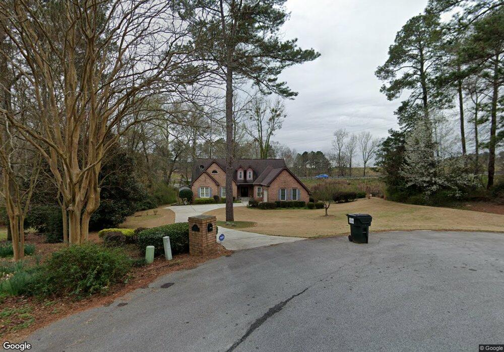
201 Whitesand Bay Dr Stockbridge, GA 30281
Estimated Value: $444,377 - $466,000
4
Beds
4
Baths
3,265
Sq Ft
$138/Sq Ft
Est. Value
About This Home
This home is located at 201 Whitesand Bay Dr, Stockbridge, GA 30281 and is currently estimated at $452,094, approximately $138 per square foot. 201 Whitesand Bay Dr is a home located in Henry County with nearby schools including Red Oak Elementary School, Dutchtown Middle School, and Dutchtown High School.
Ownership History
Date
Name
Owned For
Owner Type
Purchase Details
Closed on
Feb 29, 2008
Sold by
Barron John E and Barron Sharon A
Bought by
Aamir Humaira
Current Estimated Value
Home Financials for this Owner
Home Financials are based on the most recent Mortgage that was taken out on this home.
Original Mortgage
$263,150
Outstanding Balance
$160,707
Interest Rate
5.46%
Mortgage Type
New Conventional
Estimated Equity
$291,387
Purchase Details
Closed on
Jun 30, 1999
Sold by
Koppar Corp
Bought by
Barron John E and Barron Sharon A
Home Financials for this Owner
Home Financials are based on the most recent Mortgage that was taken out on this home.
Original Mortgage
$172,800
Interest Rate
7.23%
Mortgage Type
New Conventional
Create a Home Valuation Report for This Property
The Home Valuation Report is an in-depth analysis detailing your home's value as well as a comparison with similar homes in the area
Home Values in the Area
Average Home Value in this Area
Purchase History
| Date | Buyer | Sale Price | Title Company |
|---|---|---|---|
| Aamir Humaira | $277,000 | -- | |
| Barron John E | $216,000 | -- |
Source: Public Records
Mortgage History
| Date | Status | Borrower | Loan Amount |
|---|---|---|---|
| Open | Aamir Humaira | $263,150 | |
| Previous Owner | Barron John E | $172,800 |
Source: Public Records
Tax History Compared to Growth
Tax History
| Year | Tax Paid | Tax Assessment Tax Assessment Total Assessment is a certain percentage of the fair market value that is determined by local assessors to be the total taxable value of land and additions on the property. | Land | Improvement |
|---|---|---|---|---|
| 2025 | $7,179 | $181,596 | $18,000 | $163,596 |
| 2024 | $7,179 | $177,560 | $18,000 | $159,560 |
| 2023 | $7,188 | $171,400 | $14,000 | $157,400 |
| 2022 | $5,377 | $137,760 | $14,000 | $123,760 |
| 2021 | $4,364 | $111,360 | $14,000 | $97,360 |
| 2020 | $4,312 | $110,000 | $12,000 | $98,000 |
| 2019 | $4,100 | $104,480 | $12,000 | $92,480 |
| 2018 | $4,064 | $103,520 | $12,000 | $91,520 |
| 2016 | $3,441 | $87,280 | $9,680 | $77,600 |
| 2015 | $3,127 | $76,720 | $7,920 | $68,800 |
| 2014 | $2,973 | $71,960 | $7,920 | $64,040 |
Source: Public Records
Map
Nearby Homes
- 520 Monarch Lake Way
- 540 Anglewood Trace
- 623 Brookwater Dr
- 3272 S Bay Dr
- 0 S Bay Dr Unit 7644005
- 0 S Bay Dr Unit 10591885
- 602 Brookwater Dr
- 3258 S Bay Dr
- 687 Pathwood Ln
- 266 Monarch Village Way
- 223 Monarch Village Way
- 9055 Kelly Ct
- 3916 Champagne Dr
- 591 Creek Valley Ct
- 3031 Walt Stephens Rd
- 9056 Chestnut Lake Dr
- 3024 Emerald Dr
- 3102 Walt Stephens Rd
- 3006 Emerald Dr
- 117 Titan Rd
- 0 Blackhall Rd Unit 8561034
- 0 Blackhall Rd
- 211 Whitesand Bay Dr Unit 3
- 200 Whitesand Bay Dr
- 200 Whitesand Bay Dr Unit III
- 221 Whitesand Bay Dr Unit 3/15
- 221 Whitesand Bay Dr
- 10 Devon Ct Unit 3
- 20 Devon Ct Unit 10
- 20 Devon Ct Unit III
- 587 Serene Waters Trail
- 583 Serene Waters Trail
- 579 Serene Waters Trail
- 241 Whitesand Bay Dr
- 575 Serene Waters Trail
- 11 Devon Ct
- 11 Devon Ct Unit 3
- 571 Serene Waters Trail
- 230 Whitesand Bay Dr
- 567 Serene Waters Trail