201 Wildcat Trail SW Shellsburg, IA 52332
Estimated Value: $234,894 - $283,000
2
Beds
2
Baths
1,333
Sq Ft
$200/Sq Ft
Est. Value
About This Home
This home is located at 201 Wildcat Trail SW, Shellsburg, IA 52332 and is currently estimated at $266,474, approximately $199 per square foot. 201 Wildcat Trail SW is a home located in Benton County with nearby schools including Shellsburg Elementary School, Vinton-Shellsburg Middle School, and McDaniel Learning Center.
Ownership History
Date
Name
Owned For
Owner Type
Purchase Details
Closed on
Oct 3, 2014
Sold by
Even Steven Lee and Even Susan Diane
Bought by
Busenbark Thomas and Busenbark Wilma
Current Estimated Value
Create a Home Valuation Report for This Property
The Home Valuation Report is an in-depth analysis detailing your home's value as well as a comparison with similar homes in the area
Home Values in the Area
Average Home Value in this Area
Purchase History
| Date | Buyer | Sale Price | Title Company |
|---|---|---|---|
| Busenbark Thomas | $174,875 | None Available |
Source: Public Records
Tax History Compared to Growth
Tax History
| Year | Tax Paid | Tax Assessment Tax Assessment Total Assessment is a certain percentage of the fair market value that is determined by local assessors to be the total taxable value of land and additions on the property. | Land | Improvement |
|---|---|---|---|---|
| 2025 | $2,932 | $195,100 | $0 | $195,100 |
| 2024 | $2,932 | $199,600 | $23,000 | $176,600 |
| 2023 | $3,290 | $199,600 | $23,000 | $176,600 |
| 2022 | $3,248 | $177,800 | $18,400 | $159,400 |
| 2021 | $3,248 | $177,800 | $18,400 | $159,400 |
| 2020 | $2,950 | $160,700 | $19,900 | $140,800 |
| 2019 | $2,930 | $160,700 | $19,900 | $140,800 |
| 2018 | $2,816 | $159,500 | $18,700 | $140,800 |
| 2017 | $2,844 | $159,500 | $18,700 | $140,800 |
| 2016 | $2,782 | $153,400 | $18,000 | $135,400 |
| 2015 | $2,782 | $153,400 | $18,000 | $135,400 |
| 2014 | $3,030 | $162,300 | $0 | $0 |
Source: Public Records
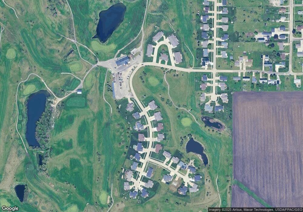
Map
Nearby Homes
- 301 Wildcat Ct
- 700 Sunset Blvd
- 804 Fairway Dr
- 404 Main St NW
- 105 Meadow Dr
- 103 Meadow Dr
- 6127 32nd Ave Unit Lot 3
- 101 Meadow Dr
- 205 Grove St NW
- 201 Grove St NW
- 6240 33rd Avenue Dr
- 0 31st Ave
- 2573 Linn Benton Rd
- 2773 Ridgeview Dr
- 810 Indigo Dr
- 737 Indigo Dr
- 818 Indigo Dr
- 819 Indigo Dr
- 827 Indigo Dr
- 803 Indigo Dr
- 203 Wildcat Trail SW
- 200 Wildcat Trail SW
- 202 Wildcat Trail SW
- 205 Wildcat Trail SW
- 204 Wildcat Trail SW
- 209 Wildcat Trail SW
- 207 Wildcat Trail SW
- 100 Wildcat Trail SW
- 206 Wildcat Trail SW
- 90 Wildcat Trail SW
- 92 Wildcat Trail SW
- 222 Golfview Ct
- 208 Wildcat Trail SW
- 216 Golfview Ct
- 213 Wildcat Trail SW
- 304 Maxwell Ct SW
- 300 Wildcat Ct
- 210 Golfview Ct
- 302 Maxwell Ct SW
- 401 Eagle Ct