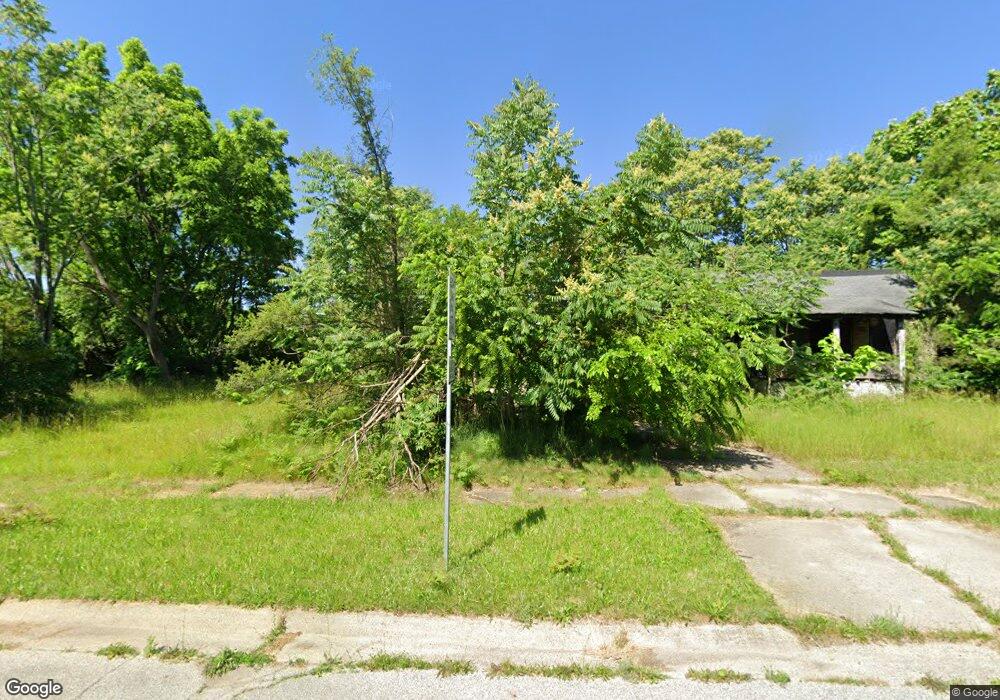
2010 Beach St Flint, MI 48503
Southside Business District NeighborhoodEstimated Value: $13,956 - $75,000
3
Beds
1
Bath
924
Sq Ft
$45/Sq Ft
Est. Value
About This Home
This home is located at 2010 Beach St, Flint, MI 48503 and is currently estimated at $41,985, approximately $45 per square foot. 2010 Beach St is a home located in Genesee County with nearby schools including Freeman Elementary School, Flint Southwestern Classical Academy, and International Academy of Flint (K-12).
Ownership History
Date
Name
Owned For
Owner Type
Purchase Details
Closed on
Dec 20, 2022
Sold by
Genesee County Treasurer
Bought by
Genesee County Land Bank Authority
Current Estimated Value
Purchase Details
Closed on
Mar 26, 2015
Sold by
The Genesee County Land Bank Authority
Bought by
Lyons Victoria
Purchase Details
Closed on
Dec 22, 2014
Sold by
Genesee County Treasurer
Bought by
Genesee County Land Bank
Purchase Details
Closed on
Dec 22, 2010
Sold by
Johnson Karen Y
Bought by
Lyons Audrey M
Purchase Details
Closed on
Mar 1, 2002
Sold by
Johnson Michael E and Estate Of Sherman Johnson Sr
Bought by
Johnson Karen
Create a Home Valuation Report for This Property
The Home Valuation Report is an in-depth analysis detailing your home's value as well as a comparison with similar homes in the area
Home Values in the Area
Average Home Value in this Area
Purchase History
| Date | Buyer | Sale Price | Title Company |
|---|---|---|---|
| Genesee County Land Bank Authority | -- | -- | |
| Lyons Victoria | $3,000 | None Available | |
| Genesee County Land Bank | -- | None Available | |
| Lyons Audrey M | $6,000 | Centennial Title Ins Agency | |
| Johnson Karen | -- | -- |
Source: Public Records
Mortgage History
| Date | Status | Borrower | Loan Amount |
|---|---|---|---|
| Closed | Lyons Victoria | $0 |
Source: Public Records
Tax History Compared to Growth
Tax History
| Year | Tax Paid | Tax Assessment Tax Assessment Total Assessment is a certain percentage of the fair market value that is determined by local assessors to be the total taxable value of land and additions on the property. | Land | Improvement |
|---|---|---|---|---|
| 2025 | -- | $0 | $0 | $0 |
| 2024 | -- | $0 | $0 | $0 |
| 2023 | -- | $0 | $0 | $0 |
| 2022 | $0 | $7,500 | $0 | $0 |
| 2021 | $563 | $5,700 | $0 | $0 |
| 2020 | $522 | $7,100 | $0 | $0 |
| 2019 | $518 | $6,600 | $0 | $0 |
| 2018 | $902 | $7,000 | $0 | $0 |
| 2017 | $839 | $0 | $0 | $0 |
| 2016 | $475 | $0 | $0 | $0 |
| 2015 | -- | $0 | $0 | $0 |
| 2014 | -- | $0 | $0 | $0 |
| 2012 | -- | $6,800 | $0 | $0 |
Source: Public Records
Map
Nearby Homes
- 517 Morley Ave
- 420 Pingree Ave
- 639 Monroe St
- 647 Monroe St
- 2050 Ferris Ave
- 133 E Oakley St
- 1517 Tacoma St
- 1511 Tacoma St
- 2121 Dwight Ave
- 2224 Crocker Ave
- 2010 Crocker Ave
- 618 Barrie Ave
- 2221 Howard Ave
- 812 Remington Ave
- 657 Barrie Ave
- 734 Barrie Ave
- 2029 Aitken Ave
- 1110 Pingree Ave
- 741 Barrie Ave
- 842 Ossington Ave