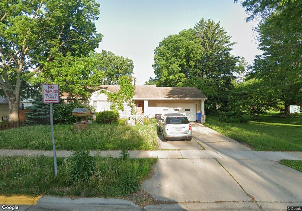
2010 Bristol St Middleton, WI 53562
Sak's Woods NeighborhoodEstimated Value: $290,000 - $425,000
Studio
--
Bath
--
Sq Ft
9,235
Sq Ft Lot
About This Home
This home is located at 2010 Bristol St, Middleton, WI 53562 and is currently estimated at $332,942. 2010 Bristol St is a home located in Dane County with nearby schools including Sauk Trail Elementary School, Kromrey Middle School, and Middleton High School.
Ownership History
Date
Name
Owned For
Owner Type
Purchase Details
Closed on
Dec 19, 2025
Sold by
Acker Darrell D
Bought by
Maier Corrin and Maier Scott
Current Estimated Value
Home Financials for this Owner
Home Financials are based on the most recent Mortgage that was taken out on this home.
Original Mortgage
$200,000
Outstanding Balance
$199,912
Interest Rate
10%
Mortgage Type
New Conventional
Estimated Equity
$133,030
Purchase Details
Closed on
May 4, 2016
Sold by
Acker Patricia J
Bought by
Acker Darell D
Purchase Details
Closed on
Oct 29, 2008
Sold by
Acker Patricia J
Bought by
Acker Patricia J
Create a Home Valuation Report for This Property
The Home Valuation Report is an in-depth analysis detailing your home's value as well as a comparison with similar homes in the area
Home Values in the Area
Average Home Value in this Area
Purchase History
| Date | Buyer | Sale Price | Title Company |
|---|---|---|---|
| Maier Corrin | $295,000 | Knight Barry Title | |
| Acker Darell D | $233,000 | Attorney | |
| Acker Patricia J | -- | None Available |
Source: Public Records
Mortgage History
| Date | Status | Borrower | Loan Amount |
|---|---|---|---|
| Open | Maier Corrin | $200,000 |
Source: Public Records
Tax History
| Year | Tax Paid | Tax Assessment Tax Assessment Total Assessment is a certain percentage of the fair market value that is determined by local assessors to be the total taxable value of land and additions on the property. | Land | Improvement |
|---|---|---|---|---|
| 2025 | $6,793 | $371,000 | $117,300 | $253,700 |
| 2024 | $6,923 | $371,000 | $117,300 | $253,700 |
| 2023 | $6,423 | $371,000 | $117,300 | $253,700 |
| 2022 | $6,348 | $371,000 | $117,300 | $253,700 |
| 2021 | $5,206 | $269,900 | $108,300 | $161,600 |
| 2020 | $5,306 | $269,900 | $108,300 | $161,600 |
| 2019 | $4,988 | $269,900 | $108,300 | $161,600 |
| 2018 | $4,599 | $269,900 | $108,300 | $161,600 |
| 2017 | $4,580 | $232,600 | $86,500 | $146,100 |
| 2016 | $4,539 | $232,600 | $86,500 | $146,100 |
| 2015 | $4,648 | $232,600 | $86,500 | $146,100 |
| 2014 | $4,544 | $215,200 | $68,300 | $146,900 |
| 2013 | $4,021 | $215,200 | $68,300 | $146,900 |
Source: Public Records
Map
Nearby Homes
- 7240 Maywood Ave
- 0 Parmenter St Unit 2009257
- 7777 Elmwood Ave Unit 201
- 6829 Cooper Ave
- 6644 Columbus Dr
- 1626 Meadow Crest Ln
- 7106 Fortune Dr Unit 1
- 7106 Fortune Dr Unit 23
- 7013 Cardinal Dr
- 7009 Fortune Dr
- 1030 Rooster Run Unit 19
- 2564 Branch St Unit 12
- 1426 N Westfield Rd
- 1502 Grosse Point Dr
- 6741 Frank Lloyd Wright Ave Unit 200
- 6767 Frank Lloyd Wright Ave Unit 108
- 1525 Windfield Way
- 6754 Frank Lloyd Wright Ave
- 7402 Longmeadow Rd
- 1321 Stratford Ct
- 2020 Bristol St
- 7306 University Ave
- 2004 Bristol St
- 7312 University Ave
- 7318 University Ave
- 7315 Franklin Ave
- 2001 Bristol St
- 2011 Bristol St
- 7311 Franklin Ave
- 7324 University Ave
- 2030 Bristol St
- 2017 Bristol St
- 7321 Franklin Ave
- 2021 Bristol St
- 7226 University Ave
- 2015 Middleton St
- 2019 Middleton St
- 7303 University Ave
- 7330 University Ave
- 7311 University Ave
Your Personal Tour Guide
Ask me questions while you tour the home.