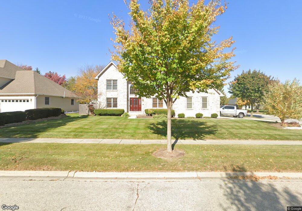
2010 Carlisle St Algonquin, IL 60102
Algonquin AreaEstimated Value: $467,000 - $530,000
About This Home
This home is located at 2010 Carlisle St, Algonquin, IL 60102 and is currently estimated at $500,241, approximately $172 per square foot. 2010 Carlisle St is a home located in McHenry County with nearby schools including Kenneth E Neubert Elementary School, Harry D Jacobs High School, and St Margaret Mary Catholic School.
Ownership History
We collect this data history from publicly available records. To have your information removed, we recommend requesting removal directly through your county’s website.
Purchase Details
Purchase Details
Purchase History
We collect this data history from publicly available records. To have your information removed, we recommend requesting removal directly through your county’s website.
| Date | Buyer | Sale Price | Title Company |
|---|---|---|---|
| -- | None Available | ||
| $246,000 | Attorneys Natl Title Network |
Mortgage History
We collect this data history from publicly available records. To have your information removed, we recommend requesting removal directly through your county’s website.
| Date | Status | Borrower | Loan Amount |
|---|---|---|---|
| Open | $150,500 | ||
| Closed | $40,000 | ||
| Closed | $185,000 | ||
| Closed | $201,000 |
Tax History
We collect this data history from publicly available records. To have your information removed, we recommend requesting removal directly through your county’s website.
| Year | Tax Paid | Tax Assessment Tax Assessment Total Assessment is a certain percentage of the fair market value that is determined by local assessors to be the total taxable value of land and additions on the property. | Land | Improvement |
|---|---|---|---|---|
| 2024 | $11,910 | $168,251 | $35,048 | $133,203 |
| 2023 | $11,257 | $150,479 | $31,346 | $119,133 |
| 2022 | $9,617 | $123,137 | $38,258 | $84,879 |
| 2021 | $9,647 | $114,717 | $35,642 | $79,075 |
| 2020 | $9,397 | $110,656 | $34,380 | $76,276 |
| 2019 | $10,480 | $120,128 | $32,906 | $87,222 |
| 2018 | $10,006 | $110,973 | $30,398 | $80,575 |
| 2017 | $9,813 | $104,544 | $28,637 | $75,907 |
| 2016 | $9,680 | $98,053 | $26,859 | $71,194 |
| 2013 | -- | $80,091 | $25,055 | $55,036 |
Map
- 1405 Darlington Ct
- 14 Dellwood Ct Unit 4206
- 1713 Edgewood Dr
- 1111 Saint Andrews Ct Unit 282
- 1811 Waverly Ln
- 1721 Dorchester Ave
- 20 Arbordale Ct Unit 4273
- 750 Majestic Dr
- 1940 Waverly Ln
- 1831 Haverford Dr
- 1 Regal Ct
- 2035 Waverly Ln Unit 2035
- 1610 Hartley Dr
- 2071 Waverly Ln Unit 4391
- 1661 Kensington Dr
- 11905 Kingston Place
- 731 Roaring Brook Ln
- 1181 Glenmont St
- 1071 Glenmont St
- 1187 Glenmont St
- 2030 Carlisle St
- 2011 Tunbridge Trail
- 2050 Carlisle St
- 2021 Tunbridge Trail
- 1385 Stonegate Rd
- 1405 Stonegate Rd
- 2031 Carlisle St
- 2001 Tunbridge Ct
- 2031 Tunbridge Trail
- 2070 Carlisle St
- 2070 Carlisle St
- 2071 Carlisle St
- 1415 Stonegate Rd
- 2041 Tunbridge Trail
- 1991 Tunbridge Ct
- 2041 Tunbridge Trail
- 2091 Carlisle St
- 1380 Darlington Ct
- 1400 Darlington Ct
- 2090 Carlisle St
Ask me questions while you tour the home.