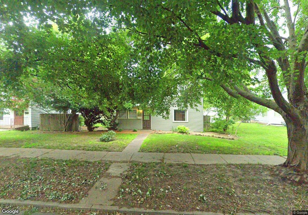
2010 Farnam St Davenport, IA 52803
Near North Side NeighborhoodEstimated Value: $127,392 - $196,000
2
Beds
1
Bath
1,353
Sq Ft
$111/Sq Ft
Est. Value
About This Home
This home is located at 2010 Farnam St, Davenport, IA 52803 and is currently estimated at $150,598, approximately $111 per square foot. 2010 Farnam St is a home located in Scott County with nearby schools including Crofton Elementary School, Casey County Middle School, and Hopkinsville Middle School.
Ownership History
Date
Name
Owned For
Owner Type
Purchase Details
Closed on
Jan 20, 2023
Sold by
Simmering Michael and Simmering Nicole
Bought by
N & M Properties
Current Estimated Value
Purchase Details
Closed on
Sep 17, 2013
Sold by
Simmering Michael and Simmering Nicole
Bought by
N & M Properties Llc
Create a Home Valuation Report for This Property
The Home Valuation Report is an in-depth analysis detailing your home's value as well as a comparison with similar homes in the area
Home Values in the Area
Average Home Value in this Area
Purchase History
| Date | Buyer | Sale Price | Title Company |
|---|---|---|---|
| N & M Properties | -- | None Listed On Document | |
| N & M Properties Llc | -- | None Available |
Source: Public Records
Tax History Compared to Growth
Tax History
| Year | Tax Paid | Tax Assessment Tax Assessment Total Assessment is a certain percentage of the fair market value that is determined by local assessors to be the total taxable value of land and additions on the property. | Land | Improvement |
|---|---|---|---|---|
| 2025 | $2,078 | $130,340 | $34,850 | $95,490 |
| 2024 | $2,028 | $116,320 | $34,850 | $81,470 |
| 2023 | $1,766 | $116,320 | $34,850 | $81,470 |
| 2022 | $1,774 | $82,680 | $26,930 | $55,750 |
| 2021 | $1,774 | $82,680 | $26,930 | $55,750 |
| 2020 | $1,790 | $82,350 | $26,930 | $55,420 |
| 2019 | $1,848 | $82,350 | $26,930 | $55,420 |
| 2018 | $1,808 | $82,350 | $26,930 | $55,420 |
| 2017 | $458 | $82,350 | $26,930 | $55,420 |
| 2016 | $1,804 | $82,350 | $0 | $0 |
| 2015 | $1,804 | $88,560 | $0 | $0 |
| 2014 | $1,966 | $88,560 | $0 | $0 |
| 2013 | $1,932 | $0 | $0 | $0 |
| 2012 | -- | $79,060 | $23,930 | $55,130 |
Source: Public Records
Map
Nearby Homes
- 625 E High St
- 2211 Farnam St
- 618 Douglas Ct
- 2307 Farnam St
- 402 E Rusholme St
- 2215 Grand Ave
- 420 Kirkwood Blvd
- 1812 Pershing Ave
- 11 Oak Ln
- 224 E Rusholme St
- 2118 Arlington Ave
- 511 Kirkwood Blvd
- 325 E Dover Ct
- 125 E Locust St
- 325 Kirkwood Blvd
- 1605 Arlington Ave
- 1603 Arlington Ave
- 916 Kirkwood Blvd
- 637 E 15th St
- 1920 Carey Ave
- 2006 Farnam St
- 2014 Farnam St
- 512 E Pleasant St
- 2011 Leclaire St
- 2015 Leclaire St
- 1934 Farnam St
- 2007 Farnam St
- 2030 Farnam St
- 2030 Farnam St
- 2003 Leclaire St
- 1932 Farnam St
- 2005 Farnam St
- 613 E Laurel St
- 1935 Leclaire St
- 511 E High St
- 2029 Farnam St
- 2031 Leclaire St
- 1928 & 1930 Farnam
- 517 E High St
- 1928 Farnam St