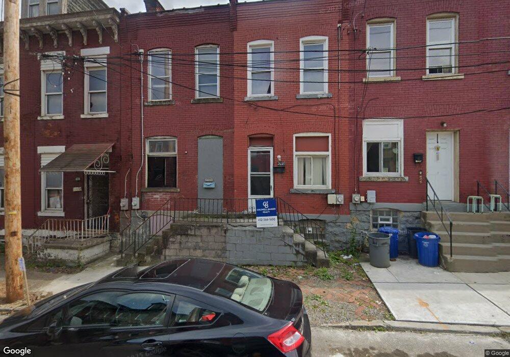
2010 Forbes Ave Pittsburgh, PA 15219
Bluff NeighborhoodEstimated Value: $39,162 - $155,000
2
Beds
1
Bath
864
Sq Ft
$119/Sq Ft
Est. Value
About This Home
This home is located at 2010 Forbes Ave, Pittsburgh, PA 15219 and is currently estimated at $103,041, approximately $119 per square foot. 2010 Forbes Ave is a home located in Allegheny County with nearby schools including Pittsburgh Weil PreK-5, Pittsburgh Milliones 6-12, and Urban Pathways K-5 College Charter School.
Ownership History
Date
Name
Owned For
Owner Type
Purchase Details
Closed on
Jul 9, 2025
Sold by
Digital Pgh L L C
Bought by
A R T Image America L L C and Art Image America L L C
Current Estimated Value
Purchase Details
Closed on
Jun 30, 2016
Sold by
Glanton Mario
Bought by
Digital Pgh L L C
Purchase Details
Closed on
Oct 20, 1997
Sold by
Dutko Richard and Dutko Patricia
Bought by
Glanton Mario
Create a Home Valuation Report for This Property
The Home Valuation Report is an in-depth analysis detailing your home's value as well as a comparison with similar homes in the area
Home Values in the Area
Average Home Value in this Area
Purchase History
| Date | Buyer | Sale Price | Title Company |
|---|---|---|---|
| A R T Image America L L C | $14,328 | -- | |
| A R T Image America L L C | $14,328 | -- | |
| Digital Pgh L L C | $10,000 | Attorney | |
| Glanton Mario | $5,000 | -- |
Source: Public Records
Tax History Compared to Growth
Tax History
| Year | Tax Paid | Tax Assessment Tax Assessment Total Assessment is a certain percentage of the fair market value that is determined by local assessors to be the total taxable value of land and additions on the property. | Land | Improvement |
|---|---|---|---|---|
| 2025 | $166 | $7,200 | $4,600 | $2,600 |
| 2024 | $166 | $7,200 | $4,600 | $2,600 |
| 2023 | $166 | $7,200 | $4,600 | $2,600 |
| 2022 | $164 | $7,200 | $4,600 | $2,600 |
| 2021 | $34 | $7,200 | $4,600 | $2,600 |
| 2020 | $163 | $7,200 | $4,600 | $2,600 |
| 2019 | $163 | $7,200 | $4,600 | $2,600 |
| 2018 | $34 | $7,200 | $4,600 | $2,600 |
| 2017 | $163 | $7,200 | $4,600 | $2,600 |
| 2016 | $34 | $7,200 | $4,600 | $2,600 |
| 2015 | $34 | $7,200 | $4,600 | $2,600 |
| 2014 | $105 | $7,200 | $4,600 | $2,600 |
Source: Public Records
Map
Nearby Homes
- 2013 Blvd of the Allies
- 23 Seneca St
- 114 Seneca St
- 2043 Wyandotte St
- 1723 Locust St
- 26 Gazzam St
- 1536 Colwell St Unit 1
- 1536 Colwell St Unit 4
- 20 S 19th St Unit 29
- 327 Dinwiddie St
- 1858 Riverside Mews Unit 22
- 24 S 19th St
- 20 S 18th St
- 1821 Merriman Way
- 1815 Wharton St
- 34 S 18th St
- 2101 Wharton St
- 2130 Merriman Way
- 2132 Merriman Way
- 2134 Merriman Way
- 2010 Forbes Ave
- 2008 Forbes Ave
- 2008 Forbes Ave
- 2014 Forbes Ave
- 2012 Forbes Ave
- 2006 Forbes Ave
- 2006 Forbes Ave
- 2016 Forbes Ave Unit 201
- 2016 Forbes Ave Unit 101
- 2016 Forbes Ave
- 2004 Forbes Ave
- 2017 Tustin St
- 2002 Forbes Ave
- 2011 Tustin St
- 2015 Tustin St
- 207 Jumonville St
- 2018 Forbes Ave Unit 201
- 2018 Forbes Ave Unit 101
- 2018 Forbes Ave
- 2013 Tustin St
