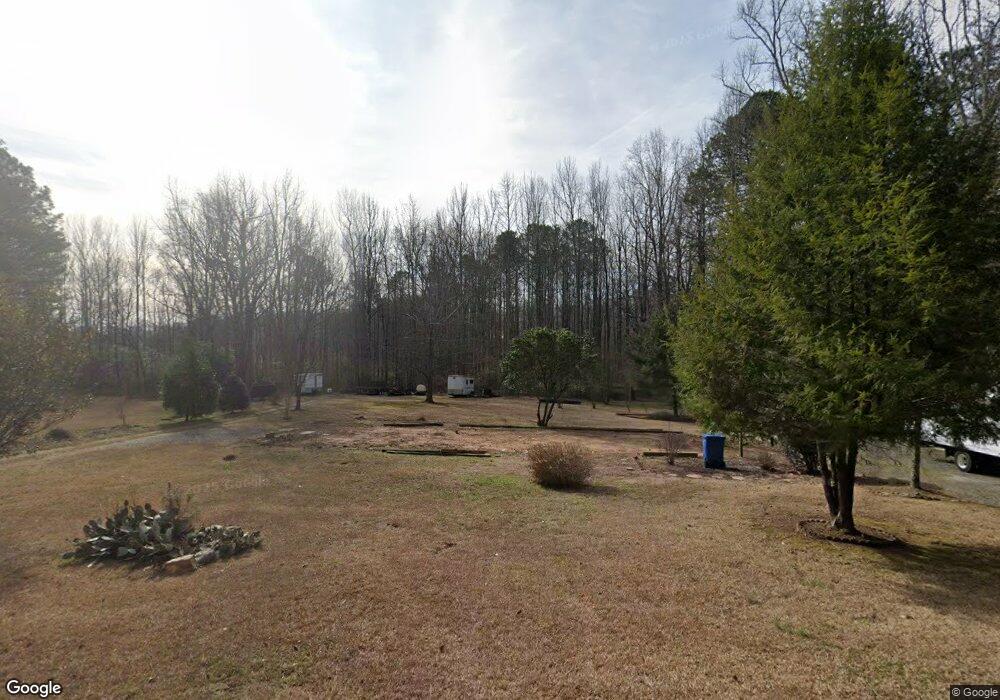
2010 Hemrick Rd Cumming, GA 30041
Big Creek NeighborhoodEstimated Value: $219,000 - $380,000
3
Beds
2
Baths
1,440
Sq Ft
$189/Sq Ft
Est. Value
About This Home
This home is located at 2010 Hemrick Rd, Cumming, GA 30041 and is currently estimated at $271,962, approximately $188 per square foot. 2010 Hemrick Rd is a home located in Forsyth County with nearby schools including Big Creek Elementary School, South Forsyth Middle School, and South Forsyth High School.
Ownership History
Date
Name
Owned For
Owner Type
Purchase Details
Closed on
Feb 23, 2022
Sold by
Sanders Debbie
Bought by
Powell Chad
Current Estimated Value
Purchase Details
Closed on
Feb 12, 2017
Sold by
Sanders Robert E
Bought by
Sanders Debbie
Purchase Details
Closed on
Jul 15, 2003
Sold by
Trusty Debbie
Bought by
Sanders Debbie and Sanders Robert
Purchase Details
Closed on
Aug 13, 2001
Sold by
Jackson Michael W and Jackson Valorie H
Bought by
Trusty Debbie
Home Financials for this Owner
Home Financials are based on the most recent Mortgage that was taken out on this home.
Original Mortgage
$73,530
Interest Rate
7.19%
Mortgage Type
New Conventional
Create a Home Valuation Report for This Property
The Home Valuation Report is an in-depth analysis detailing your home's value as well as a comparison with similar homes in the area
Home Values in the Area
Average Home Value in this Area
Purchase History
| Date | Buyer | Sale Price | Title Company |
|---|---|---|---|
| Powell Chad | $220,000 | None Listed On Document | |
| Sanders Debbie | -- | -- | |
| Sanders Debbie | -- | -- | |
| Trusty Debbie | $77,400 | -- |
Source: Public Records
Mortgage History
| Date | Status | Borrower | Loan Amount |
|---|---|---|---|
| Previous Owner | Trusty Debbie | $73,530 |
Source: Public Records
Tax History Compared to Growth
Tax History
| Year | Tax Paid | Tax Assessment Tax Assessment Total Assessment is a certain percentage of the fair market value that is determined by local assessors to be the total taxable value of land and additions on the property. | Land | Improvement |
|---|---|---|---|---|
| 2025 | $1,199 | $55,316 | $54,672 | $644 |
| 2024 | $1,199 | $48,900 | $48,240 | $660 |
| 2023 | $1,477 | $59,988 | $53,064 | $6,924 |
| 2022 | $156 | $29,280 | $22,800 | $6,480 |
| 2021 | $136 | $29,280 | $22,800 | $6,480 |
| 2020 | $136 | $29,440 | $22,800 | $6,640 |
| 2019 | $660 | $28,320 | $20,520 | $7,800 |
| 2018 | $633 | $26,800 | $19,000 | $7,800 |
| 2017 | $635 | $26,800 | $19,000 | $7,800 |
| 2016 | $551 | $23,000 | $15,200 | $7,800 |
| 2015 | $552 | $23,000 | $15,200 | $7,800 |
| 2014 | $539 | $23,640 | $0 | $0 |
Source: Public Records
Map
Nearby Homes
- 2615 Hillandale Cir
- 2472 Ballantrae Cir Unit 26
- Hedgewood with Basement Plan at Willow Glen - Highlands Collection
- Rosalynn Plan at Willow Glen - Reserve Collection
- Rhinewood with Basement Plan at Willow Glen - Reserve Collection
- Montadale with Basement Plan at Willow Glen - Highlands Collection
- Peterson with Basement Plan at Willow Glen - Reserve Collection
- Parkmont Plan at Willow Glen - Reserve Collection
- Parkmont with Basement Plan at Willow Glen - Reserve Collection
- Montadale Plan at Willow Glen - Highlands Collection
- Hillstone Plan at Willow Glen - Highlands Collection
- Peterson Plan at Willow Glen - Reserve Collection
- Antoinette with Basement Plan at Willow Glen - Highlands Collection
- Rosalynn with Basement Plan at Willow Glen - Reserve Collection
- Hillstone with Basement Plan at Willow Glen - Highlands Collection
- Antoinette Plan at Willow Glen - Highlands Collection
- Hedgewood Plan at Willow Glen - Highlands Collection
- Donington Plan at Willow Glen - Reserve Collection
- Rhinewood Plan at Willow Glen - Reserve Collection
- Donington with Basement Plan at Willow Glen - Reserve Collection
- 1957 Hemrick Rd
- 2030 Hemrick Rd
- 2019 Hemrick Rd
- 2079 Hemrick Rd
- 2035 Hemrick Rd
- 2045 Hemrick Rd
- 2065 Hemrick Rd
- 2154 Arbor Chase
- 2260 Bricker Ct
- 2170 Arbor Chase
- 2180 Arbor Chase
- 2120 Hemrick Rd
- 2090 Hemrick Rd
- 2130 Hemrick Rd
- 2250 Bricker Ct
- 2140 Hemrick Rd
- 2152 Arbor Chase
- 2150 Hemrick Rd
- 2160 Hemrick Rd
- 2255 Bricker Ct
