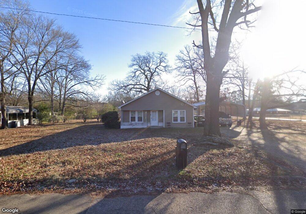
2010 Highland St Texarkana, AR 71854
Estimated Value: $46,807 - $73,000
--
Bed
1
Bath
1,106
Sq Ft
$55/Sq Ft
Est. Value
About This Home
This home is located at 2010 Highland St, Texarkana, AR 71854 and is currently estimated at $60,702, approximately $54 per square foot. 2010 Highland St is a home located in Miller County with nearby schools including Arkansas High School and Washington Academy.
Ownership History
Date
Name
Owned For
Owner Type
Purchase Details
Closed on
Nov 17, 2023
Sold by
Carmony Brent Russell and Carmony Victoria Elizabe
Bought by
Carmony Properties Llc
Current Estimated Value
Purchase Details
Closed on
May 17, 2022
Sold by
Tad Cree
Bought by
Carmony Brent Russell and Carmony Victoria Elizabeth
Purchase Details
Closed on
Nov 6, 2009
Sold by
Finnessey Jason
Bought by
Cree Tad
Home Financials for this Owner
Home Financials are based on the most recent Mortgage that was taken out on this home.
Original Mortgage
$45,000
Interest Rate
4.83%
Mortgage Type
New Conventional
Purchase Details
Closed on
Oct 15, 1986
Bought by
Akin Keith Herman and Akin Sandra
Purchase Details
Closed on
Feb 9, 1942
Bought by
Hankins B C
Create a Home Valuation Report for This Property
The Home Valuation Report is an in-depth analysis detailing your home's value as well as a comparison with similar homes in the area
Home Values in the Area
Average Home Value in this Area
Purchase History
| Date | Buyer | Sale Price | Title Company |
|---|---|---|---|
| Carmony Properties Llc | -- | Miller County Abstract Title | |
| Carmony Brent Russell | -- | Kemp Karlton H | |
| Cree Tad | $42,000 | Southwest Title Company | |
| Akin Keith Herman | $33,000 | -- | |
| Hankins B C | -- | -- |
Source: Public Records
Mortgage History
| Date | Status | Borrower | Loan Amount |
|---|---|---|---|
| Previous Owner | Cree Tad | $45,000 |
Source: Public Records
Tax History Compared to Growth
Tax History
| Year | Tax Paid | Tax Assessment Tax Assessment Total Assessment is a certain percentage of the fair market value that is determined by local assessors to be the total taxable value of land and additions on the property. | Land | Improvement |
|---|---|---|---|---|
| 2024 | $449 | $7,820 | $2,840 | $4,980 |
| 2023 | $429 | $7,820 | $2,840 | $4,980 |
| 2022 | $429 | $7,820 | $2,840 | $4,980 |
| 2021 | $429 | $7,820 | $2,840 | $4,980 |
| 2020 | $429 | $7,820 | $2,840 | $4,980 |
| 2019 | $408 | $7,430 | $2,840 | $4,590 |
| 2018 | $408 | $7,430 | $2,840 | $4,590 |
| 2017 | $408 | $7,430 | $2,840 | $4,590 |
| 2016 | $408 | $7,430 | $2,840 | $4,590 |
| 2015 | $58 | $7,430 | $2,840 | $4,590 |
| 2014 | $120 | $8,570 | $2,840 | $5,730 |
Source: Public Records
Map
Nearby Homes
- 2214 Line Ferry Rd
- 1802 Prospect St
- 3109 Line Ferry Rd
- 1215 Cleveland St
- 1210 Orleans St
- 609 Logan St
- 1202 Orleans St
- 1206 Orleans St
- 1212 Grape St
- 104 Hubbard St
- 1301 S State Line Ave
- 0 Kirby St
- 6 Country Club Ln Unit 6 Pine Grove
- 2907 S State Line Ave
- TBD Fairview St
- 601 Fairview St
- 519 Artesian St
- 515 Artesian St
- 705 Boyce Ln
- 702 Genoa Rd
- 2011 Selma St
- 2002 Highland St
- 1918 Line Ferry Rd
- 2102 Highland St
- 2101 Selma St
- 2001 Selma St
- 1914 Line Ferry Rd
- 1920 Highland St
- 2100 Selma St
- 2002 Selma St
- 1915 Selma St
- 2006 Selma St
- 2107 Selma St
- 1917 Highland St
- 1906 Highland St
- 1927 Line Ferry Rd
- 1907 Selma St
- 1905 Highland St
- 1920 Selma St
- 1910 Line Ferry Rd